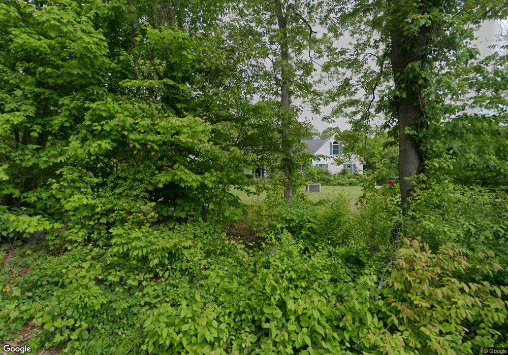
157 Branch Hill Rd Preston, CT 06365
Estimated Value: $492,000 - $598,000
3
Beds
3
Baths
1,996
Sq Ft
$264/Sq Ft
Est. Value
About This Home
This home is located at 157 Branch Hill Rd, Preston, CT 06365 and is currently estimated at $526,178, approximately $263 per square foot. 157 Branch Hill Rd is a home located in New London County.
Ownership History
Date
Name
Owned For
Owner Type
Purchase Details
Closed on
Sep 16, 2011
Sold by
Waldron Judith N Est
Bought by
Smith Gary A and Smith Mary F
Current Estimated Value
Home Financials for this Owner
Home Financials are based on the most recent Mortgage that was taken out on this home.
Original Mortgage
$187,000
Outstanding Balance
$128,788
Interest Rate
4.38%
Mortgage Type
Purchase Money Mortgage
Estimated Equity
$397,390
Purchase Details
Closed on
Mar 25, 1999
Sold by
Smiley John G and Smiley Anita
Bought by
Waldron Judith N
Purchase Details
Closed on
Jun 13, 1996
Sold by
Smiley John G
Bought by
Ceccarelli Dale
Create a Home Valuation Report for This Property
The Home Valuation Report is an in-depth analysis detailing your home's value as well as a comparison with similar homes in the area
Home Values in the Area
Average Home Value in this Area
Purchase History
| Date | Buyer | Sale Price | Title Company |
|---|---|---|---|
| Smith Gary A | $320,000 | -- | |
| Waldron Judith N | $42,000 | -- | |
| Ceccarelli Dale | $30,000 | -- |
Source: Public Records
Mortgage History
| Date | Status | Borrower | Loan Amount |
|---|---|---|---|
| Open | Ceccarelli Dale | $187,000 | |
| Previous Owner | Ceccarelli Dale | $213,700 |
Source: Public Records
Tax History Compared to Growth
Tax History
| Year | Tax Paid | Tax Assessment Tax Assessment Total Assessment is a certain percentage of the fair market value that is determined by local assessors to be the total taxable value of land and additions on the property. | Land | Improvement |
|---|---|---|---|---|
| 2024 | $6,550 | $280,280 | $54,740 | $225,540 |
| 2023 | $6,432 | $280,280 | $54,740 | $225,540 |
| 2022 | $5,342 | $191,600 | $47,800 | $143,800 |
| 2021 | $5,162 | $191,600 | $47,800 | $143,800 |
| 2020 | $5,154 | $191,600 | $47,800 | $143,800 |
| 2019 | $5,064 | $191,600 | $47,800 | $143,800 |
| 2018 | $4,987 | $191,600 | $47,800 | $143,800 |
| 2017 | $4,942 | $205,900 | $47,800 | $158,100 |
| 2016 | $4,890 | $205,900 | $47,800 | $158,100 |
| 2015 | $4,736 | $205,900 | $47,800 | $158,100 |
| 2014 | $4,765 | $205,900 | $47,800 | $158,100 |
Source: Public Records
Map
Nearby Homes
- 57 NW Corner Rd
- 39 Doolittle Rd
- 203 Old Jewett City Rd
- 381 Route 164
- 23A Tanglewood Dr
- 6 Stanton Ln
- 5 Mattern Rd
- 4 Wilderness Acres
- 55A Anna Farm Rd W
- 63 Route 165
- 381 Route 2
- 59 Long Society Rd
- 6 Lake of Isles Rd
- 42 Pierce Rd
- 146 Route 2
- 3 Webster Dr
- 17 Daniel St
- 168 Corning Rd
- 79 Roosevelt Ave
- 105 Stonington Rd
- 155 Branch Hill Rd
- 170 Branch Hill Rd
- 165 Branch Hill Rd
- 174 Branch Hill Rd
- 168 Branch Hill Rd
- 160 Branch Hill Rd
- 178 Branch Hill Rd
- 169 Branch Hill Rd
- 167 Branch Hill Rd
- 158 Branch Hill Rd
- 159 Branch Hill Rd
- 153 Branch Hill Rd
- 171 Branch Hill Rd
- 161 Branch Hill Rd
- 180 Branch Hill Rd
- 152 Branch Hill Rd
- 173 Branch Hill Rd
- 184 Branch Hill Rd
- 175 Branch Hill Rd
- 188 Branch Hill Rd