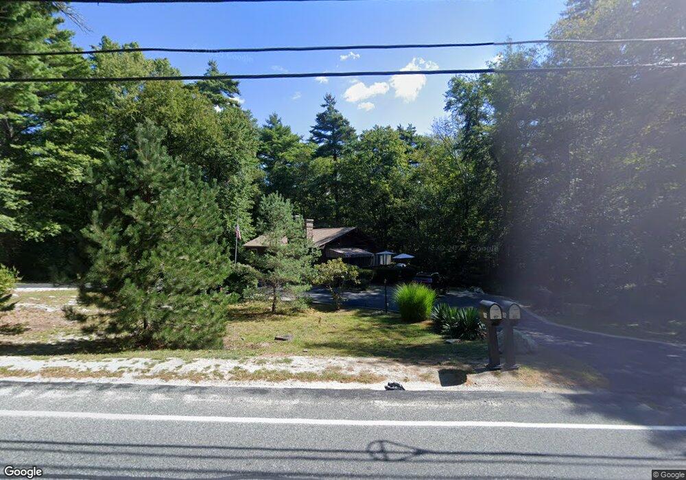
157 Bullock Rd East Freetown, MA 02717
Estimated Value: $398,000 - $604,000
2
Beds
1
Bath
864
Sq Ft
$583/Sq Ft
Est. Value
About This Home
This home is located at 157 Bullock Rd, East Freetown, MA 02717 and is currently estimated at $503,387, approximately $582 per square foot. 157 Bullock Rd is a home located in Bristol County with nearby schools including George R Austin Intermediate School, Freetown-Lakeville Middle School, and Apponequet Regional High School.
Ownership History
Date
Name
Owned For
Owner Type
Purchase Details
Closed on
Sep 23, 2020
Sold by
Lent Susan C and Konelick Kathleen C
Bought by
Konelick-Lent Rt
Current Estimated Value
Purchase Details
Closed on
Aug 21, 1987
Sold by
Lawrence Cecile M
Bought by
Lent Susan M
Create a Home Valuation Report for This Property
The Home Valuation Report is an in-depth analysis detailing your home's value as well as a comparison with similar homes in the area
Home Values in the Area
Average Home Value in this Area
Purchase History
| Date | Buyer | Sale Price | Title Company |
|---|---|---|---|
| Konelick-Lent Rt | -- | None Available | |
| Lent Susan M | $123,900 | -- |
Source: Public Records
Mortgage History
| Date | Status | Borrower | Loan Amount |
|---|---|---|---|
| Previous Owner | Lent Susan M | $70,000 | |
| Previous Owner | Lent Susan M | $85,000 | |
| Previous Owner | Lent Susan M | $85,000 |
Source: Public Records
Tax History Compared to Growth
Tax History
| Year | Tax Paid | Tax Assessment Tax Assessment Total Assessment is a certain percentage of the fair market value that is determined by local assessors to be the total taxable value of land and additions on the property. | Land | Improvement |
|---|---|---|---|---|
| 2025 | $3,589 | $362,200 | $169,500 | $192,700 |
| 2024 | $3,592 | $344,400 | $159,900 | $184,500 |
| 2023 | $3,459 | $323,000 | $144,000 | $179,000 |
| 2022 | $3,298 | $273,500 | $122,000 | $151,500 |
| 2021 | $3,185 | $250,800 | $110,900 | $139,900 |
| 2020 | $3,101 | $238,200 | $106,700 | $131,500 |
| 2019 | $2,936 | $223,300 | $101,600 | $121,700 |
| 2018 | $2,822 | $212,000 | $101,600 | $110,400 |
| 2017 | $2,756 | $206,900 | $101,600 | $105,300 |
| 2016 | $2,630 | $200,900 | $98,700 | $102,200 |
| 2015 | $2,566 | $198,900 | $98,700 | $100,200 |
| 2014 | $2,444 | $193,800 | $96,600 | $97,200 |
Source: Public Records
Map
Nearby Homes
- 150 Quanapoag Rd
- Lot 2/3 Quanapoag Rd
- 144 Chace Rd
- 599 Quanapoag Rd
- 0 Costa Dr
- 264 Collins Corner Rd
- 1475 Braley Rd Unit 17
- 195 Slab Bridge Rd
- 13 Luscomb Ln
- 16 Swallow St
- 1069 Cherokee St
- 4597 Acushnet Ave
- 300 High Hill Rd
- 64 Blaze Rd
- 353 Upland St
- 210 Heritage Dr
- 319 Northwest St
- 34 Poplar Rd
- 145 Heritage Dr
- ES Phillips Rd
- 159 Bullock Rd
- 155 Bullock Rd
- 161 Bullock Rd
- 153 Bullock Rd
- 151 Bullock Rd
- 141 Chipaway Rd
- 143 Chipaway Rd
- 163 Bullock Rd
- 149 Bullock Rd
- 147 Bullock Rd
- 144 Chipaway Rd
- 138 Chipaway Rd
- 171 Bullock Rd
- 145 Bullock Rd
- 146 Chipaway Rd
- 175 Bullock Rd
- 143 Bullock Rd
- 5 Algonquin Way
- 4 Algonquin Way
- 177 Bullock Rd