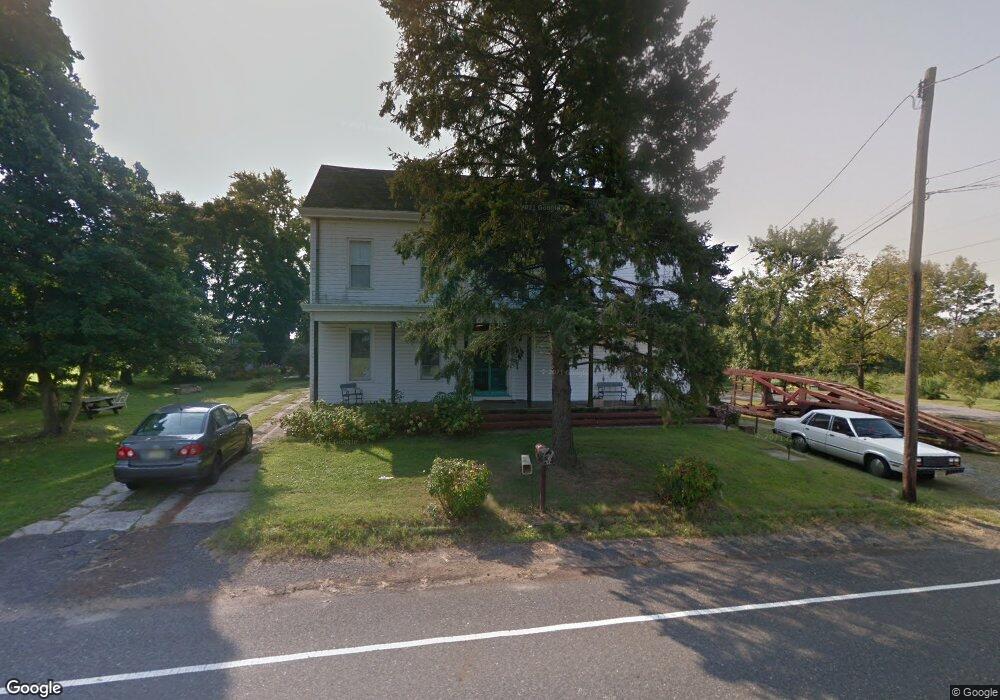
157 Burlington Path Rd Cream Ridge, NJ 08514
Estimated Value: $730,000 - $1,009,000
2
Beds
3
Baths
4,232
Sq Ft
$199/Sq Ft
Est. Value
About This Home
This home is located at 157 Burlington Path Rd, Cream Ridge, NJ 08514 and is currently estimated at $841,110, approximately $198 per square foot. 157 Burlington Path Rd is a home located in Monmouth County with nearby schools including Newell Elementary School, Stonebridge Middle School, and Allentown High School.
Ownership History
Date
Name
Owned For
Owner Type
Purchase Details
Closed on
Jul 16, 2001
Sold by
Emlet Opal
Bought by
Wallsten Carl and Wallsten Jeanna
Current Estimated Value
Home Financials for this Owner
Home Financials are based on the most recent Mortgage that was taken out on this home.
Original Mortgage
$145,000
Interest Rate
6.99%
Create a Home Valuation Report for This Property
The Home Valuation Report is an in-depth analysis detailing your home's value as well as a comparison with similar homes in the area
Home Values in the Area
Average Home Value in this Area
Purchase History
| Date | Buyer | Sale Price | Title Company |
|---|---|---|---|
| Wallsten Carl | $235,000 | -- |
Source: Public Records
Mortgage History
| Date | Status | Borrower | Loan Amount |
|---|---|---|---|
| Previous Owner | Wallsten Carl | $145,000 |
Source: Public Records
Tax History Compared to Growth
Tax History
| Year | Tax Paid | Tax Assessment Tax Assessment Total Assessment is a certain percentage of the fair market value that is determined by local assessors to be the total taxable value of land and additions on the property. | Land | Improvement |
|---|---|---|---|---|
| 2025 | $12,755 | $614,800 | $208,200 | $406,600 |
| 2024 | $12,453 | $591,600 | $138,700 | $452,900 |
| 2023 | $12,453 | $560,700 | $128,500 | $432,200 |
| 2022 | $11,511 | $518,200 | $106,600 | $411,600 |
| 2021 | $11,511 | $474,700 | $106,600 | $368,100 |
| 2020 | $11,090 | $459,400 | $101,600 | $357,800 |
| 2019 | $10,914 | $455,300 | $101,600 | $353,700 |
| 2018 | $10,674 | $438,700 | $101,600 | $337,100 |
| 2017 | $10,341 | $430,700 | $101,500 | $329,200 |
| 2016 | $10,019 | $422,400 | $101,500 | $320,900 |
| 2015 | $9,573 | $407,900 | $101,500 | $306,400 |
| 2014 | $9,728 | $417,700 | $111,500 | $306,200 |
Source: Public Records
Map
Nearby Homes
- 0 Route 537 Unit 22533818
- 168 Burlington Path Rd
- 18 Schoolhouse Rd
- 193 Burlington Path Rd
- 17 Grant Dr
- 106 Holmes Mill Rd
- L:24 01 Route 537
- 9 Arneytown Hornerstown Rd
- 42 Hill Rd
- 47 Imlaystown Rd
- 16 Cranberry Dr
- 7 Longview Trail
- 3 Copperfield Dr
- 12 Copperfield Dr
- 791 Monmouth Rd
- 23 Kuzyk Rd
- 393 E Millstream Rd
- 10 Postal Rd
- 724 Monmouth Rd Unit 8
- 724 Monmouth Rd Unit 37
- 166 Burlington Path Rd
- 153 Burlington Path Rd
- 151 Burlington Path Rd
- 172 Burlington Path Rd
- 164 Burlington Path Rd
- 0 Route 537 Unit 1007397188
- 0 Route 537 Unit 1007393908
- 0 Route 537 Unit 7226139
- 0 Route 537 Unit 6491505
- 0 Route 537 Unit 6499848
- 0 Route 537 Unit NJMM2002300
- 0 Route 537 Unit NJMM2001674
- 000 Wygant Rd
- 162 Burlington Path Rd
- 160 Burlington Path Rd
- 170 Burlington Path Rd
- 176 Burlington Path Rd
- 174 Burlington Path Rd
- 1111 County Road 539
- 233 County Road 539