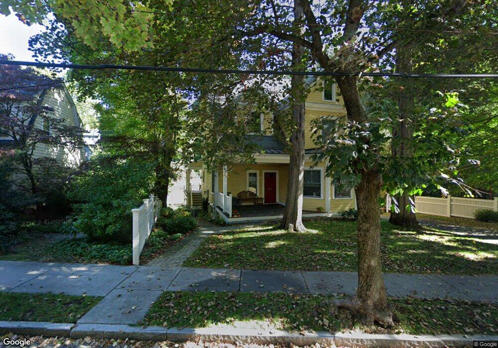
157 Clark Rd Brookline, MA 02445
Brookline Village NeighborhoodEstimated Value: $2,194,000 - $2,626,737
6
Beds
3
Baths
2,732
Sq Ft
$899/Sq Ft
Est. Value
About This Home
This home is located at 157 Clark Rd, Brookline, MA 02445 and is currently estimated at $2,456,184, approximately $899 per square foot. 157 Clark Rd is a home located in Norfolk County with nearby schools including John D. Runkle School, Brookline High School, and Maimonides School.
Ownership History
Date
Name
Owned For
Owner Type
Purchase Details
Closed on
Jun 27, 2007
Sold by
Cohen Alan E and Cohen Lois E
Bought by
Pertel Donna G and Pertel Peter E
Current Estimated Value
Home Financials for this Owner
Home Financials are based on the most recent Mortgage that was taken out on this home.
Original Mortgage
$745,000
Outstanding Balance
$459,288
Interest Rate
6.24%
Mortgage Type
Purchase Money Mortgage
Estimated Equity
$1,996,896
Create a Home Valuation Report for This Property
The Home Valuation Report is an in-depth analysis detailing your home's value as well as a comparison with similar homes in the area
Home Values in the Area
Average Home Value in this Area
Purchase History
| Date | Buyer | Sale Price | Title Company |
|---|---|---|---|
| Pertel Donna G | $995,000 | -- |
Source: Public Records
Mortgage History
| Date | Status | Borrower | Loan Amount |
|---|---|---|---|
| Open | Pertel Donna G | $745,000 |
Source: Public Records
Tax History
| Year | Tax Paid | Tax Assessment Tax Assessment Total Assessment is a certain percentage of the fair market value that is determined by local assessors to be the total taxable value of land and additions on the property. | Land | Improvement |
|---|---|---|---|---|
| 2025 | $22,801 | $2,310,100 | $1,223,100 | $1,087,000 |
| 2024 | $21,658 | $2,216,800 | $1,176,000 | $1,040,800 |
| 2023 | $18,345 | $1,840,000 | $840,200 | $999,800 |
| 2022 | $17,857 | $1,752,400 | $800,200 | $952,200 |
| 2021 | $16,513 | $1,685,000 | $769,400 | $915,600 |
| 2020 | $15,132 | $1,601,300 | $699,400 | $901,900 |
| 2019 | $14,289 | $1,525,000 | $666,100 | $858,900 |
| 2018 | $13,404 | $1,416,900 | $631,900 | $785,000 |
| 2017 | $13,208 | $1,336,800 | $596,300 | $740,500 |
| 2016 | $13,018 | $1,249,300 | $557,300 | $692,000 |
| 2015 | $12,469 | $1,167,500 | $520,700 | $646,800 |
| 2014 | $13,012 | $1,142,400 | $479,000 | $663,400 |
Source: Public Records
Map
Nearby Homes
- 115 Clark Rd
- 24 Blake Rd
- 140 Sumner Rd Unit 1
- 90 Addington Rd Unit 1
- 90 Addington Rd Unit 2
- 75 Greenough St Unit 2
- 71 Greenough St Unit 71-1
- 15 Colbourne Crescent Unit 2
- 55 Leicester St
- 120 Seaver St Unit C-102
- 84 Winthrop Rd Unit 1
- 84 Winthrop Rd
- 101 Winthrop Rd Unit 1
- 34 Hyslop Rd
- 20 Claflin Rd Unit A
- 89 University Rd
- 57 University Rd Unit 3
- 282 Buckminster Rd
- 4 Fairbanks St Unit 2
- 135 Beaconsfield Rd Unit 2
- 161 Clark Rd
- 147 Clark Rd
- 160 Clark Rd
- 152 Clark Rd
- 152 Clark Rd Unit SF
- 169 Clark Rd
- 166 Clark Rd
- 150 Clark Rd Unit 2
- 150 Clark Rd Unit 1
- 141 Clark Rd
- 170 Clark Rd
- 144 Clark Rd
- 175 Clark Rd
- 135 Clark Rd
- 166 Tappan St
- 181 Clark Rd
- 129 Clark Rd
- 177 Clark Rd Unit Garage
- 177 Clark Rd Unit B2
- 177 Clark Rd
Your Personal Tour Guide
Ask me questions while you tour the home.