157 David Ln Westhampton, NY 11977
Estimated Value: $943,000 - $1,334,000
Studio
--
Bath
--
Sq Ft
2,919
Sq Ft Lot
About This Home
This home is located at 157 David Ln, Westhampton, NY 11977 and is currently estimated at $1,164,287. 157 David Ln is a home located in Suffolk County with nearby schools including Westhampton Beach Elementary School, Westhampton Middle School, and Westhampton Beach Senior High School.
Ownership History
Date
Name
Owned For
Owner Type
Purchase Details
Closed on
Aug 27, 2010
Sold by
Mckinnon Linda
Bought by
Depierro John A and Depierro Mary Eileen
Current Estimated Value
Home Financials for this Owner
Home Financials are based on the most recent Mortgage that was taken out on this home.
Original Mortgage
$252,000
Outstanding Balance
$167,330
Interest Rate
4.55%
Mortgage Type
Purchase Money Mortgage
Estimated Equity
$996,957
Purchase Details
Closed on
Aug 5, 2008
Sold by
Pulte Homes Of New York Llc
Bought by
Mckinnon Linda
Create a Home Valuation Report for This Property
The Home Valuation Report is an in-depth analysis detailing your home's value as well as a comparison with similar homes in the area
Home Values in the Area
Average Home Value in this Area
Purchase History
| Date | Buyer | Sale Price | Title Company |
|---|---|---|---|
| Depierro John A | $495,000 | -- | |
| Mckinnon Linda | $550,000 | Dennis Brody |
Source: Public Records
Mortgage History
| Date | Status | Borrower | Loan Amount |
|---|---|---|---|
| Open | Depierro John A | $252,000 |
Source: Public Records
Tax History
| Year | Tax Paid | Tax Assessment Tax Assessment Total Assessment is a certain percentage of the fair market value that is determined by local assessors to be the total taxable value of land and additions on the property. | Land | Improvement |
|---|---|---|---|---|
| 2024 | -- | $514,500 | -- | $514,500 |
| 2023 | -- | $514,500 | $0 | $514,500 |
| 2022 | $4,670 | $514,500 | $0 | $514,500 |
| 2021 | $4,670 | $514,500 | $0 | $514,500 |
| 2020 | $4,281 | $514,500 | $0 | $514,500 |
| 2019 | $4,281 | $0 | $0 | $0 |
| 2018 | -- | $514,500 | $0 | $514,500 |
| 2017 | $4,579 | $514,500 | $0 | $514,500 |
| 2016 | $4,647 | $514,500 | $0 | $514,500 |
| 2015 | -- | $514,500 | $0 | $514,500 |
| 2014 | -- | $514,500 | $0 | $514,500 |
Source: Public Records
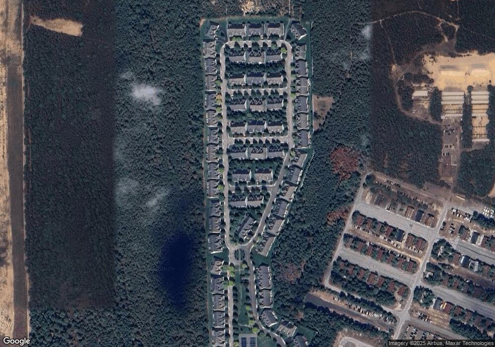
Map
Nearby Homes
- 39 Kimberly Dr
- 112 Ashley Dr
- 18 Sophia Ct
- 16 Sophia Ct
- 17 Sophia Ct
- 15 Sophia Ct
- 95 N Summit Blvd
- 98 Old Country Rd
- 5 Wood Hollow Dr
- 0 Unknown Unit 1101 ONE3577056
- 0 Unknown Unit 1102 ONE3577142
- 0 Unknown Unit 1203 ONE3576868
- 0 Unknown Unit 401 ONE3577151
- 0 Unknown Unit 303 ONE3577338
- 0 Unknown Unit 1201 ONE3576853
- 0 Unknown Unit 302 ONE3577335
- 0 Unknown Unit 1202 ONE3576857
- 0 Unknown Unit 301 ONE3577325
- 0 Unknown Unit 402 ONE3577322
- 183 Old Country Rd
- 156 David Ln
- 158 David Ln
- 159 David Ln
- 153 David Ln
- 154 David Ln
- 152 David Ln
- 155 David Ln
- 164 Jonathan Ln
- 165 Jonathan Ln
- 163 Jonathan Ln
- 162 Jonathan Ln
- 97 Samantha Cir
- 98 Samantha Cir
- 96 Samantha Cir
- 161 Jonathan Ln
- 99 Samantha Cir
- 95 Samantha Cir
- 95 Samantha Cir Unit 95
- 160 Jonathan Ln
- 100 Samantha Cir
Your Personal Tour Guide
Ask me questions while you tour the home.