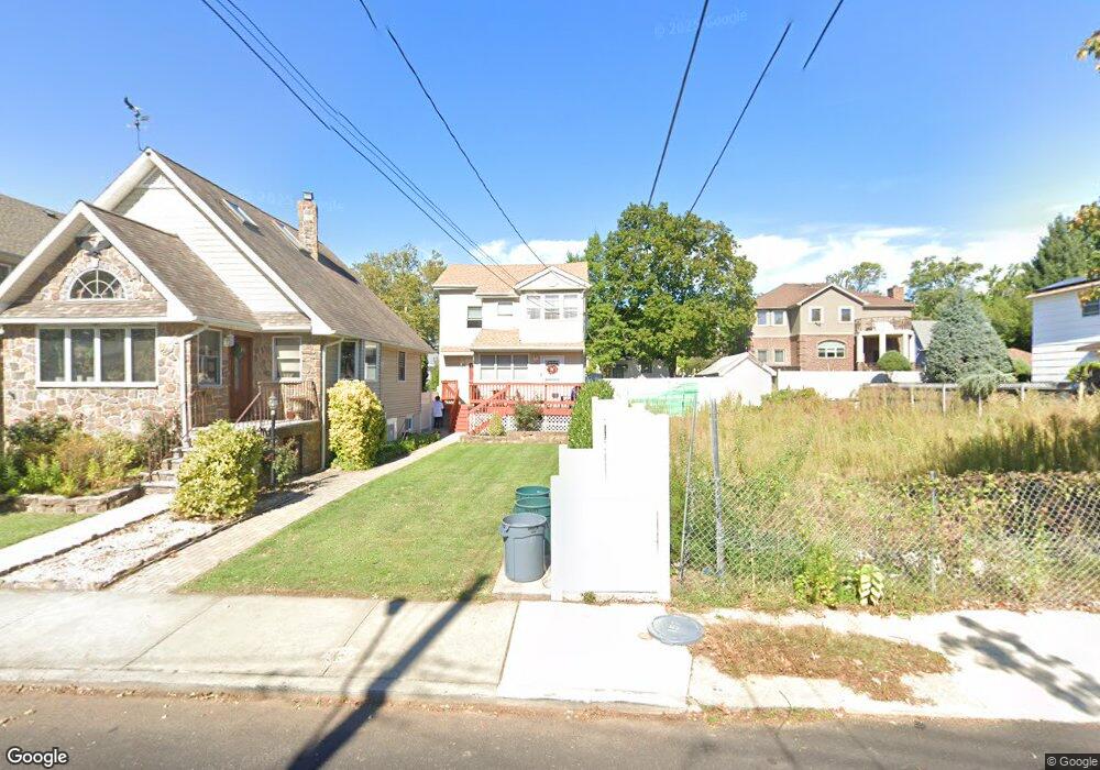
157 Driggs St Unit 159 Staten Island, NY 10308
Great Kills NeighborhoodEstimated Value: $704,000 - $1,124,000
--
Bed
--
Bath
3,032
Sq Ft
$297/Sq Ft
Est. Value
About This Home
This home is located at 157 Driggs St Unit 159, Staten Island, NY 10308 and is currently estimated at $901,667, approximately $297 per square foot. 157 Driggs St Unit 159 is a home located in Richmond County with nearby schools including P.S. 8 Shirlee Solomon, Myra S. Barnes Intermediate School 24, and New Dorp High School.
Ownership History
Date
Name
Owned For
Owner Type
Purchase Details
Closed on
Apr 15, 2010
Sold by
Heidelberg Roger
Bought by
Heidelberg Jay J
Current Estimated Value
Purchase Details
Closed on
Oct 16, 1996
Sold by
Corrado Stephen N and Corrado Luan
Bought by
Heidelberg Jay J and Heidelberg Roger
Create a Home Valuation Report for This Property
The Home Valuation Report is an in-depth analysis detailing your home's value as well as a comparison with similar homes in the area
Home Values in the Area
Average Home Value in this Area
Purchase History
| Date | Buyer | Sale Price | Title Company |
|---|---|---|---|
| Heidelberg Jay J | $30,000 | Chicago Title Insurance Co | |
| Heidelberg Jay J | $217,500 | -- |
Source: Public Records
Tax History Compared to Growth
Tax History
| Year | Tax Paid | Tax Assessment Tax Assessment Total Assessment is a certain percentage of the fair market value that is determined by local assessors to be the total taxable value of land and additions on the property. | Land | Improvement |
|---|---|---|---|---|
| 2025 | $8,148 | $83,940 | $7,193 | $76,747 |
| 2024 | $8,148 | $78,360 | $7,269 | $71,091 |
| 2023 | $7,773 | $38,275 | $6,855 | $31,420 |
| 2022 | $7,633 | $66,780 | $14,700 | $52,080 |
| 2021 | $7,591 | $61,620 | $14,700 | $46,920 |
| 2020 | $7,585 | $60,900 | $14,700 | $46,200 |
| 2019 | $7,072 | $58,800 | $14,700 | $44,100 |
| 2018 | $6,204 | $31,896 | $8,485 | $23,411 |
| 2017 | $6,196 | $31,863 | $9,077 | $22,786 |
| 2016 | $5,699 | $30,060 | $14,700 | $15,360 |
| 2015 | -- | $29,864 | $14,604 | $15,260 |
| 2014 | -- | $28,174 | $12,975 | $15,199 |
Source: Public Records
Map
Nearby Homes
- 56 William Ave
- 111 David St
- 232 Robinson Ave
- 172 Armstrong Ave
- 247 Hillcrest St
- 233 King St
- 11 Russell St
- 9 Russell St
- 79 Robinson Ave
- 249 Lindenwood Rd
- 4028 Hylan Blvd
- 241 Lindenwood Rd
- 31 Hillcrest St
- 268 Nelson Ave
- 61 Heinz Ave
- 139 Winchester Ave
- 72 Goodall St
- 69 Littlefield Ave
- 198 Wiman Ave
- 144 Winchester Ave