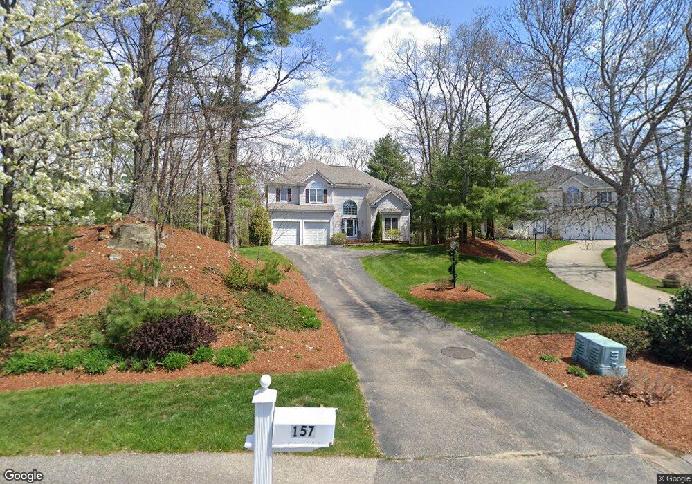
157 Ewald Ave Marlborough, MA 01752
Estimated Value: $850,000 - $969,000
4
Beds
3
Baths
2,842
Sq Ft
$316/Sq Ft
Est. Value
About This Home
This home is located at 157 Ewald Ave, Marlborough, MA 01752 and is currently estimated at $898,444, approximately $316 per square foot. 157 Ewald Ave is a home located in Middlesex County with nearby schools including Marlborough High School, New Covenant Christian School, and Glenhaven Academy - JRI School.
Ownership History
Date
Name
Owned For
Owner Type
Purchase Details
Closed on
Mar 30, 2017
Sold by
King James E and King Marilyn L
Bought by
King Ft
Current Estimated Value
Purchase Details
Closed on
Aug 31, 2000
Sold by
Forest Grove Rt and Terrill Richard E
Bought by
King James E and King Marilyn L
Home Financials for this Owner
Home Financials are based on the most recent Mortgage that was taken out on this home.
Original Mortgage
$30,000
Interest Rate
8.16%
Mortgage Type
Purchase Money Mortgage
Create a Home Valuation Report for This Property
The Home Valuation Report is an in-depth analysis detailing your home's value as well as a comparison with similar homes in the area
Home Values in the Area
Average Home Value in this Area
Purchase History
| Date | Buyer | Sale Price | Title Company |
|---|---|---|---|
| King Ft | -- | -- | |
| King James E | $317,639 | -- |
Source: Public Records
Mortgage History
| Date | Status | Borrower | Loan Amount |
|---|---|---|---|
| Previous Owner | King James E | $30,000 |
Source: Public Records
Tax History Compared to Growth
Tax History
| Year | Tax Paid | Tax Assessment Tax Assessment Total Assessment is a certain percentage of the fair market value that is determined by local assessors to be the total taxable value of land and additions on the property. | Land | Improvement |
|---|---|---|---|---|
| 2025 | $8,681 | $880,400 | $259,100 | $621,300 |
| 2024 | $8,328 | $813,300 | $235,600 | $577,700 |
| 2023 | $8,541 | $740,100 | $197,800 | $542,300 |
| 2022 | $8,230 | $627,300 | $188,300 | $439,000 |
| 2021 | $8,098 | $586,800 | $159,900 | $426,900 |
| 2020 | $7,877 | $555,500 | $146,900 | $408,600 |
| 2019 | $7,603 | $540,400 | $143,900 | $396,500 |
| 2018 | $7,590 | $518,800 | $126,200 | $392,600 |
| 2017 | $7,449 | $486,200 | $124,100 | $362,100 |
| 2016 | $7,081 | $461,600 | $124,100 | $337,500 |
| 2015 | $7,037 | $446,500 | $116,200 | $330,300 |
Source: Public Records
Map
Nearby Homes
- 114 Linda Cir
- 109 Westminster Dr Unit 109
- 624 Boston Post Rd E Unit 7
- 608 Boston Post Rd E Unit 11
- 596 Boston Post Rd E Unit 13
- 596 Boston Post Rd E
- 688 Boston Post Rd E Unit 202
- 688 Boston Post Rd E Unit 304
- 688 Boston Post Rd E Unit 100
- 688 Boston Post Rd E Unit 324
- 688 Boston Post Rd E Unit 228
- 23 Victoria Ln
- 271 Boston Post Rd E Unit 4
- 261 Boston Post Rd E Unit 1
- 10 Eldorado Dr
- 32 Ethel
- 13 Vals Ln
- 16 Holly Hill Ln
- 3 Garabed Blvd
- 38 Collins Dr