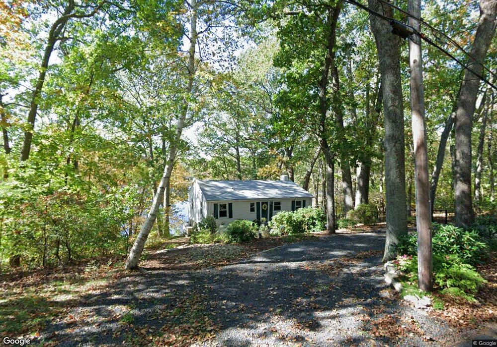
157 Grier Rd Vernon Rockville, CT 06066
North Vernon NeighborhoodEstimated Value: $361,223 - $640,000
2
Beds
2
Baths
972
Sq Ft
$463/Sq Ft
Est. Value
About This Home
This home is located at 157 Grier Rd, Vernon Rockville, CT 06066 and is currently estimated at $450,056, approximately $463 per square foot. 157 Grier Rd is a home located in Tolland County with nearby schools including Center Road School, Vernon Center Middle School, and Rockville High School.
Ownership History
Date
Name
Owned For
Owner Type
Purchase Details
Closed on
Aug 28, 1997
Sold by
Davanzo Carolyn
Bought by
Pesci Donald and Pesci Andree
Current Estimated Value
Home Financials for this Owner
Home Financials are based on the most recent Mortgage that was taken out on this home.
Original Mortgage
$186,000
Interest Rate
7.41%
Mortgage Type
Unknown
Create a Home Valuation Report for This Property
The Home Valuation Report is an in-depth analysis detailing your home's value as well as a comparison with similar homes in the area
Home Values in the Area
Average Home Value in this Area
Purchase History
| Date | Buyer | Sale Price | Title Company |
|---|---|---|---|
| Pesci Donald | $209,000 | -- |
Source: Public Records
Mortgage History
| Date | Status | Borrower | Loan Amount |
|---|---|---|---|
| Open | Pesci Donald | $130,000 | |
| Closed | Pesci Donald | $145,332 | |
| Closed | Pesci Donald | $186,000 |
Source: Public Records
Tax History Compared to Growth
Tax History
| Year | Tax Paid | Tax Assessment Tax Assessment Total Assessment is a certain percentage of the fair market value that is determined by local assessors to be the total taxable value of land and additions on the property. | Land | Improvement |
|---|---|---|---|---|
| 2025 | $6,530 | $180,940 | $85,680 | $95,260 |
| 2024 | $6,349 | $180,940 | $85,680 | $95,260 |
| 2023 | $6,042 | $180,940 | $85,680 | $95,260 |
| 2022 | $6,042 | $180,940 | $85,680 | $95,260 |
| 2021 | $5,960 | $150,400 | $75,600 | $74,800 |
| 2020 | $5,960 | $150,400 | $75,600 | $74,800 |
| 2019 | $5,960 | $150,400 | $75,600 | $74,800 |
| 2018 | $5,960 | $150,400 | $75,600 | $74,800 |
| 2017 | $5,822 | $150,400 | $75,600 | $74,800 |
| 2016 | $5,657 | $148,760 | $82,720 | $66,040 |
| 2015 | $5,543 | $148,760 | $82,720 | $66,040 |
| 2014 | $5,372 | $148,760 | $82,720 | $66,040 |
Source: Public Records
Map
Nearby Homes
- 7 Laurelwood Ln Unit Lot 15
- 12 Laurelwood Ln Unit lot 8
- 5 Laurelwood Ln Unit lot 16
- 676 Bolton Rd
- 101 Dockerel Rd
- 30 Tolland Rd
- 1230 Boston Turnpike
- 49 Vernon Rd
- 10 Lakeside Ln
- 93 Dockerel Rd
- 10 Danny Trail
- 30 Brent Dr
- 22 Scott Dr
- 0 Boston Turnpike Unit 24128587
- 31 Lawlor Rd
- 510 Tunnel Rd
- 15 Carter Dr
- 4 Susan Rd
- 208 New Rd
- 111 Cemetary Rd