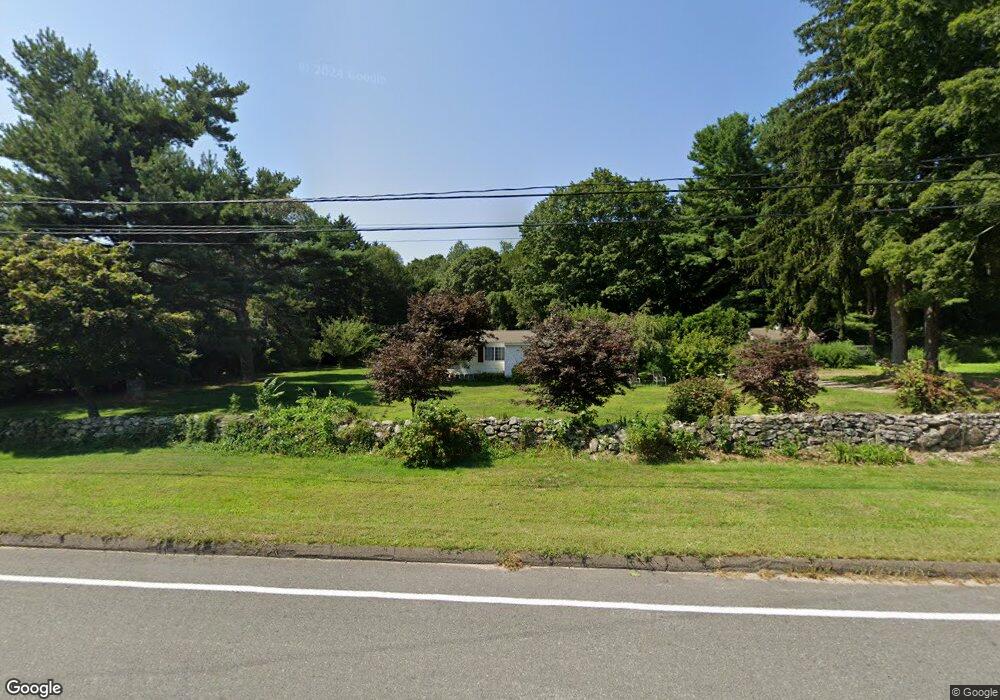
157 Grove Beach Rd N Westbrook, CT 06498
Estimated Value: $213,000 - $627,000
2
Beds
1
Bath
962
Sq Ft
$393/Sq Ft
Est. Value
About This Home
This home is located at 157 Grove Beach Rd N, Westbrook, CT 06498 and is currently estimated at $378,447, approximately $393 per square foot. 157 Grove Beach Rd N is a home located in Middlesex County with nearby schools including Daisy Ingraham School, Westbrook Middle School, and Westbrook High School.
Ownership History
Date
Name
Owned For
Owner Type
Purchase Details
Closed on
Oct 17, 2002
Sold by
Kolody Marion
Bought by
Westbrook Cong Witness
Current Estimated Value
Home Financials for this Owner
Home Financials are based on the most recent Mortgage that was taken out on this home.
Original Mortgage
$67,900
Interest Rate
6.27%
Mortgage Type
Purchase Money Mortgage
Purchase Details
Closed on
Oct 8, 2002
Sold by
Kolody Marion
Bought by
Kruszewski Charles R and Kruszewski Joyce B
Home Financials for this Owner
Home Financials are based on the most recent Mortgage that was taken out on this home.
Original Mortgage
$67,900
Interest Rate
6.27%
Mortgage Type
Purchase Money Mortgage
Create a Home Valuation Report for This Property
The Home Valuation Report is an in-depth analysis detailing your home's value as well as a comparison with similar homes in the area
Home Values in the Area
Average Home Value in this Area
Purchase History
| Date | Buyer | Sale Price | Title Company |
|---|---|---|---|
| Westbrook Cong Witness | $50,000 | -- | |
| Kruszewski Charles R | $70,000 | -- |
Source: Public Records
Mortgage History
| Date | Status | Borrower | Loan Amount |
|---|---|---|---|
| Open | Kruszewski Charles R | $397,500 | |
| Closed | Kruszewski Charles R | $86,000 | |
| Closed | Kruszewski Charles R | $67,900 |
Source: Public Records
Tax History Compared to Growth
Tax History
| Year | Tax Paid | Tax Assessment Tax Assessment Total Assessment is a certain percentage of the fair market value that is determined by local assessors to be the total taxable value of land and additions on the property. | Land | Improvement |
|---|---|---|---|---|
| 2025 | $3,852 | $171,190 | $118,280 | $52,910 |
| 2024 | $3,715 | $171,190 | $118,280 | $52,910 |
| 2023 | $3,650 | $171,190 | $118,280 | $52,910 |
| 2022 | $3,554 | $171,190 | $118,280 | $52,910 |
| 2021 | $3,035 | $121,400 | $63,010 | $58,390 |
| 2020 | $3,035 | $121,400 | $63,010 | $58,390 |
| 2019 | $2,995 | $121,400 | $63,010 | $58,390 |
| 2018 | $2,959 | $121,400 | $63,010 | $58,390 |
| 2017 | $2,959 | $121,400 | $63,010 | $58,390 |
| 2016 | $2,969 | $128,290 | $67,510 | $60,780 |
| 2015 | $2,888 | $128,290 | $67,510 | $60,780 |
| 2014 | $2,795 | $128,290 | $67,510 | $60,780 |
Source: Public Records
Map
Nearby Homes
- 86 Grove Beach Rd N
- 407 Grove Beach Rd N
- 5 Robin Ln
- 448 A - B Grove Beach Rd N
- 109 Old Post Rd
- 37 Nolin Rd
- 50 & 61 Grove Way
- 20 Carriage Dr
- 0 Causeway
- 176 Shore Rd
- 280 E Main St Unit E6
- 280 E Main St Unit A2
- 0 Boston Post Rd Unit 24080344
- 8 W Woods Dr
- 29 Brush Hill Rd
- 31 Founders Village
- 328 Hammock Rd N
- 0 E Main St
- 192 E Main St
- 610 Marina Way Landing Unit 610
- 139 Grove Beach Rd N
- 195 Grove Beach Rd N
- 160 Grove Beach Rd N
- 184 Grove Beach Rd N
- 150 Grove Beach Rd N
- 140 Grove Beach Rd N
- 194 Grove Beach Rd N
- 130 Grove Beach Rd N
- 13 Blue Gill Ln
- 215 Grove Beach Rd N
- 5 Blue Gill Ln
- 54 Broadway N
- 54 Broadway S Unit NORTH
- 6 Blue Gill Ln
- 19 Oak Dr
- 18 Oak Dr
- 21 Blue Gill Ln
- 16 Blue Gill Ln
- 14 Blue Gill Ln
- 14 Blue Gill Ln