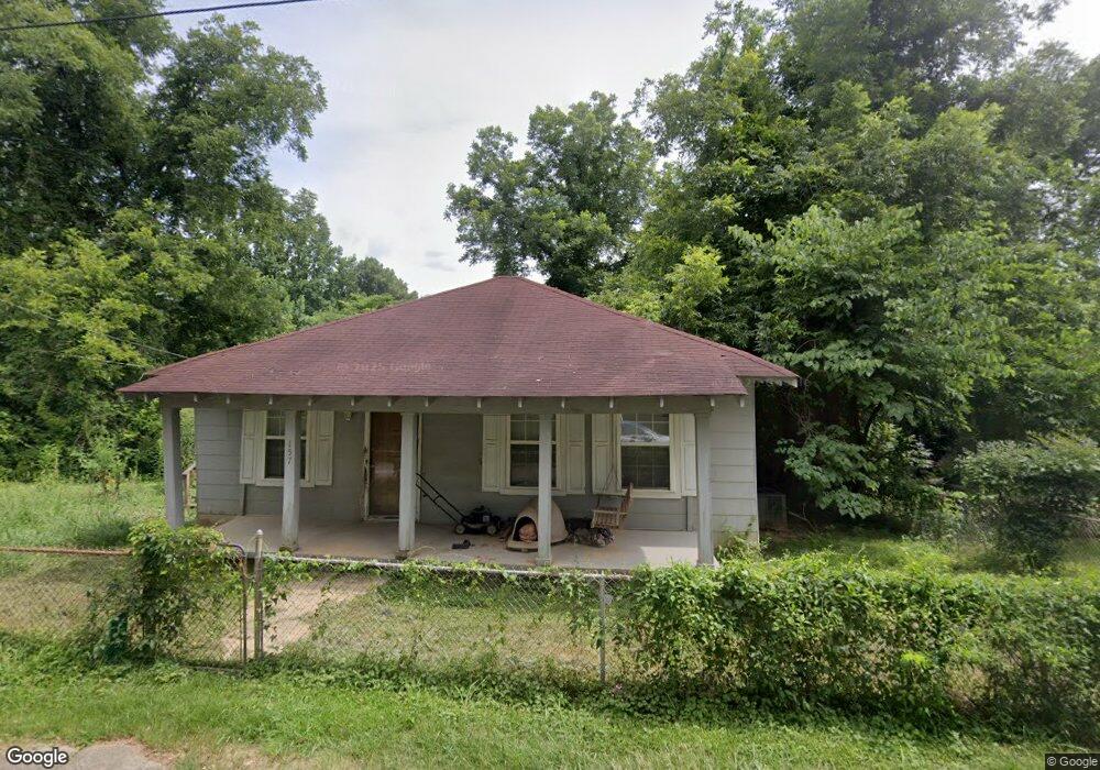
157 High St Cordova, AL 35550
Estimated Value: $45,923 - $141,000
--
Bed
--
Bath
1,219
Sq Ft
$77/Sq Ft
Est. Value
About This Home
This home is located at 157 High St, Cordova, AL 35550 and is currently estimated at $93,462, approximately $76 per square foot. 157 High St is a home located in Walker County.
Ownership History
Date
Name
Owned For
Owner Type
Purchase Details
Closed on
Aug 1, 2020
Sold by
Dockery Bonita
Bought by
Pate Dawson Scott
Current Estimated Value
Purchase Details
Closed on
Feb 19, 2007
Sold by
Kemp Evie B and King Louise
Bought by
Docerty Bonita and Busbin Jerry F
Purchase Details
Closed on
Feb 17, 2006
Sold by
Myers Mildred Clark and Williamson Mildred Clark Myers
Bought by
Myers Angela I and Myers Terry
Home Financials for this Owner
Home Financials are based on the most recent Mortgage that was taken out on this home.
Original Mortgage
$75,600
Interest Rate
6.04%
Purchase Details
Closed on
May 2, 2005
Sold by
Myers Mildred Clark and Williamson Mildred Clark Myres
Bought by
Myers Terry W and Myers Angela I
Create a Home Valuation Report for This Property
The Home Valuation Report is an in-depth analysis detailing your home's value as well as a comparison with similar homes in the area
Home Values in the Area
Average Home Value in this Area
Purchase History
| Date | Buyer | Sale Price | Title Company |
|---|---|---|---|
| Pate Dawson Scott | -- | None Available | |
| Docerty Bonita | -- | -- | |
| Myers Angela I | -- | -- | |
| Myers Terry W | -- | -- |
Source: Public Records
Mortgage History
| Date | Status | Borrower | Loan Amount |
|---|---|---|---|
| Previous Owner | Myers Terry W | $0 | |
| Previous Owner | Wilson Grant | $59,000 | |
| Previous Owner | Myers Angela I | $75,600 |
Source: Public Records
Tax History Compared to Growth
Tax History
| Year | Tax Paid | Tax Assessment Tax Assessment Total Assessment is a certain percentage of the fair market value that is determined by local assessors to be the total taxable value of land and additions on the property. | Land | Improvement |
|---|---|---|---|---|
| 2024 | $68 | $1,740 | $220 | $1,520 |
| 2023 | $68 | $1,740 | $220 | $1,520 |
| 2022 | $64 | $1,640 | $220 | $1,420 |
| 2021 | $59 | $1,496 | $220 | $1,276 |
| 2020 | $59 | $1,500 | $220 | $1,280 |
| 2019 | $284 | $1,500 | $220 | $1,280 |
| 2018 | $49 | $1,260 | $220 | $1,040 |
| 2017 | $49 | $1,260 | $220 | $1,040 |
| 2016 | $49 | $1,260 | $220 | $1,040 |
| 2015 | $49 | $1,260 | $220 | $1,040 |
| 2014 | $137 | $3,500 | $220 | $3,280 |
| 2013 | $390 | $3,180 | $220 | $2,960 |
Source: Public Records
Map
Nearby Homes
- 0 Columbus Blvd
- 68 Buttercup Ln
- 307 Amory Ave
- 0 4 Lots St
- 0 Underwood Ferry Rd Unit 21421632
- 00 Mt View Rd
- 0 Gardners Gin Rd Unit 21399626
- 0 Old Parrish Cordova Rd
- 0 Cedar Ln Unit 25-659
- 39 Thomas Rd
- 47 Hyche Rd
- 180 Mary Austin Rd
- 5102 Shadow Wood Dr
- 799 River Rd
- 00 I-22 and Industrial Dr NE
- 0 Rivers Edge Trail
- 0 SW Industrial Blvd Unit 24-1056
- 0 Carl Cannon Blvd
- 5746 Old Birmingham Hwy
- 3205 Lakewood Dr