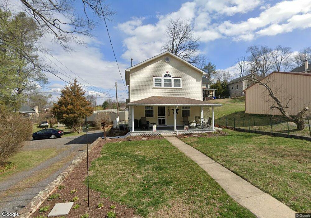
157 Huyett St Mohnton, PA 19540
Pennwyn NeighborhoodEstimated Value: $184,000 - $208,000
2
Beds
1
Bath
936
Sq Ft
$206/Sq Ft
Est. Value
About This Home
This home is located at 157 Huyett St, Mohnton, PA 19540 and is currently estimated at $192,853, approximately $206 per square foot. 157 Huyett St is a home located in Berks County with nearby schools including Cumru Elementary School, Governor Mifflin Intermediate School, and Governor Mifflin Middle School.
Ownership History
Date
Name
Owned For
Owner Type
Purchase Details
Closed on
Sep 27, 2001
Sold by
Rumsey Jason L and Rumsey Tracy L
Bought by
Thomas David R and Surkala Debra A
Current Estimated Value
Home Financials for this Owner
Home Financials are based on the most recent Mortgage that was taken out on this home.
Original Mortgage
$90,690
Outstanding Balance
$35,577
Interest Rate
6.92%
Mortgage Type
Purchase Money Mortgage
Estimated Equity
$157,276
Create a Home Valuation Report for This Property
The Home Valuation Report is an in-depth analysis detailing your home's value as well as a comparison with similar homes in the area
Home Values in the Area
Average Home Value in this Area
Purchase History
| Date | Buyer | Sale Price | Title Company |
|---|---|---|---|
| Thomas David R | $93,500 | -- |
Source: Public Records
Mortgage History
| Date | Status | Borrower | Loan Amount |
|---|---|---|---|
| Open | Thomas David R | $90,690 |
Source: Public Records
Tax History Compared to Growth
Tax History
| Year | Tax Paid | Tax Assessment Tax Assessment Total Assessment is a certain percentage of the fair market value that is determined by local assessors to be the total taxable value of land and additions on the property. | Land | Improvement |
|---|---|---|---|---|
| 2025 | $1,064 | $59,600 | $26,300 | $33,300 |
| 2024 | $2,742 | $59,600 | $26,300 | $33,300 |
| 2023 | $2,665 | $59,600 | $26,300 | $33,300 |
| 2022 | $2,599 | $59,600 | $26,300 | $33,300 |
| 2021 | $2,547 | $59,600 | $26,300 | $33,300 |
| 2020 | $2,547 | $59,600 | $26,300 | $33,300 |
| 2019 | $2,516 | $59,600 | $26,300 | $33,300 |
| 2018 | $2,471 | $59,600 | $26,300 | $33,300 |
| 2017 | $2,423 | $59,600 | $26,300 | $33,300 |
| 2016 | $943 | $59,600 | $26,300 | $33,300 |
| 2015 | $943 | $59,600 | $26,300 | $33,300 |
| 2014 | $943 | $59,600 | $26,300 | $33,300 |
Source: Public Records
Map
Nearby Homes
- 836 Scenic Dr
- 1970 Cedar Top Rd
- 131 E Wyomissing Ave
- 120 E Wyomissing Ave
- 121 E Summit St
- 15 Lake St
- 18 Front St
- 127 Cedar Ln
- 140 S Church St
- 611 Maplewood Ave
- 419 Holland St
- 3 Monroe St
- 26 E Mohn St
- 13 E Summit St
- 139 Hillcrest Rd
- 206 N Church St
- 1694 Cedar Top Rd
- 165 Hillcrest Rd
- 28 N Church St
- 52 W Wyomissing Ave