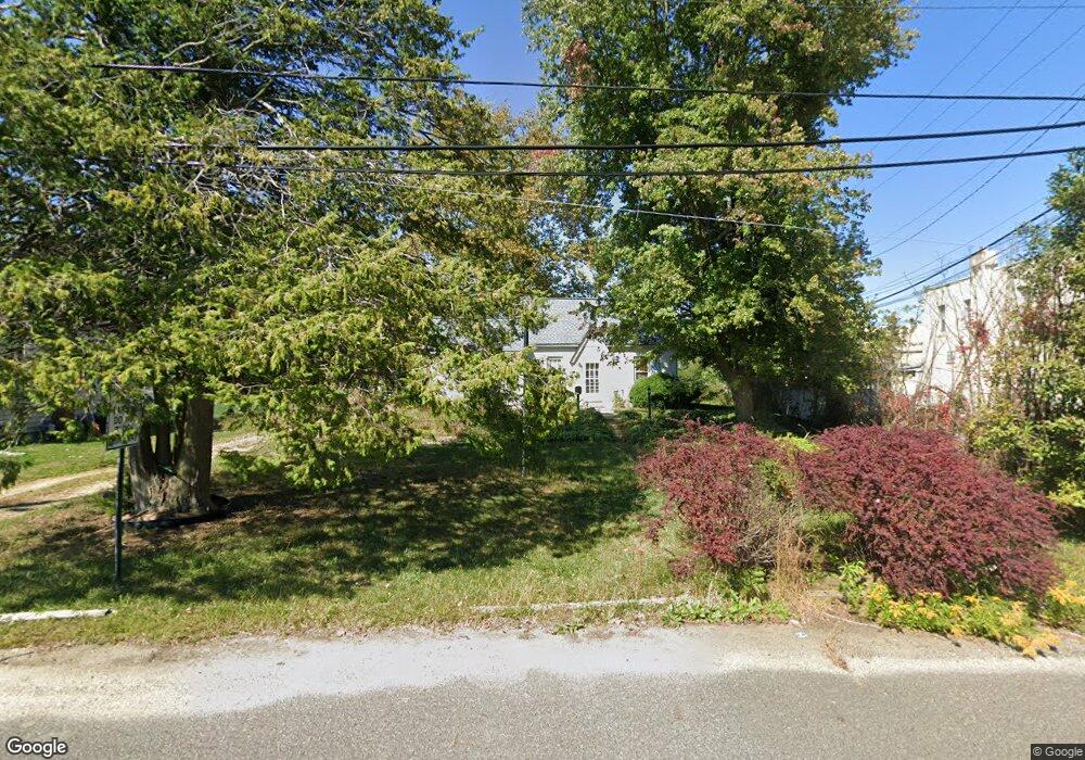
157 Lindale Ave Williamstown, NJ 08094
Estimated Value: $204,376 - $248,000
--
Bed
--
Bath
867
Sq Ft
$265/Sq Ft
Est. Value
About This Home
This home is located at 157 Lindale Ave, Williamstown, NJ 08094 and is currently estimated at $229,844, approximately $265 per square foot. 157 Lindale Ave is a home located in Gloucester County with nearby schools including Williamstown High School, St. Mary School, and Finest of the Wheat Christian.
Ownership History
Date
Name
Owned For
Owner Type
Purchase Details
Closed on
Jul 24, 1996
Sold by
Gennusa Anthony J
Bought by
Pfunder William
Current Estimated Value
Home Financials for this Owner
Home Financials are based on the most recent Mortgage that was taken out on this home.
Original Mortgage
$73,400
Outstanding Balance
$5,368
Interest Rate
8.37%
Mortgage Type
VA
Estimated Equity
$224,476
Purchase Details
Closed on
Nov 28, 1994
Sold by
Gennusa Ignazio and Gennusa Joseph
Bought by
Gennusa Anthony J
Create a Home Valuation Report for This Property
The Home Valuation Report is an in-depth analysis detailing your home's value as well as a comparison with similar homes in the area
Home Values in the Area
Average Home Value in this Area
Purchase History
| Date | Buyer | Sale Price | Title Company |
|---|---|---|---|
| Pfunder William | $72,000 | American Title Abstract | |
| Gennusa Anthony J | -- | -- |
Source: Public Records
Mortgage History
| Date | Status | Borrower | Loan Amount |
|---|---|---|---|
| Open | Pfunder William | $73,400 |
Source: Public Records
Tax History Compared to Growth
Tax History
| Year | Tax Paid | Tax Assessment Tax Assessment Total Assessment is a certain percentage of the fair market value that is determined by local assessors to be the total taxable value of land and additions on the property. | Land | Improvement |
|---|---|---|---|---|
| 2025 | $4,186 | $114,300 | $49,800 | $64,500 |
| 2024 | $4,155 | $114,300 | $49,800 | $64,500 |
| 2023 | $4,155 | $114,300 | $49,800 | $64,500 |
| 2022 | $4,135 | $114,300 | $49,800 | $64,500 |
| 2021 | $4,162 | $114,300 | $49,800 | $64,500 |
| 2020 | $4,157 | $114,300 | $49,800 | $64,500 |
| 2019 | $4,132 | $114,300 | $49,800 | $64,500 |
| 2018 | $4,065 | $114,300 | $49,800 | $64,500 |
| 2017 | $5,880 | $166,000 | $88,200 | $77,800 |
| 2016 | $5,805 | $166,000 | $88,200 | $77,800 |
| 2015 | $5,639 | $166,000 | $88,200 | $77,800 |
| 2014 | $5,475 | $166,000 | $88,200 | $77,800 |
Source: Public Records
Map
Nearby Homes
- 109 Lindale Ave
- 101 N Black Horse Pike
- 117 Cora Ave
- L. 5 N Black Horse Pike
- 503 Sicklerville Rd
- 45 Sicklerville Rd
- 872 Black Horse Pike
- 1240 Glassboro Rd
- 109 Poplar St
- 604 Cobblestone Rd
- 535 Frederick St
- 507 Saint Kitts Dr
- 712 Brandywine Dr Unit A1
- 532 Key Dr W
- 516 Saint Martin Ct
- 547 Doral Dr
- 20 Maple Ave
- 563 Doral Dr
- 354 S Main St
- 382 Saint Thomas Blvd
- 149 Lindale Ave
- 415 N Black Horse Pike
- 415 N Black Horse Pike
- 141 Lindale Ave
- 158 Lindale Ave
- 133 Lindale Ave
- 150 Lindale Ave
- 136 Pedrick Ave
- 130 Pedrick Ave
- 333 N Black Horse Pike
- 127 Lindale Ave
- 142 Pedrick Ave
- 148 Pedrick Ave
- 124 Pedrick Ave
- 132 Lindale Ave
- 460 N Black Horse Pike
- 121 Lindale Ave
- 145 Saybrook Ave
- 137 Saybrook Ave
- 112 Pedrick Ave