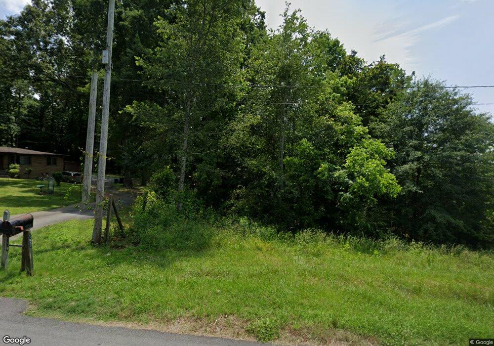
157 Maddox Rd Unit Tract Buford, GA 30518
Estimated Value: $355,501 - $506,000
About This Home
This home is located at 157 Maddox Rd Unit Tract, Buford, GA 30518 and is currently estimated at $435,834, approximately $224 per square foot. 157 Maddox Rd Unit Tract is a home located in Gwinnett County with nearby schools including Buford Elementary School, Buford Senior Academy, and Buford Academy.
Ownership History
We collect this data history from publicly available records. To have your information removed, we recommend requesting removal directly through your county’s website.
Purchase Details
Purchase Details
Purchase Details
Home Values in the Area
Average Home Value in this Area
Purchase History
We collect this data history from publicly available records. To have your information removed, we recommend requesting removal directly through your county’s website.
| Date | Buyer | Sale Price | Title Company |
|---|---|---|---|
| $121,600 | -- | ||
| $50,000 | -- | ||
| $40,000 | -- |
Tax History
We collect this data history from publicly available records. To have your information removed, we recommend requesting removal directly through your county’s website.
| Year | Tax Paid | Tax Assessment Tax Assessment Total Assessment is a certain percentage of the fair market value that is determined by local assessors to be the total taxable value of land and additions on the property. | Land | Improvement |
|---|---|---|---|---|
| 2025 | $1,495 | $114,000 | $24,000 | $90,000 |
| 2024 | $1,495 | $114,000 | $24,000 | $90,000 |
| 2023 | $1,495 | $117,600 | $24,000 | $93,600 |
| 2022 | $1,079 | $85,000 | $14,000 | $71,000 |
| 2021 | $1,735 | $130,720 | $59,720 | $71,000 |
| 2020 | $1,735 | $130,720 | $59,720 | $71,000 |
| 2019 | $2,664 | $215,360 | $183,360 | $32,000 |
| 2018 | $2,664 | $215,360 | $183,360 | $32,000 |
| 2016 | $2,637 | $215,360 | $183,360 | $32,000 |
| 2015 | $2,731 | $215,360 | $183,360 | $32,000 |
| 2014 | -- | $215,360 | $183,360 | $32,000 |
Map
- 101 Maddox Rd
- 2195 E Maddox Rd
- 2030 Brickton Station
- 2172 Woodbriar Dr
- 3837 Heritage Crest Place
- 2219 Brickton Crossing
- 3671 Devenwood Way
- 3684 Heritage Crest Pkwy
- 2398 E Maddox Rd
- 3628 Aveline St
- 3632 Aveline St
- 3735 Fir Dr
- 2426 E Maddox Rd
- 4353 Old Hamilton Mill Rd
- 2306 Quail Spring Trail Unit 4
- 867 Alaina Marie Ct
- 2680 Buford Hwy NE
- 2520 Heritage Ct
- 2352 E Maddox Rd
- 2350 E Maddox Rd
- 157 Maddox Rd
- 155 Maddox Rd
- 159 Maddox Rd
- 143 Maddox Rd
- 156 Maddox Rd
- 154 Maddox Rd
- 0 Maddox Rd
- 164 Maddox Rd
- 0 Road Unit 7781007
- 0 Road Unit 7780995
- 0 Road Unit 7723803
- 0 Road Unit 7736282
- 0 Road Unit 7708713
- 0 Road Unit 7704438
- 0 Road Unit 7685565
- 0 Road Unit 7681248
- 0 Road Unit 7707830
- 0 Road Unit 7746755
- 0 Road Unit 7745793
- 0 Road Unit 7727384
Ask me questions while you tour the home.