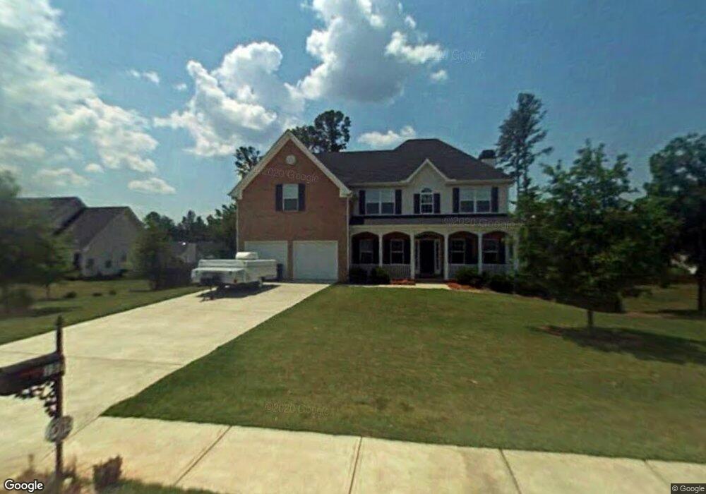
157 Moss Pointe Dr McDonough, GA 30253
Estimated Value: $369,000 - $424,000
5
Beds
4
Baths
2,696
Sq Ft
$146/Sq Ft
Est. Value
About This Home
This home is located at 157 Moss Pointe Dr, McDonough, GA 30253 and is currently estimated at $394,316, approximately $146 per square foot. 157 Moss Pointe Dr is a home located in Henry County with nearby schools including Union Grove Middle School, Union Grove High School, and Hickory Flat Elementary School.
Ownership History
Date
Name
Owned For
Owner Type
Purchase Details
Closed on
Jul 14, 2004
Sold by
Mnw Const Co
Bought by
Williams Jerry D and Williams Carol
Current Estimated Value
Home Financials for this Owner
Home Financials are based on the most recent Mortgage that was taken out on this home.
Original Mortgage
$227,538
Outstanding Balance
$113,823
Interest Rate
6.24%
Mortgage Type
VA
Estimated Equity
$280,493
Purchase Details
Closed on
Mar 3, 2004
Sold by
Hudgins Communities Inc
Bought by
Mnw Conbstruction Co
Home Financials for this Owner
Home Financials are based on the most recent Mortgage that was taken out on this home.
Original Mortgage
$162,976
Interest Rate
5.72%
Create a Home Valuation Report for This Property
The Home Valuation Report is an in-depth analysis detailing your home's value as well as a comparison with similar homes in the area
Home Values in the Area
Average Home Value in this Area
Purchase History
| Date | Buyer | Sale Price | Title Company |
|---|---|---|---|
| Williams Jerry D | $231,200 | -- | |
| Mnw Conbstruction Co | $37,800 | -- |
Source: Public Records
Mortgage History
| Date | Status | Borrower | Loan Amount |
|---|---|---|---|
| Open | Williams Jerry D | $227,538 | |
| Previous Owner | Mnw Conbstruction Co | $162,976 |
Source: Public Records
Tax History Compared to Growth
Tax History
| Year | Tax Paid | Tax Assessment Tax Assessment Total Assessment is a certain percentage of the fair market value that is determined by local assessors to be the total taxable value of land and additions on the property. | Land | Improvement |
|---|---|---|---|---|
| 2024 | $3,457 | $160,240 | $18,000 | $142,240 |
| 2023 | $4,646 | $161,400 | $18,000 | $143,400 |
| 2022 | $4,340 | $129,160 | $16,000 | $113,160 |
| 2021 | $3,751 | $104,280 | $12,000 | $92,280 |
| 2020 | $3,684 | $101,440 | $10,800 | $90,640 |
| 2019 | $3,406 | $92,720 | $10,800 | $81,920 |
| 2018 | $3,232 | $86,640 | $10,000 | $76,640 |
| 2016 | $3,043 | $81,720 | $10,000 | $71,720 |
| 2015 | $2,799 | $73,520 | $8,000 | $65,520 |
| 2014 | $2,780 | $72,360 | $8,000 | $64,360 |
Source: Public Records
Map
Nearby Homes
- 124 Crown Walk
- 129 Crown Walk
- 441 Astoria Way
- 466 Astoria Way
- 271 Mckinley Loop
- 479 Sawtooth Ln
- 273 Summit View Dr
- 209 Braemar Ct
- 176 Cranapple Ln
- 1181 Paramount Dr
- 113 Glenmore Ln
- 337 Inverness Ave
- 408 Big Leaf Walk
- 1739A Highway 42
- 245 Bald Ave
- 441 Aviemore Loop
- 240 Brannan Rd
- 360 Campground Rd
- 422 Old Ivy Path
- 168 Vintage Trail
- 153 Moss Pointe Dr
- 262 Whitney Ln
- 258 Whitney Ln
- 160 Moss Pointe Dr
- 500 Aaron Place
- 156 Moss Pointe Dr
- 149 Moss Pointe Dr
- 254 Whitney Ln
- 0 Aaron Place Unit 7462410
- 0 Aaron Place Unit 7175960
- 0 Aaron Place Unit 8637314
- 508 Aaron Place
- 152 Moss Pointe Dr
- 505 Aaron Place
- 250 Whitney Ln
- 148 Moss Pointe Dr
- 145 Moss Pointe Dr
- 362 Whitney Ln
- 509 Aaron Place
- 501 Aaron Place