157 Mount Sherman Ct Livermore, CO 80536
Estimated Value: $469,789 - $542,000
2
Beds
2
Baths
1,464
Sq Ft
$347/Sq Ft
Est. Value
About This Home
This home is located at 157 Mount Sherman Ct, Livermore, CO 80536 and is currently estimated at $507,697, approximately $346 per square foot. 157 Mount Sherman Ct is a home located in Larimer County with nearby schools including Red Feather Lakes Elementary School, Cache La Poudre Middle School, and Poudre High School.
Ownership History
Date
Name
Owned For
Owner Type
Purchase Details
Closed on
Dec 8, 1999
Sold by
Linder Melvin D
Bought by
Livingood Jerry D and Livingood Lois J
Current Estimated Value
Home Financials for this Owner
Home Financials are based on the most recent Mortgage that was taken out on this home.
Original Mortgage
$185,250
Outstanding Balance
$58,386
Interest Rate
7.95%
Estimated Equity
$449,311
Purchase Details
Closed on
Nov 1, 1991
Bought by
Linder Melvin D and Linder Lelia E
Create a Home Valuation Report for This Property
The Home Valuation Report is an in-depth analysis detailing your home's value as well as a comparison with similar homes in the area
Home Values in the Area
Average Home Value in this Area
Purchase History
| Date | Buyer | Sale Price | Title Company |
|---|---|---|---|
| Livingood Jerry D | $195,000 | Security Title | |
| Linder Melvin D | $115,000 | -- |
Source: Public Records
Mortgage History
| Date | Status | Borrower | Loan Amount |
|---|---|---|---|
| Open | Livingood Jerry D | $185,250 |
Source: Public Records
Tax History Compared to Growth
Tax History
| Year | Tax Paid | Tax Assessment Tax Assessment Total Assessment is a certain percentage of the fair market value that is determined by local assessors to be the total taxable value of land and additions on the property. | Land | Improvement |
|---|---|---|---|---|
| 2025 | $2,620 | $34,498 | $5,025 | $29,473 |
| 2024 | $2,508 | $34,498 | $5,025 | $29,473 |
| 2022 | $1,641 | $21,337 | $2,266 | $19,071 |
| 2021 | $1,657 | $21,951 | $2,331 | $19,620 |
| 2020 | $1,484 | $20,020 | $1,859 | $18,161 |
| 2019 | $1,489 | $20,020 | $1,859 | $18,161 |
| 2018 | $1,050 | $16,150 | $1,296 | $14,854 |
| 2017 | $1,047 | $16,150 | $1,296 | $14,854 |
| 2016 | $944 | $15,522 | $1,751 | $13,771 |
| 2015 | $939 | $18,490 | $1,750 | $16,740 |
| 2014 | $1,490 | $13,860 | $1,750 | $12,110 |
Source: Public Records
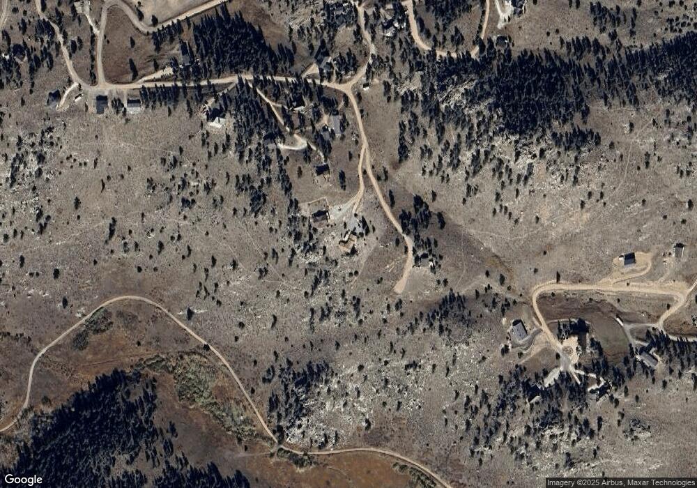
Map
Nearby Homes
- 117 Mount Sherman Ct
- 679 Mount Massive Dr
- 90 Sunlight Cir
- 487 Laplata Dr
- 23 E Quandary Ct
- 4092 Green Mountain Dr
- 1388 Mt Moriah Rd
- 556 Bald Mountain Dr
- 1388 Mount Moriah Rd
- 81 Humboldt Dr
- 62 White Slide Mountain Ct
- 609 Eiger Rd
- 166 Red Cloud Peak Ct
- 1737 Eiger Rd
- 102 Mount Princeton Ct
- 615 Guardian Peak Dr
- 91 Eagle Rising Place
- 131 Mount Apiatan Ct
- 569 Gordon Ct
- 11881 W County Road 74e
- 170 Mount Sherman Ct
- 80 Pyramid Ct
- 200 Mount Sherman Ct
- 39 Mount Sherman Ct
- 31 Pyramid Ct
- 0 Mount Sniktau Ct
- 0 Mount Sherman Ct
- 60 Blanca Ct
- 635 Mount Massive Dr
- 224 W Quandary Ct
- 180 Sunlight Cir
- 429 Walk About Rd
- 2 Walk About Rd
- 722 Mount Massive Dr
- 89 Blanca Ct
- 0 Sunlight Cir Unit RECIR1004991
- 0 Sunlight Cir
- 256 W Quandary Ct
- 61 Blanca Ct
- 23 Sunlight Cir