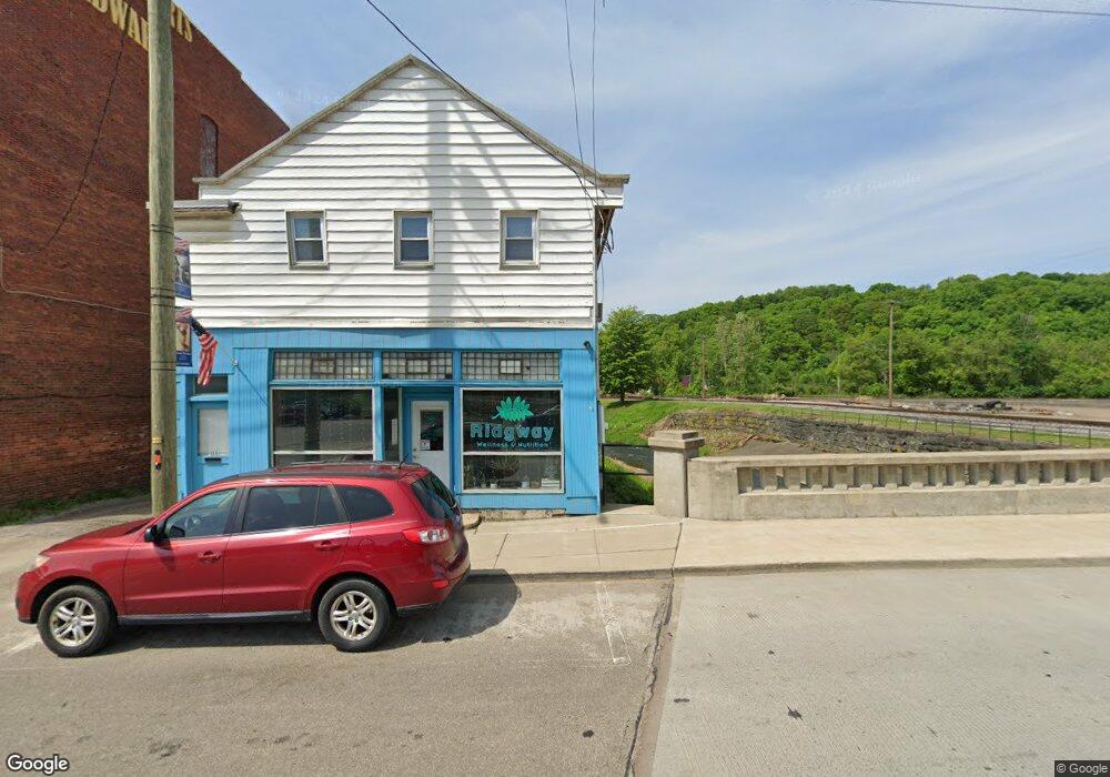
157 N Broad St Ridgway, PA 15853
Estimated Value: $266,234
--
Bed
--
Bath
2,392
Sq Ft
$111/Sq Ft
Est. Value
About This Home
This home is located at 157 N Broad St, Ridgway, PA 15853 and is currently estimated at $266,234, approximately $111 per square foot. 157 N Broad St is a home located in Elk County with nearby schools including Francis S. Grandinetti Elementary School, Ridgway Area Middle School, and Ridgway Area High School.
Ownership History
Date
Name
Owned For
Owner Type
Purchase Details
Closed on
Nov 24, 2014
Sold by
Ritter Daniel J and Ritter Michele A
Bought by
First Commonwealth Bank
Current Estimated Value
Purchase Details
Closed on
Mar 6, 2008
Sold by
Cyone Daryl F and Cyone Nancy
Bought by
Ritter Daniel J and Ritter Michele A
Home Financials for this Owner
Home Financials are based on the most recent Mortgage that was taken out on this home.
Original Mortgage
$130,500
Interest Rate
5.57%
Mortgage Type
Commercial
Create a Home Valuation Report for This Property
The Home Valuation Report is an in-depth analysis detailing your home's value as well as a comparison with similar homes in the area
Home Values in the Area
Average Home Value in this Area
Purchase History
| Date | Buyer | Sale Price | Title Company |
|---|---|---|---|
| First Commonwealth Bank | $9,244 | None Available | |
| Ritter Daniel J | $145,000 | None Available |
Source: Public Records
Mortgage History
| Date | Status | Borrower | Loan Amount |
|---|---|---|---|
| Previous Owner | Ritter Daniel J | $130,500 |
Source: Public Records
Tax History Compared to Growth
Tax History
| Year | Tax Paid | Tax Assessment Tax Assessment Total Assessment is a certain percentage of the fair market value that is determined by local assessors to be the total taxable value of land and additions on the property. | Land | Improvement |
|---|---|---|---|---|
| 2025 | $2,317 | $29,450 | $3,500 | $25,950 |
| 2024 | $2,317 | $29,450 | $3,500 | $25,950 |
| 2023 | $2,217 | $29,450 | $3,500 | $25,950 |
| 2022 | $2,120 | $29,450 | $3,500 | $25,950 |
| 2021 | $2,081 | $29,450 | $3,500 | $25,950 |
| 2020 | $2,052 | $29,450 | $3,500 | $25,950 |
| 2019 | $2,052 | $29,450 | $3,500 | $25,950 |
| 2018 | $2,022 | $29,450 | $3,500 | $25,950 |
| 2017 | $2,022 | $29,450 | $3,500 | $25,950 |
| 2016 | $1,949 | $29,450 | $3,500 | $25,950 |
| 2015 | -- | $29,450 | $3,500 | $25,950 |
| 2013 | -- | $29,450 | $3,500 | $25,950 |
Source: Public Records
Map
Nearby Homes
- 00 U S 219
- 131 Sherman Ave
- 30 Katie John Ln
- 414 Rock St
- 416 N Broad St
- 115 East Ave
- 408 Lookout Ave
- 603 Upper Front St
- 218 Cook Ave
- 133 Montmorenci Rd
- 8 South St
- 228 Monterey Ave
- 241 Monterey Ave
- 415 Ash St
- 0 Grant Meadow 2 Ln
- 0 Grant Meadow Ln
- 0 Stonehedge Meadows Dr
- 3809 Grant Rd
- 0 Ln Unit 24-53
- 0 Longview Dr Unit 24-318
- 147 N Broad St
- 143 N Broad St
- 135 N Broad St
- 202 N Broad St
- 310 Osterhout St
- 204 N Broad St
- 6 Lafayette St
- 4 Lafayette St
- 210 N Broad St
- 34 Morgan Ave
- 320 Osterhout St
- 4 1/2 Lafayette St
- 32 Morgan Ave
- 321 Allenhurst Ave
- 30 Morgan Ave
- 218 N Broad St
- 323 Allenhurst Ave
- 326 Osterhout St
- 28 Morgan Ave
- 325 Allenhurst Ave