157 New Preston Hill Rd New Preston Marble Dale, CT 06777
Estimated Value: $388,000 - $908,183
--
Bed
--
Bath
616
Sq Ft
$1,050/Sq Ft
Est. Value
About This Home
This home is located at 157 New Preston Hill Rd, New Preston Marble Dale, CT 06777 and is currently estimated at $647,046, approximately $1,050 per square foot. 157 New Preston Hill Rd is a home with nearby schools including Shepaug Valley School.
Ownership History
Date
Name
Owned For
Owner Type
Purchase Details
Closed on
Oct 16, 2013
Sold by
Bbnh Llc
Bought by
Montrose Realty Partne
Current Estimated Value
Purchase Details
Closed on
Dec 29, 2000
Sold by
Sager David
Bought by
Bbnh Llc
Home Financials for this Owner
Home Financials are based on the most recent Mortgage that was taken out on this home.
Original Mortgage
$1,240,000
Interest Rate
7.7%
Create a Home Valuation Report for This Property
The Home Valuation Report is an in-depth analysis detailing your home's value as well as a comparison with similar homes in the area
Home Values in the Area
Average Home Value in this Area
Purchase History
| Date | Buyer | Sale Price | Title Company |
|---|---|---|---|
| Montrose Realty Partne | $4,400,000 | -- | |
| Montrose Realty Partne | $4,400,000 | -- | |
| Bbnh Llc | $111,000 | -- | |
| Bbnh Llc | $111,000 | -- |
Source: Public Records
Mortgage History
| Date | Status | Borrower | Loan Amount |
|---|---|---|---|
| Previous Owner | Bbnh Llc | $1,240,000 |
Source: Public Records
Tax History Compared to Growth
Tax History
| Year | Tax Paid | Tax Assessment Tax Assessment Total Assessment is a certain percentage of the fair market value that is determined by local assessors to be the total taxable value of land and additions on the property. | Land | Improvement |
|---|---|---|---|---|
| 2025 | $6,123 | $564,340 | $126,280 | $438,060 |
| 2024 | $6,123 | $564,340 | $126,280 | $438,060 |
| 2023 | $8,055 | $565,280 | $125,520 | $439,760 |
| 2022 | $7,976 | $559,730 | $125,520 | $434,210 |
| 2021 | $7,976 | $559,730 | $125,520 | $434,210 |
| 2020 | $7,976 | $559,730 | $125,520 | $434,210 |
| 2019 | $2,232 | $156,610 | $109,820 | $46,790 |
| 2018 | $2,051 | $143,910 | $112,470 | $31,440 |
| 2017 | $1,603 | $112,470 | $112,470 | $0 |
| 2016 | $1,603 | $112,470 | $112,470 | $0 |
| 2015 | $2,008 | $146,020 | $146,020 | $0 |
| 2014 | $1,971 | $146,020 | $146,020 | $0 |
Source: Public Records
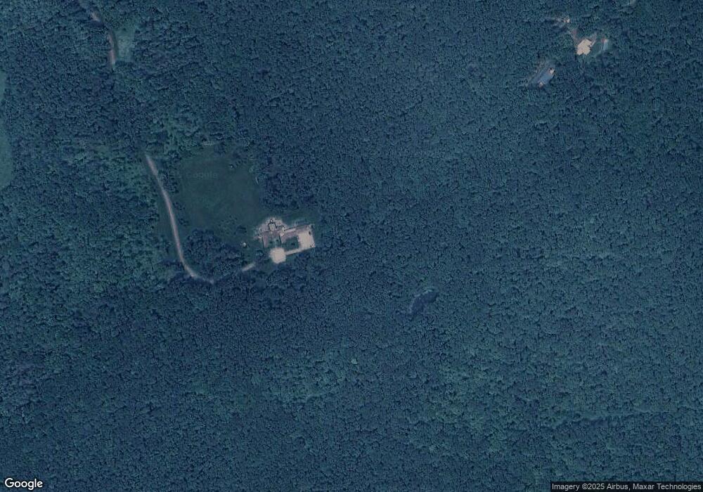
Map
Nearby Homes
- 35 Quarry Ridge Rd Unit 35
- 29 Quarry Ridge Rd
- 93 Quarry Ridge Rd Unit 93
- 35 Hillendale Dr
- 15 Connelly Rd
- 54 Scofield Hill Rd
- 217 Sawyer Hill Rd
- 10 Biliski Rd
- 226 Tinker Hill Rd
- 198 Tinker Hill Rd
- 7 Owls Nest
- 1 N Shore Rd
- 77 New Milford Turnpike
- Lot 3 060804C Upper Church Hill Rd
- Lot 4 060804B Upper Church Hill Rd
- 31 June Rd
- Lot 2 060804A Popple Swamp Rd
- LOT 1 060804 Popple Swamp Rd
- 62 Big Bear Hill Rd
- 00 Upper Church Hill & Popple Swamp Rd
- 22 New Preston Hill Rd
- 22 New Preston Hill Rd
- 272 New Milford Turnpike
- 137 New Preston Hill Rd
- 145 New Preston Hill Rd
- 151 New Preston Hill Rd
- 35 Findlay Rd
- 110 Sawyer Hill Rd
- 30 New Preston Hill Rd
- 116 Sawyer Hill Rd
- 100 Sawyer Hill Rd
- 104 Sawyer Hill Rd
- 90 Sawyer Hill Rd
- 158 New Preston Hill Rd
- 55 Findlay Rd
- 27 Findlay Rd
- 41 Findlay Rd
- 141 New Preston Hill Rd
- 20 New Preston Hill Rd
- 45 New Preston Hill Rd