157 Old Field Rd Dawson, GA 39842
Estimated Value: $172,000 - $225,839
2
Beds
1
Bath
1,724
Sq Ft
$120/Sq Ft
Est. Value
About This Home
This home is located at 157 Old Field Rd, Dawson, GA 39842 and is currently estimated at $206,710, approximately $119 per square foot. 157 Old Field Rd is a home located in Terrell County with nearby schools including Cooper-Carver Elementary School, Terrell Middle School, and Terrell High School.
Ownership History
Date
Name
Owned For
Owner Type
Purchase Details
Closed on
Feb 20, 2020
Sold by
Somerford Cheryl Lyne
Bought by
Underwood Ashley Nichole and Underwood Kevin Guy
Current Estimated Value
Home Financials for this Owner
Home Financials are based on the most recent Mortgage that was taken out on this home.
Original Mortgage
$126,100
Outstanding Balance
$111,653
Interest Rate
3.6%
Mortgage Type
New Conventional
Estimated Equity
$95,057
Purchase Details
Closed on
Jan 18, 1996
Sold by
Somerford Fred F
Bought by
Somerford Fred F
Create a Home Valuation Report for This Property
The Home Valuation Report is an in-depth analysis detailing your home's value as well as a comparison with similar homes in the area
Home Values in the Area
Average Home Value in this Area
Purchase History
| Date | Buyer | Sale Price | Title Company |
|---|---|---|---|
| Underwood Ashley Nichole | $130,000 | -- | |
| Somerford Fred F | -- | -- |
Source: Public Records
Mortgage History
| Date | Status | Borrower | Loan Amount |
|---|---|---|---|
| Open | Underwood Ashley Nichole | $126,100 |
Source: Public Records
Tax History Compared to Growth
Tax History
| Year | Tax Paid | Tax Assessment Tax Assessment Total Assessment is a certain percentage of the fair market value that is determined by local assessors to be the total taxable value of land and additions on the property. | Land | Improvement |
|---|---|---|---|---|
| 2024 | $1,763 | $50,329 | $10,608 | $39,721 |
| 2023 | $1,559 | $50,329 | $10,608 | $39,721 |
| 2022 | $1,559 | $50,329 | $10,608 | $39,721 |
| 2021 | $1,559 | $50,329 | $10,608 | $39,721 |
| 2020 | $1,331 | $50,329 | $10,608 | $39,721 |
| 2019 | $1,290 | $50,329 | $10,608 | $39,721 |
| 2018 | $1,290 | $50,329 | $10,608 | $39,721 |
| 2017 | $1,509 | $50,329 | $10,608 | $39,721 |
| 2016 | $1,290 | $50,329 | $10,608 | $39,721 |
| 2015 | -- | $50,329 | $10,608 | $39,721 |
| 2014 | -- | $50,330 | $10,608 | $39,721 |
| 2013 | -- | $50,329 | $10,608 | $39,721 |
Source: Public Records
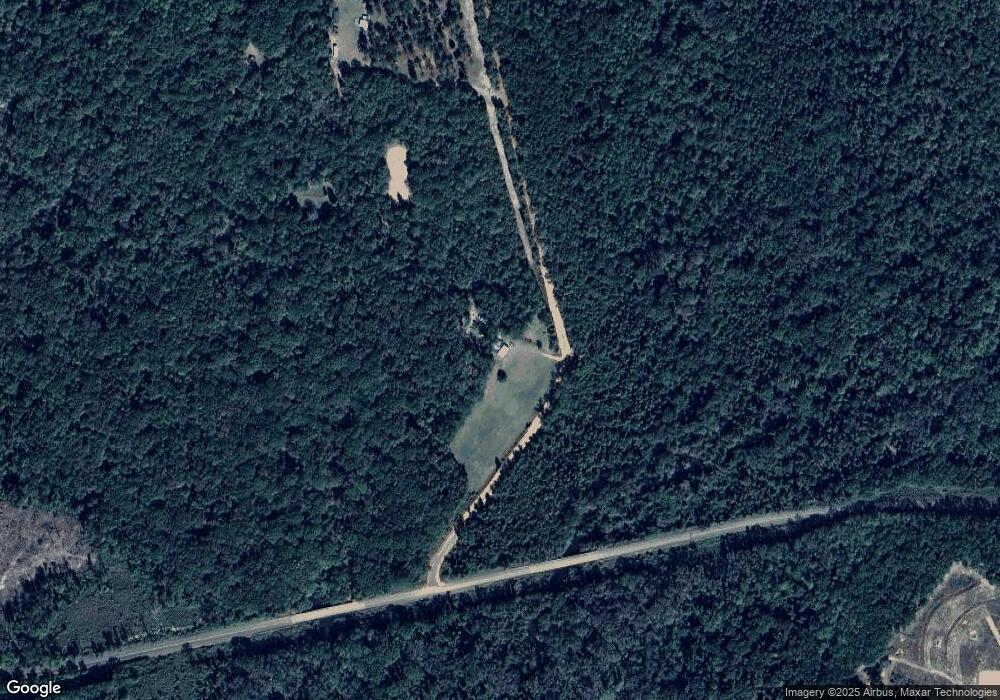
Map
Nearby Homes
- 4560 Graves Hwy
- 540 Veneys Mill Pond Rd
- 161 College St
- 48 Cheney St
- 149 Oak St SW
- 1472 Harrell Rd
- 0 Main St
- 173 E Main St
- 6 E Railroad St
- 109 Main St
- 318 Church St
- 6605 Pearl St
- 1853 Warner Rd
- 336 Metts Rd
- Pierce Rd
- 448 Henry Mitchell Dr NE
- 361/552 NW Tenth Ave
- 229 7th Ave NW
- 509 Orange St NE
- 2055 Payne Pond Rd