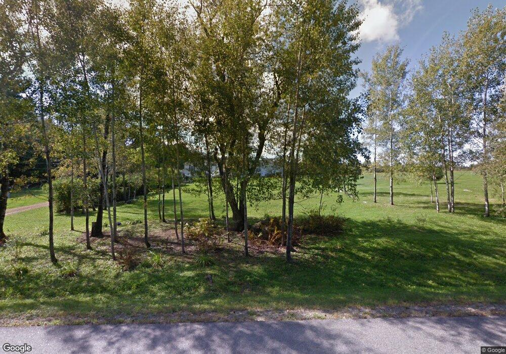
157 Pond Rd Mercer, ME 04957
Estimated Value: $208,599 - $344,000
--
Bed
--
Bath
--
Sq Ft
13.85
Acres
About This Home
This home is located at 157 Pond Rd, Mercer, ME 04957 and is currently estimated at $260,900. 157 Pond Rd is a home.
Ownership History
Date
Name
Owned For
Owner Type
Purchase Details
Closed on
Jul 31, 2024
Sold by
Langlais Dale H and Langlais Kathleen L
Bought by
Burton Kimberly A and Langlais Daniel H
Current Estimated Value
Purchase Details
Closed on
Sep 20, 2019
Sold by
Langlais David S
Bought by
Langlais Dale H and Langlais Kathleen L
Purchase Details
Closed on
Jun 18, 2014
Sold by
Cowing Wayne B
Bought by
Langlais Dale H and Langlais Kathleen L
Purchase Details
Closed on
Sep 19, 2007
Sold by
Plourde Joseph D and Plourde Dorothy M
Bought by
Langlais Dale H and Langlais Kathleen L
Create a Home Valuation Report for This Property
The Home Valuation Report is an in-depth analysis detailing your home's value as well as a comparison with similar homes in the area
Home Values in the Area
Average Home Value in this Area
Purchase History
| Date | Buyer | Sale Price | Title Company |
|---|---|---|---|
| Burton Kimberly A | -- | None Available | |
| Burton Kimberly A | -- | None Available | |
| Burton Kimberly A | -- | None Available | |
| Langlais Dale H | -- | -- | |
| Langlais Dale H | -- | -- | |
| Langlais Dale H | -- | -- | |
| Langlais Dale H | -- | -- | |
| Langlais Dale H | -- | -- | |
| Langlais Dale H | -- | -- | |
| Langlais Dale H | -- | -- |
Source: Public Records
Tax History Compared to Growth
Tax History
| Year | Tax Paid | Tax Assessment Tax Assessment Total Assessment is a certain percentage of the fair market value that is determined by local assessors to be the total taxable value of land and additions on the property. | Land | Improvement |
|---|---|---|---|---|
| 2024 | $1,968 | $187,400 | $77,300 | $110,100 |
| 2023 | $3,056 | $164,319 | $34,019 | $130,300 |
| 2022 | $2,892 | $164,319 | $34,019 | $130,300 |
| 2021 | $2,892 | $164,319 | $34,019 | $130,300 |
| 2020 | $2,837 | $161,181 | $32,519 | $128,662 |
| 2019 | $2,718 | $157,081 | $32,519 | $124,562 |
| 2018 | $2,576 | $157,081 | $32,519 | $124,562 |
| 2017 | $2,512 | $157,081 | $32,519 | $124,562 |
| 2016 | $2,505 | $157,081 | $32,519 | $124,562 |
Source: Public Records
Map
Nearby Homes
- 10 Trista Ln
- 6 Lufkin Ln
- Lot 2 Oak Hill Rd
- Lot 1 Oak Hill Rd
- 39 Lake View Dr
- 29 Ladd Rd
- 96 Oak Hill Rd
- M18L13 Mercer Rd
- 165 Meadow Ln
- 177 Meadow Ln
- 600 Village Rd
- Lot 12-4 Mcnulty Ln
- M10/18-7 Brown Rd
- 00 U S Highway 2
- 257 Rome Rd
- 17 Claude Brewer Rd
- 204 Rome Rd
- 125 N Pond Rd
- 20 Nickerson Ln
- 324 Village Rd
- 129 Pond Rd
- 135 Pond Rd
- lot 4 Island View Ln
- 0 Island View Ln Unit 982429
- 0 Island View Ln Unit 1025086
- 0 Island View Ln Unit 1048315
- 0 Island View Ln Unit 1130619
- 5 Island View Ln
- 15 Island View Ln
- 19 Island View Ln
- 23 Island View Ln
- 127 Pond Rd
- 2 Waynes Loop
- 2 Waynes Loop
- 2 Wayne's Loop
- 6 Wayne's Loop
- 10 Waynes Loop
- 10 Brookside Ln
- 2294 Pond Rd
- 99 Pond Rd