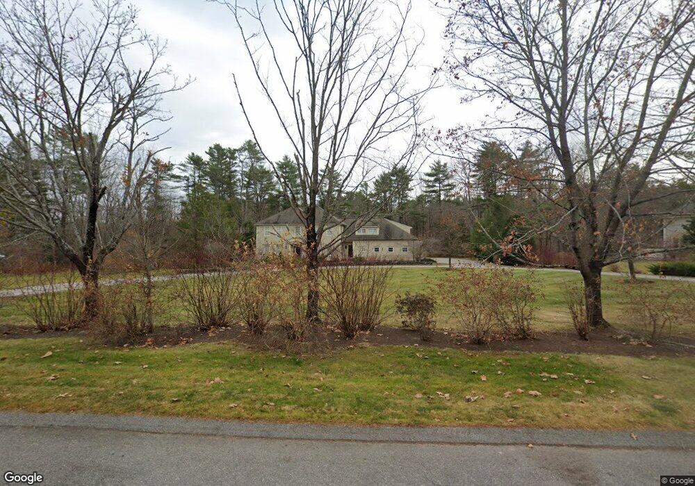
157 Royall Point Rd Yarmouth, ME 04096
Estimated Value: $1,727,360 - $2,175,000
5
Beds
4
Baths
5,200
Sq Ft
$369/Sq Ft
Est. Value
About This Home
This home is located at 157 Royall Point Rd, Yarmouth, ME 04096 and is currently estimated at $1,917,840, approximately $368 per square foot. 157 Royall Point Rd is a home located in Cumberland County with nearby schools including William H. Rowe School, Yarmouth Elementary School, and Frank H. Harrison Middle School.
Ownership History
Date
Name
Owned For
Owner Type
Purchase Details
Closed on
Dec 4, 2007
Sold by
Kennedy Timothy P and Kennedy Kristin V
Bought by
Adams Julie A and Adams Joseph W
Current Estimated Value
Home Financials for this Owner
Home Financials are based on the most recent Mortgage that was taken out on this home.
Original Mortgage
$600,000
Outstanding Balance
$383,295
Interest Rate
6.48%
Mortgage Type
Purchase Money Mortgage
Estimated Equity
$1,534,545
Create a Home Valuation Report for This Property
The Home Valuation Report is an in-depth analysis detailing your home's value as well as a comparison with similar homes in the area
Home Values in the Area
Average Home Value in this Area
Purchase History
| Date | Buyer | Sale Price | Title Company |
|---|---|---|---|
| Adams Julie A | -- | -- |
Source: Public Records
Mortgage History
| Date | Status | Borrower | Loan Amount |
|---|---|---|---|
| Open | Adams Julie A | $600,000 |
Source: Public Records
Tax History Compared to Growth
Tax History
| Year | Tax Paid | Tax Assessment Tax Assessment Total Assessment is a certain percentage of the fair market value that is determined by local assessors to be the total taxable value of land and additions on the property. | Land | Improvement |
|---|---|---|---|---|
| 2024 | $22,045 | $858,800 | $290,200 | $568,600 |
| 2023 | $20,216 | $858,800 | $290,200 | $568,600 |
| 2022 | $18,567 | $858,800 | $290,200 | $568,600 |
| 2021 | $17,004 | $858,800 | $290,200 | $568,600 |
| 2020 | $8,912 | $858,800 | $290,200 | $568,600 |
| 2019 | $2,063 | $858,800 | $290,200 | $568,600 |
| 2018 | $15,287 | $858,800 | $290,200 | $568,600 |
| 2017 | $14,737 | $858,800 | $290,200 | $568,600 |
| 2016 | $14,651 | $858,800 | $290,200 | $568,600 |
| 2015 | $13,098 | $607,500 | $197,900 | $409,600 |
| 2014 | $13,122 | $607,500 | $197,900 | $409,600 |
| 2013 | $13,365 | $607,500 | $0 | $0 |
Source: Public Records
Map
Nearby Homes
- 6 Daybreak Ln Unit 18
- 24 Daybreak Ln
- 20 Blueberry Cove Rd Unit 20
- 52 Blueberry Cove Rd Unit 52
- 62 Blueberry Cove Rd Unit 62
- 24 Mast Ln
- 51 Meeting House Farms Rd
- 86 Pleasant St
- 51 Pleasant St
- 149 E Main St Unit 7
- 0 Bayview St
- 70 Main St
- 393 E Main St
- 203 Bluff Rd Unit 13
- 24 York Ledge Dr
- 51 Oakland Ave
- 1 Railroad Square Unit Townhome C
- 1 Railroad Square Unit 103
- 1 Railroad Square Unit 205
- 1 Railroad Square Unit 305
- 143 Royall Point Rd
- 0 Wesleys Way Unit 1461790
- 175 Royall Point Rd
- 253 Royall Point Rd
- 156 Royall Point Rd
- 123 Royall Point Rd
- 6 Pittee Creek Way
- 142 Royall Point Rd
- 186 Royall Point Rd
- 205 Royall Point Rd
- 111 Royall Point Rd
- 175 Highlands Farm Rd
- 124 Royall Point Rd
- 114 Royall Point Rd
- 243 Royall Point Rd
- Lot 1 Royall Point Rd
- 32 Small Pond Rd
- 89 Royall Point Rd
- 26 Small Pond Rd
- 70 Royall Point Rd