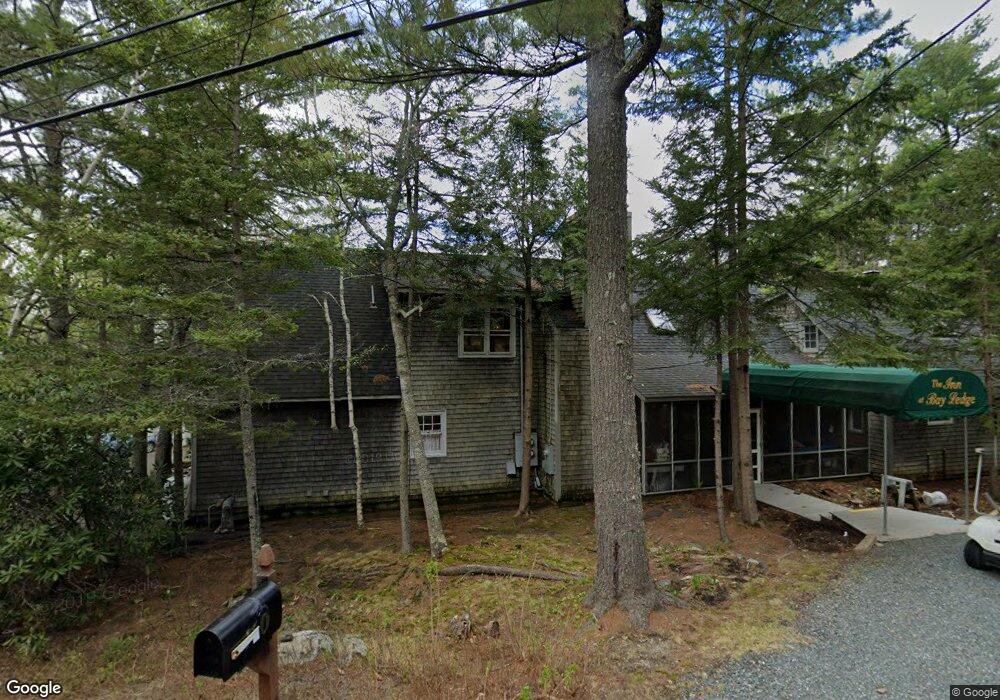
157 Sand Point Rd Bar Harbor, ME 04609
Estimated Value: $2,182,247
--
Bed
--
Bath
6,369
Sq Ft
$343/Sq Ft
Est. Value
About This Home
This home is located at 157 Sand Point Rd, Bar Harbor, ME 04609 and is currently estimated at $2,182,247, approximately $342 per square foot. 157 Sand Point Rd is a home located in Hancock County with nearby schools including Conners-Emerson School and Mt. Desert Island High School.
Ownership History
Date
Name
Owned For
Owner Type
Purchase Details
Closed on
Oct 4, 2022
Sold by
Ochtera John W and Ochtera Jean F
Bought by
Coffee & Wine Hospitality
Current Estimated Value
Home Financials for this Owner
Home Financials are based on the most recent Mortgage that was taken out on this home.
Original Mortgage
$50,000
Outstanding Balance
$47,818
Interest Rate
5.55%
Mortgage Type
Purchase Money Mortgage
Estimated Equity
$2,134,429
Create a Home Valuation Report for This Property
The Home Valuation Report is an in-depth analysis detailing your home's value as well as a comparison with similar homes in the area
Home Values in the Area
Average Home Value in this Area
Purchase History
| Date | Buyer | Sale Price | Title Company |
|---|---|---|---|
| Coffee & Wine Hospitality | $1,850,000 | None Available |
Source: Public Records
Mortgage History
| Date | Status | Borrower | Loan Amount |
|---|---|---|---|
| Open | Coffee & Wine Hospitality | $50,000 |
Source: Public Records
Tax History Compared to Growth
Tax History
| Year | Tax Paid | Tax Assessment Tax Assessment Total Assessment is a certain percentage of the fair market value that is determined by local assessors to be the total taxable value of land and additions on the property. | Land | Improvement |
|---|---|---|---|---|
| 2024 | $15,357 | $1,529,600 | $611,600 | $918,000 |
| 2023 | $13,279 | $1,529,800 | $611,800 | $918,000 |
| 2022 | $12,063 | $1,294,300 | $517,600 | $776,700 |
| 2021 | $11,461 | $1,176,700 | $470,600 | $706,100 |
| 2020 | $12,434 | $1,044,900 | $443,200 | $601,700 |
| 2019 | $914 | $1,034,600 | $438,800 | $595,800 |
| 2018 | $11,960 | $1,034,600 | $438,800 | $595,800 |
| 2017 | $11,339 | $1,034,600 | $438,800 | $595,800 |
| 2016 | $941 | $1,034,600 | $438,800 | $595,800 |
| 2015 | $10,956 | $1,034,600 | $438,800 | $595,800 |
| 2014 | $10,574 | $1,034,600 | $438,800 | $595,800 |
| 2012 | $10,180 | $1,034,600 | $438,800 | $595,800 |
Source: Public Records
Map
Nearby Homes
- 102 Degregoire Park Unit 2
- 55 Owls Nest Ln
- 9 Byrnes Rd
- 118 Old Bar Harbor Rd
- 791 Lamoine Beach Rd
- 782 Lamoine Beach Rd
- 2 Lookout Point Rd
- 18 Hamor Ln
- 10 Harbor Lights Rd
- Lot #10 North Rd
- 694 Lamoine Beach Rd
- 71 Bay View Dr
- Lot 001 Crooked Rd
- 11 Ocean Bridge Blvd
- 28 Winding Brook Rd
- M1 L81-11 Asa's Ln
- M1 L81-11 Asa's Ln
- 29 Equity Ln
- 34 Frenchmans Hill E
- Lot 4 Belle Grande Dr
- 151 Sand Point Rd
- 167 Sand Point Rd
- 150 Sand Point Rd
- 150&157 Sand Point Rd
- 150 Sand Point Rd
- 150 Sand Point Rd
- 172 Sand Point Rd
- 145 Sand Point Rd
- 173 Sand Point Rd
- 135 Sand Point Rd
- 184 Sand Point Rd
- 144 Sand Point Rd
- 129 Sand Point Rd
- 175 Sand Point Rd
- 134 Sand Point Rd
- 11 Ovens Ln
- 181 Sand Point Rd
- 0 Sand Point Rd
- 195 Sand Point Rd
- 192 Sand Point Rd