157 Shadow Lake Dr Divide, CO 80814
Estimated Value: $372,239 - $476,000
3
Beds
1
Bath
1,260
Sq Ft
$338/Sq Ft
Est. Value
About This Home
This home is located at 157 Shadow Lake Dr, Divide, CO 80814 and is currently estimated at $425,310, approximately $337 per square foot. 157 Shadow Lake Dr is a home located in Teller County with nearby schools including Woodland Park Junior/Senior High School and Merit Academy.
Ownership History
Date
Name
Owned For
Owner Type
Purchase Details
Closed on
Dec 20, 2016
Sold by
Thompson Peggy Lynn
Bought by
Aanestad Linda S and Aanestad David C
Current Estimated Value
Purchase Details
Closed on
Nov 29, 2016
Sold by
Schoenberger David B and Schoenberger Erika L
Bought by
Aanestad Linda S and Aanestad Avid C
Purchase Details
Closed on
Jul 25, 2013
Sold by
Aanestad Linda S and Nicks Linda S
Bought by
Aanestad Linda S and Aanestad David C
Purchase Details
Closed on
Jan 4, 2006
Sold by
Thompson Peggy Lynn
Bought by
Nicks Linda S
Home Financials for this Owner
Home Financials are based on the most recent Mortgage that was taken out on this home.
Original Mortgage
$168,150
Interest Rate
6.23%
Mortgage Type
New Conventional
Create a Home Valuation Report for This Property
The Home Valuation Report is an in-depth analysis detailing your home's value as well as a comparison with similar homes in the area
Home Values in the Area
Average Home Value in this Area
Purchase History
| Date | Buyer | Sale Price | Title Company |
|---|---|---|---|
| Aanestad Linda S | $30,000 | None Available | |
| Aanestad Linda S | -- | None Available | |
| Aanestad Linda S | -- | Fidelity National Title Ins | |
| Nicks Linda S | $177,000 | Security Title |
Source: Public Records
Mortgage History
| Date | Status | Borrower | Loan Amount |
|---|---|---|---|
| Previous Owner | Nicks Linda S | $168,150 |
Source: Public Records
Tax History Compared to Growth
Tax History
| Year | Tax Paid | Tax Assessment Tax Assessment Total Assessment is a certain percentage of the fair market value that is determined by local assessors to be the total taxable value of land and additions on the property. | Land | Improvement |
|---|---|---|---|---|
| 2024 | $879 | $14,140 | $1,449 | $12,691 |
| 2023 | $879 | $14,140 | $1,450 | $12,690 |
| 2022 | $1,043 | $18,600 | $1,670 | $16,930 |
| 2021 | $1,074 | $19,130 | $1,720 | $17,410 |
| 2020 | $875 | $15,910 | $1,720 | $14,190 |
| 2019 | $864 | $15,910 | $0 | $0 |
| 2018 | $750 | $13,390 | $0 | $0 |
| 2017 | $752 | $13,390 | $0 | $0 |
| 2016 | $584 | $10,360 | $0 | $0 |
| 2015 | $656 | $10,360 | $0 | $0 |
| 2014 | $700 | $10,910 | $0 | $0 |
Source: Public Records
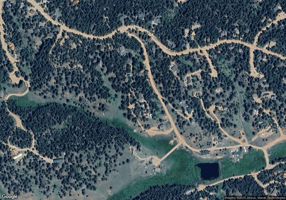
Map
Nearby Homes
- 97 Shadow Lake Dr
- 566 Spring Valley Dr
- 860 Spring Valley Dr Unit 13
- 0 Spring Valley Dr
- 356 Spring Valley Dr
- 209 Kenosha Cir
- 57 Aspen Cir
- 277 Aspen Cir
- 810 Ridge Rd
- 377 Ridge Rd
- 413 Lake Dr W
- 702 Lake Dr
- 112 Blue Jay Ln
- 112 Blue Jay Ln
- 56 Blue Jay Ln
- 85 Remwood Cir
- 47 Aspen Rd
- 56 Daisy St
- 6500 Cr 5 Rd
- 358 Fern Rd
- 257 Shadow Lake Dr
- 257 Shadow Lake Dr Unit 5
- 616 Spring Valley Dr
- 61 Navajo Cir
- 238 Shadow Lake Dr
- 65 Shadow Lake Dr
- 478 Spring Valley Dr
- 76 Navajo Cir
- 45 Valley Cir
- 93 Valley Cir
- 630 Spring Valley Dr
- 460 Spring Valley Dr
- 629 Spring Valley Dr
- 69 Valley Cir
- 353 Shadow Lake Dr
- 68 Cherokee Cir
- 354 Shadow Lake Dr
- 599 Spring Valley Dr
- 565 Spring Valley Dr
- 24 Valley Cir