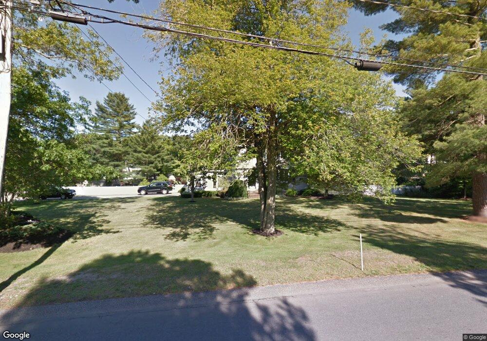
157 Silver St Hanover, MA 02339
Estimated Value: $693,000 - $811,000
4
Beds
2
Baths
1,644
Sq Ft
$456/Sq Ft
Est. Value
About This Home
This home is located at 157 Silver St, Hanover, MA 02339 and is currently estimated at $749,187, approximately $455 per square foot. 157 Silver St is a home located in Plymouth County with nearby schools including Hanover High School, Cadence Academy Preschool - Hanover, and The Master's Academy.
Ownership History
Date
Name
Owned For
Owner Type
Purchase Details
Closed on
Oct 18, 1990
Sold by
Draheim George P
Bought by
Blanchard Jeffrey R
Current Estimated Value
Create a Home Valuation Report for This Property
The Home Valuation Report is an in-depth analysis detailing your home's value as well as a comparison with similar homes in the area
Home Values in the Area
Average Home Value in this Area
Purchase History
| Date | Buyer | Sale Price | Title Company |
|---|---|---|---|
| Blanchard Jeffrey R | $155,000 | -- |
Source: Public Records
Mortgage History
| Date | Status | Borrower | Loan Amount |
|---|---|---|---|
| Open | Blanchard Jeffrey R | $328,000 |
Source: Public Records
Tax History
| Year | Tax Paid | Tax Assessment Tax Assessment Total Assessment is a certain percentage of the fair market value that is determined by local assessors to be the total taxable value of land and additions on the property. | Land | Improvement |
|---|---|---|---|---|
| 2025 | $8,129 | $658,200 | $269,600 | $388,600 |
| 2024 | $6,473 | $504,100 | $245,100 | $259,000 |
| 2023 | $6,800 | $504,100 | $245,100 | $259,000 |
| 2022 | $7,688 | $504,100 | $245,100 | $259,000 |
| 2021 | $6,146 | $462,800 | $222,800 | $240,000 |
| 2020 | $5,317 | $452,200 | $222,800 | $229,400 |
| 2019 | $7,179 | $437,500 | $222,800 | $214,700 |
| 2018 | $6,564 | $403,200 | $222,800 | $180,400 |
| 2015 | $5,851 | $362,300 | $191,000 | $171,300 |
Source: Public Records
Map
Nearby Homes
- 62 Larchmont Ln
- 68 East St
- 36 Grove St
- 250 Center St
- 506 Main St
- 51 Cervelli Farm Dr
- 37 Dr
- 23 Cervelli Farm Dr
- 38 Cervelli Farm Dr
- 9 Cervelli Farm Dr
- 35 Sproul Rd
- 70 Bardin St
- 53 Chestnut St
- 114 Graham Hill Dr
- 776 Main St
- 44 Stone Meadow Ln
- 47 Stone Meadow Ln
- 26 Church St
- 95 Tecumseh Dr
- 561 Circuit St
Your Personal Tour Guide
Ask me questions while you tour the home.