Estimated Value: $662,000 - $1,122,000
7
Beds
6
Baths
3,773
Sq Ft
$217/Sq Ft
Est. Value
About This Home
This home is located at 157 Stonecrest Path, Hiram, GA 30141 and is currently estimated at $819,781, approximately $217 per square foot. 157 Stonecrest Path is a home located in Paulding County with nearby schools including Sam D. Panter Elementary School, J. A. Dobbins Middle School, and Hiram High School.
Ownership History
Date
Name
Owned For
Owner Type
Purchase Details
Closed on
Nov 10, 2006
Sold by
Zumwalt Kenneth W
Bought by
Zumwalt Kenneth W and Zumwalt Clarissa S
Current Estimated Value
Home Financials for this Owner
Home Financials are based on the most recent Mortgage that was taken out on this home.
Original Mortgage
$480,000
Interest Rate
6.1%
Mortgage Type
New Conventional
Purchase Details
Closed on
Mar 26, 2004
Sold by
Gonzalez Rafael
Purchase Details
Closed on
Jun 18, 2000
Sold by
Jape Tony
Purchase Details
Closed on
Jun 17, 2000
Sold by
Jape Tony
Purchase Details
Closed on
Jun 16, 2000
Sold by
Mcmichen David
Create a Home Valuation Report for This Property
The Home Valuation Report is an in-depth analysis detailing your home's value as well as a comparison with similar homes in the area
Home Values in the Area
Average Home Value in this Area
Purchase History
| Date | Buyer | Sale Price | Title Company |
|---|---|---|---|
| Zumwalt Kenneth W | -- | -- | |
| Zumwalt Kenneth W | $600,000 | -- | |
| -- | -- | -- | |
| -- | -- | -- | |
| -- | $250,000 | -- | |
| -- | -- | -- |
Source: Public Records
Mortgage History
| Date | Status | Borrower | Loan Amount |
|---|---|---|---|
| Previous Owner | Zumwalt Kenneth W | $480,000 |
Source: Public Records
Tax History
| Year | Tax Paid | Tax Assessment Tax Assessment Total Assessment is a certain percentage of the fair market value that is determined by local assessors to be the total taxable value of land and additions on the property. | Land | Improvement |
|---|---|---|---|---|
| 2025 | $7,662 | $312,760 | $55,960 | $256,800 |
| 2024 | $7,562 | $307,240 | $55,960 | $251,280 |
| 2023 | $7,632 | $295,280 | $54,560 | $240,720 |
| 2022 | $703 | $266,880 | $42,040 | $224,840 |
| 2021 | $624 | $205,320 | $32,920 | $172,400 |
| 2020 | $610 | $188,760 | $31,080 | $157,680 |
| 2019 | $611 | $171,440 | $32,920 | $138,520 |
| 2018 | $5,579 | $187,040 | $27,960 | $159,080 |
| 2017 | $585 | $169,440 | $26,760 | $142,680 |
| 2016 | $532 | $147,360 | $26,760 | $120,600 |
| 2015 | $4,217 | $138,880 | $26,280 | $112,600 |
| 2014 | $3,958 | $127,240 | $24,120 | $103,120 |
| 2013 | -- | $123,520 | $26,520 | $97,000 |
Source: Public Records
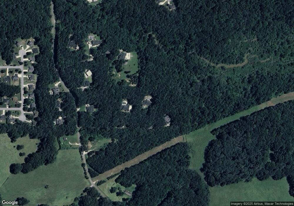
Map
Nearby Homes
- 59 Creekside Bluff
- 6 Creekside Bluff
- 44 Creekside Way
- 19 Creekside View
- 14 Riverstone Dr
- 280 Glenn Eagles Way
- 4970 Nebo Rd
- 178 Hunters Mill Dr
- 5295 Ridge Rd
- 88 Glenn Eagles Way
- 3061 Dallas Nebo Rd
- 58 Glenn Eagles Way
- 215 Country Club Dr
- 35 Oakmont Pass
- 213 John Barber Rd
- Wyatt Plan at Savannah Lakes - Lochmoor at Savannah Lakes
- Blair Plan at Savannah Lakes - Lochmoor at Savannah Lakes
- Camden Plan at Savannah Lakes - Designer Collection
- Emmett Plan at Savannah Lakes - Lochmoor at Savannah Lakes
- Ivy Plan at Savannah Lakes - Designer Collection
- 165 Stonecrest Path
- 97 Stonecrest Path
- 633 Mill Creek Rd
- 123 Creekstone Path
- 123 Stonecrest Path
- 727 Mill Creek Rd
- 591 Mill Creek Rd
- 81 Creek Stone Path
- 630 Mill Creek Rd
- 650 Mill Creek Rd
- 859 Mill Creek Rd
- 564 Mill Creek Rd
- 45 Creekstone Path
- 108 Woodsfield Ln
- 111 Woodsfield Ln
- 40 Woodsfield Ln
- 796 Mill Creek Rd
- 159 Creekside Bluff Unit 2
- 109 Creekside Bluff Unit 370
- 109 Creekside Bluff