157 Stumptown Loop Whitefish, MT 59937
Estimated Value: $793,000 - $932,000
3
Beds
3
Baths
2,013
Sq Ft
$412/Sq Ft
Est. Value
About This Home
This home is located at 157 Stumptown Loop, Whitefish, MT 59937 and is currently estimated at $829,344, approximately $411 per square foot. 157 Stumptown Loop is a home located in Flathead County with nearby schools including L.A. Muldown School, Whitefish Middle School, and Whitefish High School.
Ownership History
Date
Name
Owned For
Owner Type
Purchase Details
Closed on
Jun 12, 2018
Sold by
Farrans Properties Llc
Bought by
Turner Kelsey Marie
Current Estimated Value
Home Financials for this Owner
Home Financials are based on the most recent Mortgage that was taken out on this home.
Original Mortgage
$280,000
Outstanding Balance
$205,950
Interest Rate
4.5%
Mortgage Type
New Conventional
Estimated Equity
$623,394
Purchase Details
Closed on
Oct 7, 2010
Sold by
Whitefish Enterprises Llc
Bought by
Farrens Properties Llc
Create a Home Valuation Report for This Property
The Home Valuation Report is an in-depth analysis detailing your home's value as well as a comparison with similar homes in the area
Home Values in the Area
Average Home Value in this Area
Purchase History
| Date | Buyer | Sale Price | Title Company |
|---|---|---|---|
| Turner Kelsey Marie | -- | Fidelity National Title | |
| Farrens Properties Llc | -- | Sterling Title Services Inc |
Source: Public Records
Mortgage History
| Date | Status | Borrower | Loan Amount |
|---|---|---|---|
| Open | Turner Kelsey Marie | $280,000 |
Source: Public Records
Tax History
| Year | Tax Paid | Tax Assessment Tax Assessment Total Assessment is a certain percentage of the fair market value that is determined by local assessors to be the total taxable value of land and additions on the property. | Land | Improvement |
|---|---|---|---|---|
| 2025 | $2,875 | $810,900 | $0 | $0 |
| 2024 | $2,779 | $554,000 | $0 | $0 |
| 2023 | $3,080 | $554,000 | $0 | $0 |
| 2022 | $2,870 | $401,900 | $0 | $0 |
| 2021 | $3,325 | $401,900 | $0 | $0 |
| 2020 | $3,186 | $360,100 | $0 | $0 |
| 2019 | $3,414 | $360,100 | $0 | $0 |
| 2018 | $3,265 | $343,100 | $0 | $0 |
| 2017 | $3,033 | $343,100 | $0 | $0 |
| 2016 | $2,774 | $38,372 | $0 | $0 |
| 2015 | $481 | $38,372 | $0 | $0 |
| 2014 | $935 | $56,114 | $0 | $0 |
Source: Public Records
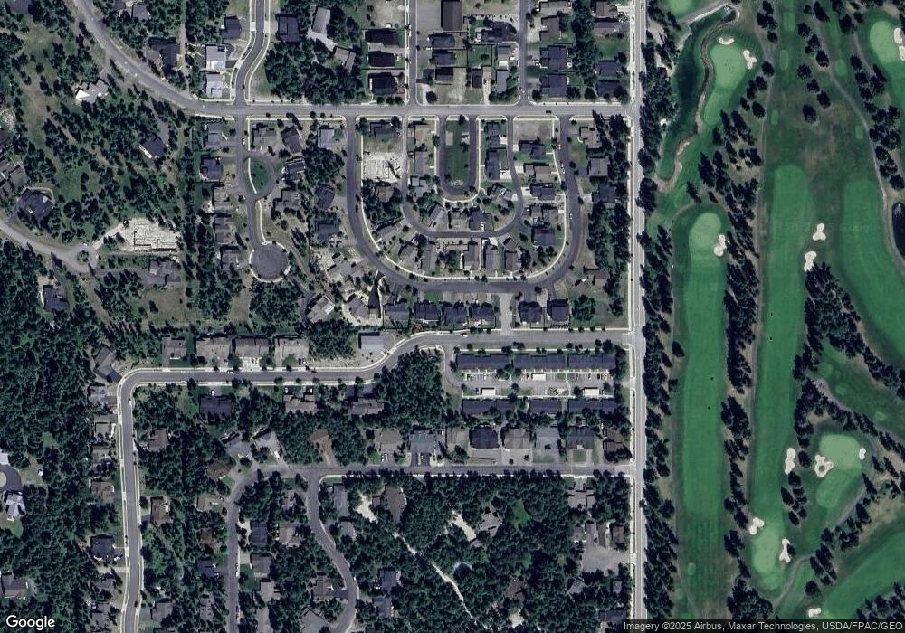
Map
Nearby Homes
- 1038 Mountain Park Dr Unit B
- 717 Icehouse Rd
- 270 Lake Park Ln
- 850 State Park Rd
- 271 Lake Park Ln
- 205 Fox Hollow Ln
- NHN 1A Masters Ct
- 1130 Birch Point Dr Unit B
- 235 Fox Hollow Ln
- 442 Highline Ct
- 713 2nd St W
- 111 Murray Ave
- 309 Fairway Dr
- 307 & 309 Fairway Dr
- 95 Karrow Ave
- 514 2nd St W
- 438 2nd St W
- 451 and 459 Karrow Ave
- 104 Idaho Ave
- 424 2nd St W
- 157 Stumptown Loop
- 155 Stumptown Loop
- 155 Stumptown Loop
- 151 Stumptown Loop
- Lot 31 Stumptown Loop
- 135 137 Stumptown Loop
- 163 & 165 Stumptown Loop
- 149 & 151 Stumptown Loop
- 155 & 157 Stumptown Loop
- 160 Stumptown Loop
- 149 Stumptown Loop
- 165 Stumptown Loop
- 154 Stumptown Loop
- 171 Stumptown Loop
- Nhn Stumptown Loop
- 166 Stumptown Loop
- 148 Stumptown Loop
- 141 Stumptown Loop
- 172 Stumptown Loop
- 142 Stumptown Loop
Your Personal Tour Guide
Ask me questions while you tour the home.