Estimated Value: $512,018 - $567,000
3
Beds
2
Baths
2,241
Sq Ft
$243/Sq Ft
Est. Value
About This Home
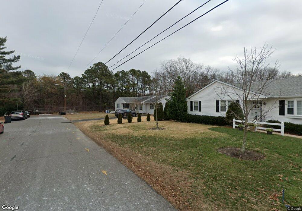
This home is located at 157 Taylor Blvd, Brick, NJ 08724 and is currently estimated at $543,755, approximately $242 per square foot. 157 Taylor Blvd is a home located in Ocean County with nearby schools including Midstreams Elementary School, Veterans Memorial Middle School, and Brick Township Memorial High School.
Ownership History
Date
Name
Owned For
Owner Type
Purchase Details
Closed on
Apr 8, 2010
Sold by
Rivera Anthony V and Pablo Rivera Lettie A
Bought by
Feng Yi Mei
Current Estimated Value
Home Financials for this Owner
Home Financials are based on the most recent Mortgage that was taken out on this home.
Original Mortgage
$171,500
Interest Rate
4.99%
Mortgage Type
New Conventional
Purchase Details
Closed on
Jun 9, 2004
Sold by
Thompson Carolyn A
Bought by
Pablo Lettie
Home Financials for this Owner
Home Financials are based on the most recent Mortgage that was taken out on this home.
Original Mortgage
$27,200
Interest Rate
6.3%
Mortgage Type
Credit Line Revolving
Create a Home Valuation Report for This Property
The Home Valuation Report is an in-depth analysis detailing your home's value as well as a comparison with similar homes in the area
Home Values in the Area
Average Home Value in this Area
Purchase History
| Date | Buyer | Sale Price | Title Company |
|---|---|---|---|
| Feng Yi Mei | $245,000 | First American Title Ins Co | |
| Pablo Lettie | $272,000 | -- |
Source: Public Records
Mortgage History
| Date | Status | Borrower | Loan Amount |
|---|---|---|---|
| Closed | Feng Yi Mei | $171,500 | |
| Previous Owner | Pablo Lettie | $27,200 | |
| Previous Owner | Pablo Lettie | $217,600 |
Source: Public Records
Tax History Compared to Growth
Tax History
| Year | Tax Paid | Tax Assessment Tax Assessment Total Assessment is a certain percentage of the fair market value that is determined by local assessors to be the total taxable value of land and additions on the property. | Land | Improvement |
|---|---|---|---|---|
| 2025 | $6,541 | $250,600 | $144,000 | $106,600 |
| 2024 | $6,207 | $250,600 | $144,000 | $106,600 |
| 2023 | $6,117 | $250,600 | $144,000 | $106,600 |
| 2022 | $6,117 | $250,600 | $144,000 | $106,600 |
| 2021 | $5,588 | $250,600 | $144,000 | $106,600 |
| 2020 | $5,912 | $250,600 | $144,000 | $106,600 |
| 2019 | $5,806 | $250,600 | $144,000 | $106,600 |
| 2018 | $5,674 | $250,600 | $144,000 | $106,600 |
| 2017 | $5,521 | $250,600 | $144,000 | $106,600 |
| 2016 | $5,491 | $250,600 | $144,000 | $106,600 |
| 2015 | $5,348 | $250,600 | $144,000 | $106,600 |
| 2014 | $5,303 | $250,600 | $144,000 | $106,600 |
Source: Public Records
Map
Nearby Homes
- 141 Taylor Blvd
- 24 Mayapple Dr
- 17 Brant Dr
- 2 Brant Dr Unit Lot 5.01
- 65 Sleepy Hollow Dr
- 241 Old Squan Rd
- 103 Sleepy Hollow Dr
- 100 Sleepy Hollow Dr
- 17 Mallard Dr
- 16 Mallard Dr
- 27 Greenhill Dr
- 105 Midstreams Place
- 24 Laurelhurst Dr
- 16 Wayside Dr
- 80 Robbins Ct
- 279 Old Squan Rd
- 5 Fieldcrest Ln
- 106 Arrowhead Park Dr
- 123 Bruce St
- 203 Lorraine Place