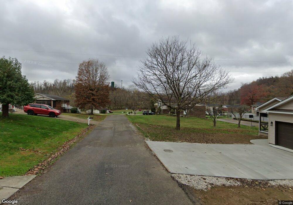
157 Top St Unit 346 South Point, OH 45680
Estimated Value: $165,000 - $175,925
3
Beds
1
Bath
1,104
Sq Ft
$154/Sq Ft
Est. Value
About This Home
This home is located at 157 Top St Unit 346, South Point, OH 45680 and is currently estimated at $169,481, approximately $153 per square foot. 157 Top St Unit 346 is a home located in Lawrence County with nearby schools including Chesapeake Elementary School, Chesapeake Middle School, and Chesapeake High School.
Ownership History
Date
Name
Owned For
Owner Type
Purchase Details
Closed on
Apr 28, 2021
Sold by
Carmichael Gloria
Bought by
Staton Amanda Denise
Current Estimated Value
Purchase Details
Closed on
Oct 18, 2012
Sold by
Staton Amanda D and Staton Carmichael C
Bought by
Staton Amanda D and Carmichael Gloria
Purchase Details
Closed on
Dec 16, 2009
Sold by
Hsbc Bank Usa
Bought by
Carmichael Gloria
Purchase Details
Closed on
Jul 1, 2009
Sold by
Pettit Vanessa G
Bought by
Hsbc Bank Usa
Purchase Details
Closed on
Jan 1, 1987
Bought by
Pettit Bob and Pettit Vanessa
Create a Home Valuation Report for This Property
The Home Valuation Report is an in-depth analysis detailing your home's value as well as a comparison with similar homes in the area
Home Values in the Area
Average Home Value in this Area
Purchase History
| Date | Buyer | Sale Price | Title Company |
|---|---|---|---|
| Staton Amanda Denise | -- | None Available | |
| Staton Amanda D | -- | -- | |
| Carmichael Gloria | $32,000 | Attorney | |
| Hsbc Bank Usa | $39,600 | None Available | |
| Pettit Bob | -- | -- |
Source: Public Records
Tax History Compared to Growth
Tax History
| Year | Tax Paid | Tax Assessment Tax Assessment Total Assessment is a certain percentage of the fair market value that is determined by local assessors to be the total taxable value of land and additions on the property. | Land | Improvement |
|---|---|---|---|---|
| 2024 | -- | $40,390 | $5,460 | $34,930 |
| 2023 | $1,157 | $40,390 | $5,460 | $34,930 |
| 2022 | $1,156 | $40,390 | $5,460 | $34,930 |
| 2021 | $1,128 | $37,750 | $5,180 | $32,570 |
| 2020 | $1,144 | $37,750 | $5,180 | $32,570 |
| 2019 | $1,142 | $37,750 | $5,180 | $32,570 |
| 2018 | $1,150 | $37,750 | $5,180 | $32,570 |
| 2017 | $1,150 | $37,750 | $5,180 | $32,570 |
| 2016 | $1,069 | $37,750 | $5,180 | $32,570 |
| 2015 | $828 | $28,920 | $4,940 | $23,980 |
| 2014 | $828 | $28,920 | $4,940 | $23,980 |
| 2013 | $828 | $28,920 | $4,940 | $23,980 |
Source: Public Records
Map
Nearby Homes
- 14 Township Road 1356
- 253 Township Road 1357
- 3493 County Road 31
- 3171 County Road 31
- 275 Township Road 118
- 101 Township Road 1119
- 66 Township Road 1523
- 135 Township Road 85 E
- 152 Township Road 1483
- 1666 County Road 31
- 181 Private Road 3954
- 983 County Road 104
- 647 Private Road 3952
- 6757 County Road 15
- 6897 County Road 15
- 6881 State Route 243
- 00 Township Road 219 N
- 81 Township Road 158
- 301 Township Road 158
- 142 Township Road 1156
- 157 Top St Unit 1425
- 157 Top St Unit 1195
- 172 Private Road 11129 Unit 346
- 172 Top St Unit 1357
- 172 Top St Unit 508
- 172 Top St Unit 1339
- 172 Top St Unit 1334
- 172 Top St Unit 1019
- 135 Private Road 11129 Unit 243
- 1345 Twp Rd
- 150 Top St Unit 1366
- 150 Top St Unit 1334
- 110 Navajo Trail
- 34 Township Road 1500
- 305 Township Road 1345
- 312 Township Road 1345
- 312 Township Road 1345
- 312 Township Road 1345
- 15 Township Road 1500
- 293 Township Road 1345