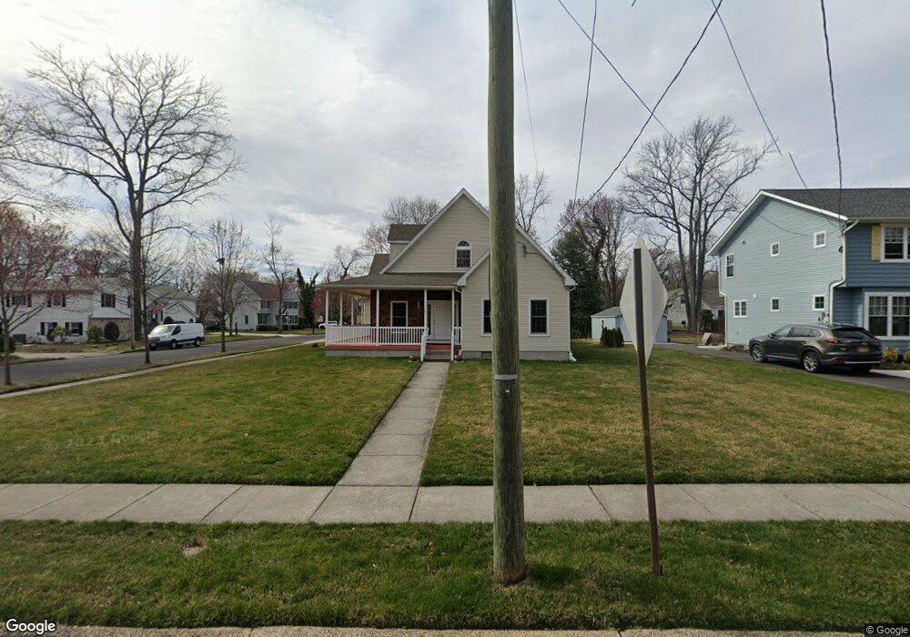
157 W Maple Ave Moorestown, NJ 08057
Estimated Value: $678,792 - $953,000
--
Bed
--
Bath
2,905
Sq Ft
$295/Sq Ft
Est. Value
About This Home
This home is located at 157 W Maple Ave, Moorestown, NJ 08057 and is currently estimated at $857,198, approximately $295 per square foot. 157 W Maple Ave is a home located in Burlington County with nearby schools including George C. Baker Elementary School, Moorestown Upper Elementary School, and William Allen Middle School.
Ownership History
Date
Name
Owned For
Owner Type
Purchase Details
Closed on
Dec 14, 2001
Sold by
Rhodes Esther R
Bought by
Hargrave Edward J and Hargrave Juanita L
Current Estimated Value
Create a Home Valuation Report for This Property
The Home Valuation Report is an in-depth analysis detailing your home's value as well as a comparison with similar homes in the area
Home Values in the Area
Average Home Value in this Area
Purchase History
| Date | Buyer | Sale Price | Title Company |
|---|---|---|---|
| Hargrave Edward J | -- | -- |
Source: Public Records
Tax History Compared to Growth
Tax History
| Year | Tax Paid | Tax Assessment Tax Assessment Total Assessment is a certain percentage of the fair market value that is determined by local assessors to be the total taxable value of land and additions on the property. | Land | Improvement |
|---|---|---|---|---|
| 2025 | $10,230 | $360,600 | $117,000 | $243,600 |
| 2024 | $9,920 | $360,600 | $117,000 | $243,600 |
| 2023 | $9,920 | $360,600 | $117,000 | $243,600 |
| 2022 | $9,819 | $360,600 | $117,000 | $243,600 |
| 2021 | $9,689 | $360,600 | $117,000 | $243,600 |
| 2020 | $9,628 | $360,600 | $117,000 | $243,600 |
| 2019 | $9,459 | $360,600 | $117,000 | $243,600 |
| 2018 | $9,203 | $360,600 | $117,000 | $243,600 |
| 2017 | $9,282 | $360,600 | $117,000 | $243,600 |
| 2016 | $9,249 | $360,600 | $117,000 | $243,600 |
| 2015 | $9,138 | $360,600 | $117,000 | $243,600 |
| 2014 | $9,119 | $379,000 | $117,000 | $262,000 |
Source: Public Records
Map
Nearby Homes
- 493 N Church St
- 543 Bethel Ave
- 420 Park Blvd
- 559 N Church St
- 316 Farmdale Rd
- 313 Fairview Ave
- 8 E Oak Ave
- 5 Collins Mill Ct
- 8 Collins Mill Ct
- 15 E 2nd St
- 129 S Church St
- 4 W Close
- 50 E 3rd St
- 10 E Close Unit 10EAST
- 80 E 3rd St
- 10 Longwood Ln
- 18 S Close Unit 18
- 1 Circle Dr
- 803 Fernwood Rd
- 133 Plum St Unit 6
- 153 W Maple Ave
- 149 W Maple Ave
- 161 W Maple Ave
- 148 Coleman Terrace
- 508 Bethel Ave
- 144 Coleman Terrace
- 145 W Maple Ave
- 140 Coleman Terrace
- 520 Bethel Ave
- 175 W Maple Ave
- 505 N Church St
- 511 N Church St
- 524 Bridge Ave
- 623 Bethel Ave
- 519 N Church St
- 491 N Church St
- 145 Coleman Terrace
- 521 N Church St
- 527 Bethel Ave
- 487 N Church St