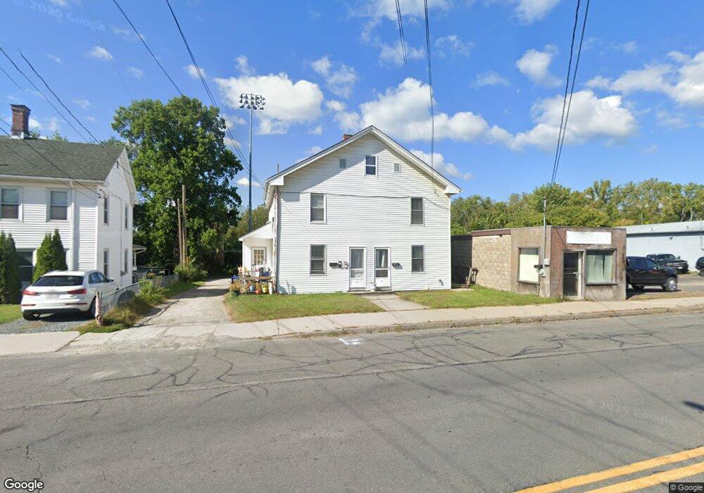
157 Wahconah St Pittsfield, MA 01201
--
Bed
--
Bath
--
Sq Ft
9,104
Sq Ft Lot
About This Home
This home is located at 157 Wahconah St, Pittsfield, MA 01201. 157 Wahconah St is a home located in Berkshire County with nearby schools including Silvio O. Conte Community School, John T. Reid Middle School, and Taconic High School.
Ownership History
Date
Name
Owned For
Owner Type
Purchase Details
Closed on
Jan 4, 2021
Sold by
Forster Ricarda
Bought by
Wasuk Michael and Wasuk Kimberly
Purchase Details
Closed on
Oct 6, 2020
Sold by
Hutchinson Richard L
Bought by
Hutchinson Richard L and Forster Ricarda
Purchase Details
Closed on
Jan 3, 1989
Sold by
Lund Winthrop O
Bought by
Hutchinson Richard L
Home Financials for this Owner
Home Financials are based on the most recent Mortgage that was taken out on this home.
Original Mortgage
$143,658
Interest Rate
10.26%
Mortgage Type
Commercial
Create a Home Valuation Report for This Property
The Home Valuation Report is an in-depth analysis detailing your home's value as well as a comparison with similar homes in the area
Home Values in the Area
Average Home Value in this Area
Purchase History
| Date | Buyer | Sale Price | Title Company |
|---|---|---|---|
| Wasuk Michael | $100,000 | None Available | |
| Hutchinson Richard L | -- | None Available | |
| Hutchinson Richard L | -- | None Available | |
| Hutchinson Richard L | -- | None Available | |
| Hutchinson Richard L | $153,658 | -- | |
| Hutchinson Richard L | $153,658 | -- |
Source: Public Records
Mortgage History
| Date | Status | Borrower | Loan Amount |
|---|---|---|---|
| Previous Owner | Hutchinson Richard L | $143,658 |
Source: Public Records
Tax History Compared to Growth
Tax History
| Year | Tax Paid | Tax Assessment Tax Assessment Total Assessment is a certain percentage of the fair market value that is determined by local assessors to be the total taxable value of land and additions on the property. | Land | Improvement |
|---|---|---|---|---|
| 2025 | -- | $223,800 | $27,500 | $196,300 |
| 2024 | -- | $178,500 | $27,500 | $151,000 |
| 2023 | $0 | $178,500 | $27,500 | $151,000 |
| 2022 | $0 | $170,000 | $24,100 | $145,900 |
| 2021 | $0 | $170,000 | $24,100 | $145,900 |
| 2020 | $4,117 | $170,000 | $24,100 | $145,900 |
| 2019 | $4,384 | $168,600 | $26,000 | $142,600 |
| 2018 | $3,981 | $168,600 | $26,000 | $142,600 |
| 2017 | -- | $159,600 | $27,500 | $132,100 |
| 2016 | -- | $159,700 | $27,500 | $132,200 |
| 2015 | -- | $159,700 | $27,500 | $132,200 |
Source: Public Records
Map
Nearby Homes
- 19 Richmond Ave
- 242 Wahconah St
- 74 Briggs Ave
- 252 Wahconah St
- 40 Pecks Rd
- 10 Stoddard Ave
- 61 Seymour St
- 26 Springside Ave
- 58 Seymour St
- 185 Lenox Ave
- 674 North St
- 9 Myrtle St
- 114 Danforth Ave
- 89 Pecks Rd
- 8 Mohegan St
- 68 Orchard St
- 0 Courtland Place
- 217 Francis Ave
- 33 Maplewood Ave Unit 305
- 33 Maplewood Ave Unit 103