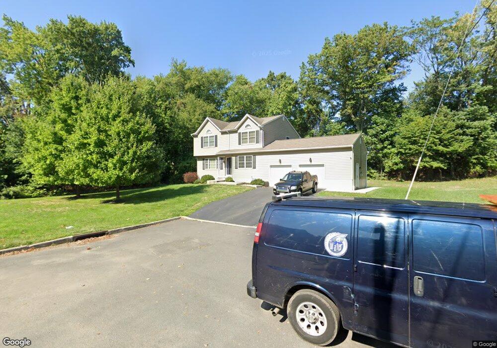
1570 13th St Ewing, NJ 08638
Prospect NeighborhoodEstimated Value: $425,000 - $531,000
4
Beds
3
Baths
2,088
Sq Ft
$231/Sq Ft
Est. Value
About This Home
This home is located at 1570 13th St, Ewing, NJ 08638 and is currently estimated at $482,814, approximately $231 per square foot. 1570 13th St is a home located in Mercer County with nearby schools including Ewing High School, Paul Robeson Charter School For The Humanities, and Trenton Stem-To-Civics Charter School.
Ownership History
Date
Name
Owned For
Owner Type
Purchase Details
Closed on
Aug 30, 2011
Sold by
Campbell Builders Inc
Bought by
Herring Leon W and Utley Herring Rhonda
Current Estimated Value
Home Financials for this Owner
Home Financials are based on the most recent Mortgage that was taken out on this home.
Original Mortgage
$230,000
Outstanding Balance
$162,197
Interest Rate
4.38%
Mortgage Type
New Conventional
Estimated Equity
$320,617
Create a Home Valuation Report for This Property
The Home Valuation Report is an in-depth analysis detailing your home's value as well as a comparison with similar homes in the area
Home Values in the Area
Average Home Value in this Area
Purchase History
| Date | Buyer | Sale Price | Title Company |
|---|---|---|---|
| Herring Leon W | $95,000 | General Abstract & Title Age |
Source: Public Records
Mortgage History
| Date | Status | Borrower | Loan Amount |
|---|---|---|---|
| Open | Herring Leon W | $230,000 | |
| Closed | Herring Leon W | $230,000 |
Source: Public Records
Tax History Compared to Growth
Tax History
| Year | Tax Paid | Tax Assessment Tax Assessment Total Assessment is a certain percentage of the fair market value that is determined by local assessors to be the total taxable value of land and additions on the property. | Land | Improvement |
|---|---|---|---|---|
| 2025 | $9,317 | $236,900 | $65,300 | $171,600 |
| 2024 | $8,758 | $236,900 | $65,300 | $171,600 |
| 2023 | $8,758 | $236,900 | $65,300 | $171,600 |
| 2022 | $8,521 | $236,900 | $65,300 | $171,600 |
| 2021 | $8,313 | $236,900 | $65,300 | $171,600 |
| 2020 | $8,194 | $236,900 | $65,300 | $171,600 |
| 2019 | $7,981 | $236,900 | $65,300 | $171,600 |
| 2018 | $8,124 | $153,800 | $38,100 | $115,700 |
| 2017 | $8,313 | $153,800 | $38,100 | $115,700 |
| 2016 | $8,201 | $153,800 | $38,100 | $115,700 |
| 2015 | $8,091 | $153,800 | $38,100 | $115,700 |
| 2014 | $8,070 | $153,800 | $38,100 | $115,700 |
Source: Public Records
Map
Nearby Homes
- 1635 Ninth St
- 50 Hillman Ave
- 91 Groveland Ave
- 9 Auburn Ave
- 37 Hazelhurst Ave
- 2305 Columbia Ave
- 6 New Hillcrest Ave
- 14 Chesney Ave
- 50 Groveland Ave
- 260 Weber Ave
- 221 Hazelhurst Ave
- 1729 5th St
- 7 Pershing Ave
- 107 Hawthorne Ave
- 257 Homecrest Ave
- 137 Ardsley Ave
- 1583 Pennington Rd
- 4 Bittersweet Rd
- 166 Clover Ave
- 41 Poland St
- 1580 13th St
- 1575 13th St
- 1569 12th St
- 1563 12th St
- 1590 13th St
- 1575 12th St
- 1598 13th St
- 1597 12th St
- 1450 Parkside Ave Unit 3A
- 1450 Parkside Ave Unit 23C
- 1450 Parkside Ave Unit 8C
- 1450 Parkside Ave Unit 7C
- 1450 Parkside Ave Unit 1
- 1450 Parkside Ave Unit 25
- 1450 Parkside Ave Unit 2
- 1450 Parkside Ave Unit 13
- 1450 Parkside Ave Unit 9
- 1450 Parkside Ave Unit 8
- 1450 Parkside Ave Unit 7
- 1450 Parkside Ave Unit 6