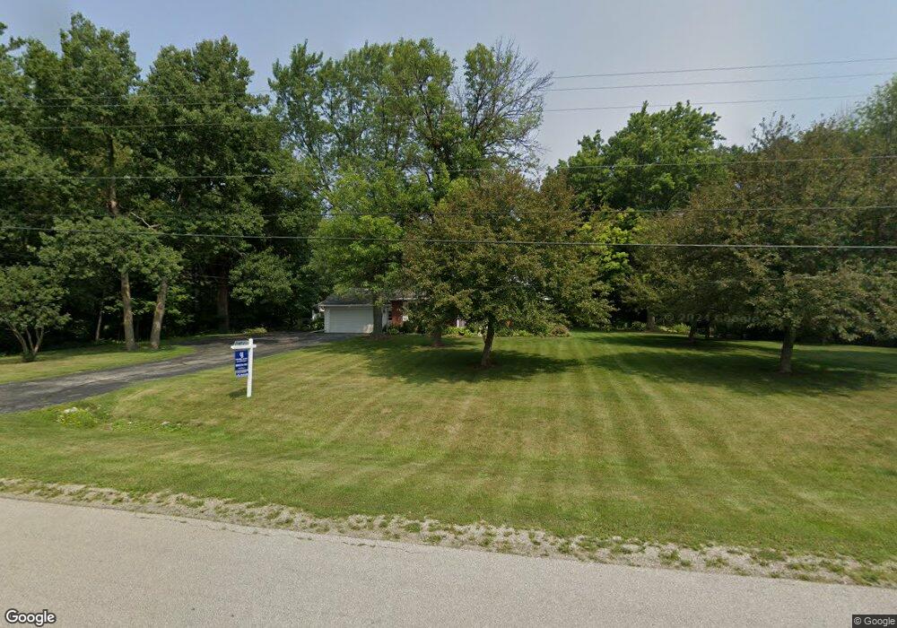
1570 Adam Dr de Pere, WI 54115
Estimated Value: $358,000 - $441,000
Studio
--
Bath
--
Sq Ft
89,734
Sq Ft Lot
About This Home
This home is located at 1570 Adam Dr, de Pere, WI 54115 and is currently estimated at $403,416. 1570 Adam Dr is a home located in Brown County with nearby schools including Hemlock Creek Elementary School, West De Pere Middle School, and West De Pere High School.
Ownership History
Date
Name
Owned For
Owner Type
Purchase Details
Closed on
Aug 18, 2023
Sold by
D'Arey Brian and Bellingar Kaitlyn
Bought by
Glaff Eric
Current Estimated Value
Purchase Details
Closed on
Aug 7, 2018
Sold by
Mohr Wayne V and Mohr Kathleen M
Bought by
Arcy Brian D
Home Financials for this Owner
Home Financials are based on the most recent Mortgage that was taken out on this home.
Original Mortgage
$236,925
Interest Rate
4.6%
Mortgage Type
VA
Create a Home Valuation Report for This Property
The Home Valuation Report is an in-depth analysis detailing your home's value as well as a comparison with similar homes in the area
Home Values in the Area
Average Home Value in this Area
Purchase History
| Date | Buyer | Sale Price | Title Company |
|---|---|---|---|
| Glaff Eric | $382,000 | -- | |
| Arcy Brian D | $260,000 | Liberty Title |
Source: Public Records
Mortgage History
| Date | Status | Borrower | Loan Amount |
|---|---|---|---|
| Previous Owner | Arcy Brian D | $236,925 |
Source: Public Records
Tax History
| Year | Tax Paid | Tax Assessment Tax Assessment Total Assessment is a certain percentage of the fair market value that is determined by local assessors to be the total taxable value of land and additions on the property. | Land | Improvement |
|---|---|---|---|---|
| 2025 | $3,664 | $235,100 | $79,400 | $155,700 |
| 2024 | $3,802 | $235,100 | $79,400 | $155,700 |
| 2023 | $3,318 | $217,400 | $79,400 | $138,000 |
| 2022 | $3,373 | $217,400 | $79,400 | $138,000 |
| 2021 | $3,379 | $217,400 | $79,400 | $138,000 |
| 2020 | $3,363 | $169,600 | $56,000 | $113,600 |
| 2019 | $3,247 | $169,600 | $56,000 | $113,600 |
| 2018 | $3,206 | $169,600 | $56,000 | $113,600 |
| 2017 | $3,179 | $169,600 | $56,000 | $113,600 |
| 2016 | $3,238 | $169,600 | $56,000 | $113,600 |
| 2015 | $3,403 | $169,600 | $56,000 | $113,600 |
| 2014 | $3,477 | $169,600 | $56,000 | $113,600 |
| 2013 | $3,477 | $169,600 | $56,000 | $113,600 |
Source: Public Records
Map
Nearby Homes
- 1630 Ravine Dr
- 2965 Packerland Dr
- 1485 W Marhill Rd
- 0 Contract Dr
- 1280 W Main Ave
- 2880 Lumber Ln
- 1258 Circle Dr
- 1569 Orchid Ln
- 1330 Fernando Dr
- 1127 Princess Dove Cir Unit 16
- 1403 Ponderosa Ave
- 3629 W Hank Ave
- 3578 W Hank Ave
- 1338 Highland Ridge Dr
- 3644 E Hank Ave
- 3504 Aerts Ln
- 3705 Edwina Dr
- 3763 Edwina Dr
- 3166 Trinity Ct
- 3706 Edwina Dr
- 1570 E Adam Dr
- 1604 E Adam Dr
- 3245 Pioneer Dr
- 1560 E Adam Dr
- 1560 E Adam Dr
- 3233 Pioneer Dr
- 3255 Pioneer Dr
- 3221 Pioneer Dr
- 1620 Adam Dr
- 3267 Pioneer Dr
- 1530 E Adam Dr
- 3209 Pioneer Dr
- 3283 Pioneer Dr
- 2328 Short Rd
- 3197 Pioneer Dr
- 1632 Adam Dr
- 1632 E Adam Dr
- 3185 Pioneer Dr
- 3291 Pioneer Dr
- 1545 Woodland Dr
Your Personal Tour Guide
Ask me questions while you tour the home.