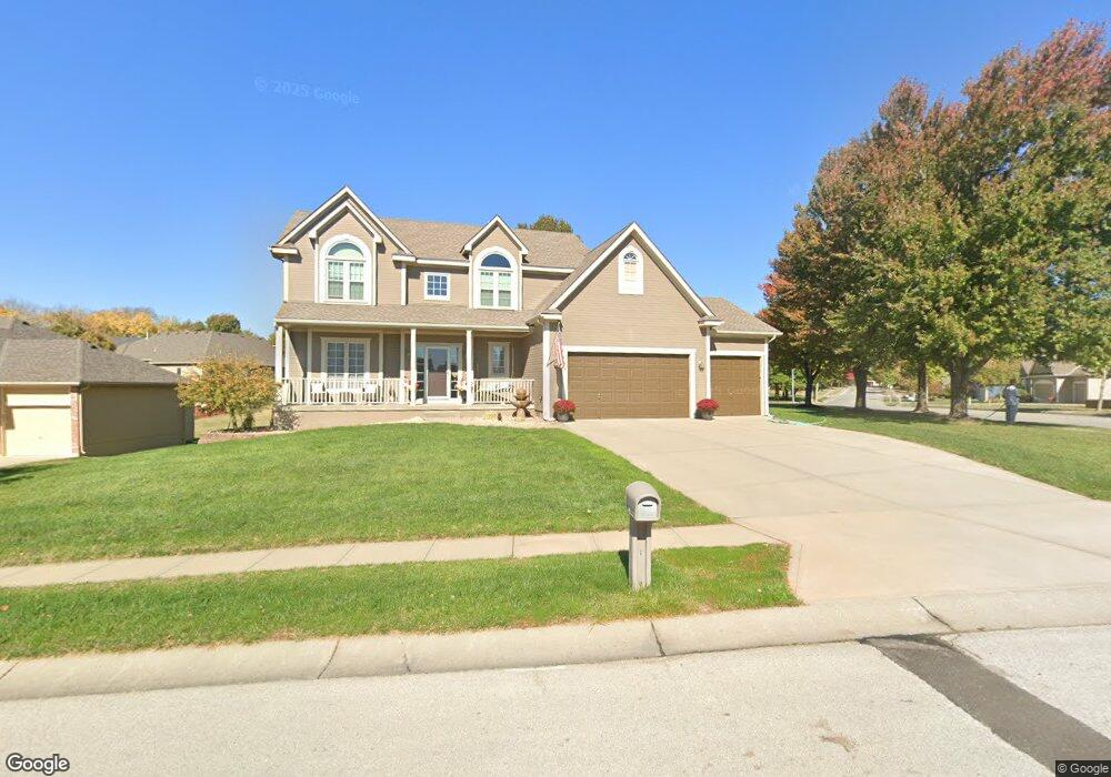
1570 Carriage Ct Liberty, MO 64068
Estimated Value: $430,960 - $503,000
4
Beds
4
Baths
2,335
Sq Ft
$198/Sq Ft
Est. Value
About This Home
This home is located at 1570 Carriage Ct, Liberty, MO 64068 and is currently estimated at $462,740, approximately $198 per square foot. 1570 Carriage Ct is a home located in Clay County with nearby schools including Alexander Doniphan Elementary School, Liberty Middle School, and Liberty High School.
Ownership History
Date
Name
Owned For
Owner Type
Purchase Details
Closed on
Apr 4, 2003
Sold by
John Shilt Homes Inc
Bought by
Nay Michael D and Nay Michelle S
Current Estimated Value
Home Financials for this Owner
Home Financials are based on the most recent Mortgage that was taken out on this home.
Original Mortgage
$218,725
Interest Rate
4.62%
Purchase Details
Closed on
Jun 19, 2002
Sold by
South Liberty Development Llc
Bought by
John Shilt Homes Inc
Home Financials for this Owner
Home Financials are based on the most recent Mortgage that was taken out on this home.
Original Mortgage
$204,000
Interest Rate
6.82%
Mortgage Type
Construction
Create a Home Valuation Report for This Property
The Home Valuation Report is an in-depth analysis detailing your home's value as well as a comparison with similar homes in the area
Home Values in the Area
Average Home Value in this Area
Purchase History
| Date | Buyer | Sale Price | Title Company |
|---|---|---|---|
| Nay Michael D | -- | United Title Company Inc | |
| John Shilt Homes Inc | -- | United Title Company |
Source: Public Records
Mortgage History
| Date | Status | Borrower | Loan Amount |
|---|---|---|---|
| Open | Nay Michael D | $218,725 | |
| Previous Owner | John Shilt Homes Inc | $204,000 |
Source: Public Records
Tax History Compared to Growth
Tax History
| Year | Tax Paid | Tax Assessment Tax Assessment Total Assessment is a certain percentage of the fair market value that is determined by local assessors to be the total taxable value of land and additions on the property. | Land | Improvement |
|---|---|---|---|---|
| 2025 | $4,748 | $73,970 | -- | -- |
| 2024 | $4,748 | $61,730 | -- | -- |
| 2023 | $4,828 | $61,730 | $0 | $0 |
| 2022 | $4,192 | $52,920 | $0 | $0 |
| 2021 | $4,159 | $52,915 | $7,980 | $44,935 |
| 2020 | $4,073 | $48,660 | $0 | $0 |
| 2019 | $4,072 | $48,660 | $0 | $0 |
| 2018 | $3,991 | $46,820 | $0 | $0 |
| 2017 | $3,859 | $46,820 | $6,650 | $40,170 |
| 2016 | $3,859 | $45,690 | $6,650 | $39,040 |
| 2015 | $3,860 | $45,690 | $6,650 | $39,040 |
| 2014 | $3,770 | $44,290 | $7,220 | $37,070 |
Source: Public Records
Map
Nearby Homes
- 1836 Green Meadow Dr
- 1845 Arbor Trail
- 1824 Arbor Trail
- 1841 Vintage Ln
- 1852 Vintage Ln
- 1916 Longview Dr
- 1985 Longview Dr
- 1989 Longview Dr
- 1912 Longview Dr
- 1979 Harvest Rd
- 1983 Harvest Rd
- 1975 Harvest Rd
- 1971 Harvest Rd
- 1733 Welleslay Ln
- 2188 Heritage Ct
- 1920 Longview Dr
- 1709 Homestead Dr
- Redbud Plan at Homestead of Liberty - Homestead
- Spruce Plan at Homestead of Liberty - Homestead
- Cypress Plan at Homestead of Liberty - Homestead
- 1574 Carriage Ct
- 1573 Buckingham Ct
- 1577 Buckingham Ct
- 1571 Carriage Ct
- 1562 Carriage Cir
- 1575 Carriage Ct
- 1578 Carriage Ct
- 1581 Buckingham Ct
- 1809 Buckingham Dr
- 1563 Carriage Cir
- 1579 Carriage Ct
- 1582 Carriage Ct
- 1570 Buckingham Ct
- 1566 Bernadine Dr
- 1558 Carriage Cir
- 1574 Buckingham Ct
- 1576 Bernadine Dr
- 1585 Buckingham Ct
- 1805 Buckingham Dr
- 1583 Carriage Ct