1570 E 900 St N Battle Ground, IN 47920
Estimated Value: $428,000 - $1,092,003
6
Beds
3
Baths
6,958
Sq Ft
$117/Sq Ft
Est. Value
About This Home
This home is located at 1570 E 900 St N, Battle Ground, IN 47920 and is currently estimated at $811,334, approximately $116 per square foot. 1570 E 900 St N is a home with nearby schools including Battle Ground Elementary School, Battle Ground Middle School, and William Henry Harrison High School.
Ownership History
Date
Name
Owned For
Owner Type
Purchase Details
Closed on
Dec 17, 2021
Sold by
Hardebeck Development Llc
Bought by
Rohrman Ryan and Rohrman Jen
Current Estimated Value
Purchase Details
Closed on
Aug 11, 2017
Sold by
Garrott Floyd H and Heath Lori S
Bought by
Hardebeck Development Llc
Purchase Details
Closed on
Aug 28, 2014
Sold by
Garrott Floyd H
Bought by
Garrott Floyd H and Heath Lori S
Purchase Details
Closed on
Aug 27, 2014
Sold by
Marian Garrott
Bought by
Garrott Floyd H
Purchase Details
Closed on
Apr 26, 2011
Sold by
Garrott Marian
Bought by
Garrott Marian and Marion Garrott Amended & Restated Revoca
Create a Home Valuation Report for This Property
The Home Valuation Report is an in-depth analysis detailing your home's value as well as a comparison with similar homes in the area
Home Values in the Area
Average Home Value in this Area
Purchase History
| Date | Buyer | Sale Price | Title Company |
|---|---|---|---|
| Rohrman Ryan | -- | Riley Kevin J | |
| Hardebeck Development Llc | -- | -- | |
| Garrott Floyd H | -- | -- | |
| Garrott Floyd H | -- | -- | |
| Garrott Marian | -- | None Available | |
| Garrott Marian | -- | None Available | |
| Garrott Marian | -- | None Available |
Source: Public Records
Tax History Compared to Growth
Tax History
| Year | Tax Paid | Tax Assessment Tax Assessment Total Assessment is a certain percentage of the fair market value that is determined by local assessors to be the total taxable value of land and additions on the property. | Land | Improvement |
|---|---|---|---|---|
| 2024 | $11,845 | $745,900 | $156,400 | $589,500 |
| 2023 | $2,459 | $170,600 | $156,400 | $14,200 |
| 2022 | $2,310 | $156,400 | $156,400 | $0 |
| 2021 | $324 | $21,700 | $21,700 | $0 |
| 2020 | $316 | $21,700 | $21,700 | $0 |
| 2019 | $386 | $26,500 | $26,500 | $0 |
| 2018 | $389 | $27,300 | $27,300 | $0 |
| 2017 | $462 | $32,400 | $32,400 | $0 |
| 2016 | $486 | $34,300 | $34,300 | $0 |
| 2014 | $505 | $35,900 | $35,900 | $0 |
| 2013 | $457 | $30,800 | $30,800 | $0 |
Source: Public Records
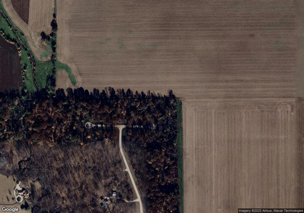
Map
Nearby Homes
- 9099 Herring Ln
- 9060 Herring Ln
- 2880 Antioch Ln
- 7625 Indiana 43
- 8224 N Meridian Line Rd
- 689 Winslow Ln
- 6954 State Road 43 N
- 7319 N 300 E
- 1578 W Herring Way Rd
- 1109 E Creekside Ct
- 6258 Munsee Dr
- 6260 Musket Way
- 6203 Munsee Dr
- 6519 Ironclad Way
- 2489 Matchlock Ct
- 6125 Gallegos Dr
- Harrison Plan at The Preserve
- Reagan Plan at The Preserve
- Monroe Plan at The Preserve
- Eisenhower Plan at The Preserve
- 3974 Herring Ln
- 9140 Herring Ln
- 9048 Northridge Ln
- 9044 Northridge Ln
- 9040 Northridge Ln
- 1500 E 900 N
- 9036 Northridge Ln
- 1550 E 900 N
- 1807 E 900 N
- 1350 E 900 N
- 9012 Northridge Ln
- 8908 Mcafee Ln
- 1775 E 900 N
- 1915 E 900 N
- 1428 E 900 N
- 9008 Northridge Ln
- 8908 State Road 43 N
- 8818 Mcafee Ln
- 2001 E 900 N
- 9004 Northridge Ln