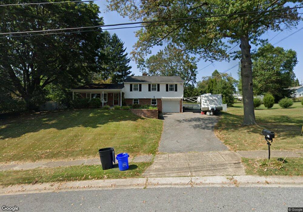
1570 Highpoint Ln Aston, PA 19014
Estimated Value: $522,000 - $539,010
3
Beds
2
Baths
2,137
Sq Ft
$249/Sq Ft
Est. Value
About This Home
This home is located at 1570 Highpoint Ln, Aston, PA 19014 and is currently estimated at $532,003, approximately $248 per square foot. 1570 Highpoint Ln is a home located in Delaware County with nearby schools including St. Thomas Apostle School.
Ownership History
Date
Name
Owned For
Owner Type
Purchase Details
Closed on
Feb 25, 2005
Sold by
Reeves Hubert R and Reeves Miriam P
Bought by
Bradley Thomas F and Bradley Jennifer L
Current Estimated Value
Home Financials for this Owner
Home Financials are based on the most recent Mortgage that was taken out on this home.
Original Mortgage
$31,200
Outstanding Balance
$15,870
Interest Rate
5.66%
Mortgage Type
Credit Line Revolving
Estimated Equity
$516,133
Create a Home Valuation Report for This Property
The Home Valuation Report is an in-depth analysis detailing your home's value as well as a comparison with similar homes in the area
Home Values in the Area
Average Home Value in this Area
Purchase History
| Date | Buyer | Sale Price | Title Company |
|---|---|---|---|
| Bradley Thomas F | $312,000 | Lawyers Title Ins |
Source: Public Records
Mortgage History
| Date | Status | Borrower | Loan Amount |
|---|---|---|---|
| Open | Bradley Thomas F | $31,200 | |
| Open | Bradley Thomas F | $249,600 |
Source: Public Records
Tax History Compared to Growth
Tax History
| Year | Tax Paid | Tax Assessment Tax Assessment Total Assessment is a certain percentage of the fair market value that is determined by local assessors to be the total taxable value of land and additions on the property. | Land | Improvement |
|---|---|---|---|---|
| 2025 | $8,382 | $323,030 | $102,280 | $220,750 |
| 2024 | $8,382 | $323,030 | $102,280 | $220,750 |
| 2023 | $8,006 | $323,030 | $102,280 | $220,750 |
| 2022 | $7,721 | $323,030 | $102,280 | $220,750 |
| 2021 | $11,914 | $323,030 | $102,280 | $220,750 |
| 2020 | $6,568 | $160,820 | $60,980 | $99,840 |
| 2019 | $6,442 | $160,820 | $60,980 | $99,840 |
| 2018 | $6,169 | $160,820 | $0 | $0 |
| 2017 | $6,038 | $160,820 | $0 | $0 |
| 2016 | $883 | $160,820 | $0 | $0 |
| 2015 | $883 | $160,820 | $0 | $0 |
| 2014 | $883 | $160,820 | $0 | $0 |
Source: Public Records
Map
Nearby Homes
- 3 Rolling Heights Ln
- 48 Bishop Dr
- 220 Spring Valley Way
- 346 Lenni Rd
- 214 Bishop Dr
- 213 Bishop Dr
- 324 Crozerville Rd
- 324 332 Crozerville Rd
- 21 Hoag Ln
- 38 New Rd
- 4621 Aston Mills Rd
- 103 Valleybrook Rd
- 277 W Baltimore Pike
- 21 Eusden Dr
- 1 Victoria Dr
- 146 Logtown Rd
- 117 Segel Dr
- 116 Ivy Mills Rd
- 120 Ivy Mills Rd
- 9 Ivy Ln
- 1578 Highpoint Ln
- 1560 Hillcrest Ln
- 1550 Hillcrest Ln
- 1586 Highpoint Ln
- 2440 Lenni Rd
- 1600 Hillcrest Ln
- 1575 Highpoint Ln
- 1510 Hillcrest Ln
- 1594 Highpoint Ln
- 1620 Hillcrest Ln
- 1605 Country Ln
- 2690 Lenni Rd
- 2708 Lenni Rd
- 697C Lenni Rd
- 2520 Lenni Rd
- 1602 Highpoint Ln
- 697 Lenni Rd
- 1565 Hillcrest Ln
- 1630 Hillcrest Ln
- 350 Lenni Rd