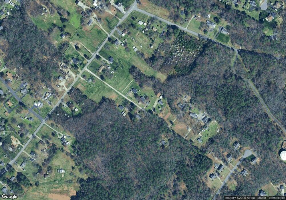
1570 Kimbrook Ln Sandston, VA 23150
Estimated Value: $271,000 - $300,000
3
Beds
1
Bath
1,368
Sq Ft
$210/Sq Ft
Est. Value
About This Home
This home is located at 1570 Kimbrook Ln, Sandston, VA 23150 and is currently estimated at $287,148, approximately $209 per square foot. 1570 Kimbrook Ln is a home located in Henrico County with nearby schools including Donahoe Elementary School, Elko Middle School, and Highland Springs High School.
Ownership History
Date
Name
Owned For
Owner Type
Purchase Details
Closed on
Aug 4, 1998
Sold by
Sullivan John B and Sullivan E
Bought by
Day Thomas J
Current Estimated Value
Home Financials for this Owner
Home Financials are based on the most recent Mortgage that was taken out on this home.
Original Mortgage
$97,597
Outstanding Balance
$20,361
Interest Rate
6.92%
Mortgage Type
FHA
Estimated Equity
$266,787
Create a Home Valuation Report for This Property
The Home Valuation Report is an in-depth analysis detailing your home's value as well as a comparison with similar homes in the area
Home Values in the Area
Average Home Value in this Area
Purchase History
| Date | Buyer | Sale Price | Title Company |
|---|---|---|---|
| Day Thomas J | $100,000 | -- |
Source: Public Records
Mortgage History
| Date | Status | Borrower | Loan Amount |
|---|---|---|---|
| Open | Day Thomas J | $97,597 |
Source: Public Records
Tax History Compared to Growth
Tax History
| Year | Tax Paid | Tax Assessment Tax Assessment Total Assessment is a certain percentage of the fair market value that is determined by local assessors to be the total taxable value of land and additions on the property. | Land | Improvement |
|---|---|---|---|---|
| 2025 | $2,082 | $236,300 | $47,600 | $188,700 |
| 2024 | $2,082 | $224,700 | $47,600 | $177,100 |
| 2023 | $1,910 | $224,700 | $47,600 | $177,100 |
| 2022 | $1,703 | $200,400 | $45,700 | $154,700 |
| 2021 | $1,494 | $167,000 | $45,700 | $121,300 |
| 2020 | $1,453 | $167,000 | $45,700 | $121,300 |
| 2019 | $1,401 | $161,000 | $45,700 | $115,300 |
| 2018 | $1,338 | $153,800 | $45,700 | $108,100 |
| 2017 | $1,151 | $132,300 | $45,700 | $86,600 |
| 2016 | $1,151 | $132,300 | $45,700 | $86,600 |
| 2015 | $602 | $128,700 | $45,700 | $83,000 |
| 2014 | $602 | $138,500 | $45,700 | $92,800 |
Source: Public Records
Map
Nearby Homes
- 316 Chipper Way
- 300 Carlstone Dr
- 203 Meadow Rd
- 621 N Airport Dr
- 10008 Chartwood Ct
- 1920 Meadow Rd
- 670 N Airport Dr
- 1928 Repp Cir
- 405 Roxana Rd
- 206 Naglee Ave
- 518 E Washington St
- 206 N Oak Ave
- 3 E Sedgwick St
- 233 N Mapleleaf Ave
- 121 E Magruder St
- 235 Banks St
- 6 W Magruder St
- 305 E Union St
- 111 N Mapleleaf Ave
- 149 York River Rd
- 1550 Kimbrook Ln
- 1577 Kimbrook Ln
- 1551 Kimbrook Ln
- 1600 Kimbrook Ln
- 323 Hanover Rd
- 1601 Kimbrook Ln
- 293 Hanover Rd
- 267 Hanover Rd
- 1620 Kimbrook Ln
- 341 Hanover Rd
- 1545 Graves Rd
- 365 Hanover Rd
- 1646 Kimbrook Ln
- 1531 Graves Rd
- 273 Hanover Rd
- 389 Hanover Rd
- 288 Hanover Rd
- 276 Hanover Rd
- 296 Hanover Rd
- 1666 Meadow Rd
