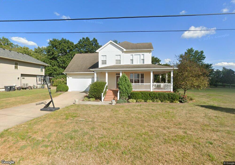
1570 Lewis St Portage Des Sioux, MO 63373
Estimated Value: $278,000 - $394,000
3
Beds
3
Baths
2,192
Sq Ft
$153/Sq Ft
Est. Value
About This Home
This home is located at 1570 Lewis St, Portage Des Sioux, MO 63373 and is currently estimated at $335,333, approximately $152 per square foot. 1570 Lewis St is a home located in St. Charles County with nearby schools including Orchard Farm Elementary School, Discovery Elementary School, and Orchard Farm Middle School.
Ownership History
Date
Name
Owned For
Owner Type
Purchase Details
Closed on
May 22, 2006
Sold by
Schwarz John R and Odor Ildiko I
Bought by
Neustadt Matthew E
Current Estimated Value
Purchase Details
Closed on
Mar 21, 2005
Sold by
Cummins Don Mark and Cummins Marcia
Bought by
Schwarz John R and Odor Ildiko I
Home Financials for this Owner
Home Financials are based on the most recent Mortgage that was taken out on this home.
Original Mortgage
$18,750
Interest Rate
5.67%
Mortgage Type
Construction
Create a Home Valuation Report for This Property
The Home Valuation Report is an in-depth analysis detailing your home's value as well as a comparison with similar homes in the area
Home Values in the Area
Average Home Value in this Area
Purchase History
| Date | Buyer | Sale Price | Title Company |
|---|---|---|---|
| Neustadt Matthew E | $225,000 | Ust | |
| Schwarz John R | -- | U S Title Guaranty Company |
Source: Public Records
Mortgage History
| Date | Status | Borrower | Loan Amount |
|---|---|---|---|
| Previous Owner | Schwarz John R | $18,750 | |
| Closed | Schwarz John R | $8,250 |
Source: Public Records
Tax History Compared to Growth
Tax History
| Year | Tax Paid | Tax Assessment Tax Assessment Total Assessment is a certain percentage of the fair market value that is determined by local assessors to be the total taxable value of land and additions on the property. | Land | Improvement |
|---|---|---|---|---|
| 2025 | $4,010 | $62,617 | -- | -- |
| 2023 | $4,012 | $59,998 | $0 | $0 |
| 2022 | $3,408 | $49,021 | $0 | $0 |
| 2021 | $3,505 | $49,021 | $0 | $0 |
| 2020 | $3,248 | $43,920 | $0 | $0 |
| 2019 | $2,809 | $43,920 | $0 | $0 |
| 2018 | $2,735 | $39,457 | $0 | $0 |
| 2017 | $2,749 | $39,457 | $0 | $0 |
| 2016 | $2,668 | $38,213 | $0 | $0 |
| 2015 | $2,714 | $38,213 | $0 | $0 |
| 2014 | $2,664 | $36,453 | $0 | $0 |
Source: Public Records
Map
Nearby Homes
- 1420 Church St
- 7447 N Highway 94
- 25422 Elsah Hills Dr
- 0 Penn St Unit MIS25062811
- 4 Lockhaven Estates
- 26641 Lockhaven Hill
- 25561 Beltrees Rd
- 23452 Apple Tree Ln
- 3 Lockhaven Estates
- 13011 Teal Ln
- 23850 Green Acres Rd
- 4101 Stoneledge Dr
- 3505 Riverview Ct
- 3808 Stanka Ln
- 235 Quindaro Dr
- 9340 N State Route 94
- 805 Wind Rivers Dr Unit B
- 19726 Old Jamestown Rd
- 1127 Redwing Ct
- 776 Grafton Hills Dr
- 1550 Lewis St
- 1135 Common Field St
- 1585 Washington St
- 1058 Common Field St
- 1595 Washington St
- 1560 Lepage Rd
- 1570 Washington St
- 1070 Common Field St
- 1590 Washington St
- 1170 Common Field St
- 1120 Common Field St
- 7334 Portage Rd
- 1220 Common Field St
- 1325 Common Field St
- 1355 Common Field St
- 1250 Common Field St
- 1425 Dumond St
- 1425 Dumond St
- 1420 Dumond St
- 1225 4th St