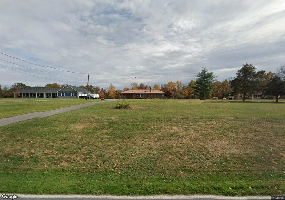
1570 Lisburn Rd Wellsville, PA 17365
Warrington Township NeighborhoodEstimated Value: $279,000 - $324,100
3
Beds
1
Bath
1,600
Sq Ft
$193/Sq Ft
Est. Value
About This Home
This home is located at 1570 Lisburn Rd, Wellsville, PA 17365 and is currently estimated at $309,275, approximately $193 per square foot. 1570 Lisburn Rd is a home located in York County with nearby schools including Northern Middle School and Northern High School.
Ownership History
Date
Name
Owned For
Owner Type
Purchase Details
Closed on
Dec 9, 2019
Sold by
Baldwin Kathy A
Bought by
Kennedy Jocelyn M and Rodgers Todd A
Current Estimated Value
Purchase Details
Closed on
Nov 25, 2019
Sold by
Baldwin Kathy A and Boose Kathy
Bought by
Baldwin Kathy A and Boose Kathy
Purchase Details
Closed on
Feb 6, 2019
Sold by
Shank Merle W and Shank Dorothy E
Bought by
Baldwin Kathy A
Purchase Details
Closed on
Mar 1, 1981
Bought by
Boose Kathy
Create a Home Valuation Report for This Property
The Home Valuation Report is an in-depth analysis detailing your home's value as well as a comparison with similar homes in the area
Home Values in the Area
Average Home Value in this Area
Purchase History
| Date | Buyer | Sale Price | Title Company |
|---|---|---|---|
| Kennedy Jocelyn M | -- | None Available | |
| Baldwin Kathy A | -- | None Available | |
| Baldwin Kathy A | -- | None Available | |
| Boose Kathy | -- | -- |
Source: Public Records
Tax History Compared to Growth
Tax History
| Year | Tax Paid | Tax Assessment Tax Assessment Total Assessment is a certain percentage of the fair market value that is determined by local assessors to be the total taxable value of land and additions on the property. | Land | Improvement |
|---|---|---|---|---|
| 2025 | $4,320 | $158,580 | $44,240 | $114,340 |
| 2024 | $4,273 | $158,580 | $44,240 | $114,340 |
| 2023 | $4,187 | $158,580 | $44,240 | $114,340 |
| 2022 | $4,098 | $158,580 | $44,240 | $114,340 |
| 2021 | $3,831 | $158,580 | $44,240 | $114,340 |
| 2020 | $3,672 | $158,580 | $44,240 | $114,340 |
| 2019 | $3,579 | $155,700 | $41,360 | $114,340 |
| 2018 | $3,502 | $155,700 | $41,360 | $114,340 |
| 2017 | $3,502 | $155,700 | $41,360 | $114,340 |
| 2016 | $0 | $155,700 | $41,360 | $114,340 |
| 2015 | -- | $155,700 | $41,360 | $114,340 |
| 2014 | -- | $155,700 | $41,360 | $114,340 |
Source: Public Records
Map
Nearby Homes
- Tract #1 Carlisle Rd
- 0 W Camping Area Rd
- 270 S Winding Rd
- 375 Mount Zion Rd
- 6520 Old Carlisle Rd
- 138 S Peiffer Rd
- 480 Mount Airy Rd Unit 13
- 1967 Pinetown Rd
- 329 Mount Airy Rd
- 6691 Harmony Grove Rd
- 6200 Old Carlisle Rd
- 450 Stone Jug Rd
- 2530 Sky Top Trail
- 265 Pine Woods Rd
- 160 Myers Rd
- 5790 Carlisle Rd
- 5840 Old Carlisle Rd
- 6031 Mountain Rd
- 22 Bentz Mill Rd
- 5790 Mountain Rd
- 1560 Lisburn Rd
- 1580 Lisburn Rd
- 1565 Lisburn Rd
- 1551 Lisburn Rd
- 1589 Lisburn Rd
- 1550 Lisburn Rd
- 1545 Lisburn Rd
- 1610 Lisburn Rd
- 1609 Lisburn Rd
- 1530 Lisburn Rd
- 1624 Lisburn Rd
- 7725 Carlisle Rd
- 40 Fairmont Ave
- 0 Lisburn Rd
- 7210 Harmony Grove Rd
- 7815 Carlisle Rd
- 7695 Carlisle Rd
- 7714 Carlisle Rd
- 7820 Carlisle Rd
- 1637 Lisburn Rd