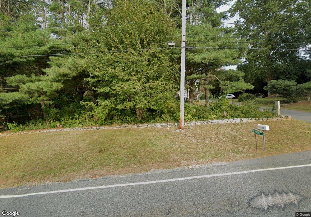
1570 Main Rd Westport, MA 02790
Westport Point NeighborhoodEstimated Value: $866,000 - $1,044,615
3
Beds
--
Bath
1,512
Sq Ft
$639/Sq Ft
Est. Value
About This Home
This home is located at 1570 Main Rd, Westport, MA 02790 and is currently estimated at $966,538, approximately $639 per square foot. 1570 Main Rd is a home located in Bristol County with nearby schools including Alice A. Macomber Primary School, Westport Elementary School, and Westport Middle-High School.
Ownership History
Date
Name
Owned For
Owner Type
Purchase Details
Closed on
Jan 20, 2011
Sold by
Bettencourt Anjos
Bought by
The Bettencourt Rt and Bettencourt Anjos
Current Estimated Value
Create a Home Valuation Report for This Property
The Home Valuation Report is an in-depth analysis detailing your home's value as well as a comparison with similar homes in the area
Home Values in the Area
Average Home Value in this Area
Purchase History
| Date | Buyer | Sale Price | Title Company |
|---|---|---|---|
| The Bettencourt Rt | -- | -- |
Source: Public Records
Mortgage History
| Date | Status | Borrower | Loan Amount |
|---|---|---|---|
| Previous Owner | The Bettencourt Rt | $88,025 | |
| Previous Owner | The Bettencourt Rt | $67,000 | |
| Previous Owner | The Bettencourt Rt | $75,000 |
Source: Public Records
Tax History Compared to Growth
Tax History
| Year | Tax Paid | Tax Assessment Tax Assessment Total Assessment is a certain percentage of the fair market value that is determined by local assessors to be the total taxable value of land and additions on the property. | Land | Improvement |
|---|---|---|---|---|
| 2025 | $6,132 | $823,100 | $587,200 | $235,900 |
| 2024 | $6,029 | $780,000 | $548,300 | $231,700 |
| 2023 | $4,124 | $505,400 | $285,600 | $219,800 |
| 2022 | $4,049 | $477,500 | $285,600 | $191,900 |
| 2021 | $3,880 | $450,100 | $262,500 | $187,600 |
| 2020 | $3,699 | $438,800 | $253,300 | $185,500 |
| 2019 | $3,573 | $432,100 | $253,300 | $178,800 |
| 2018 | $3,346 | $409,600 | $246,200 | $163,400 |
| 2017 | $3,429 | $430,300 | $264,900 | $165,400 |
| 2016 | $3,526 | $445,800 | $286,200 | $159,600 |
| 2015 | $3,343 | $421,600 | $267,400 | $154,200 |
Source: Public Records
Map
Nearby Homes
- 1580 Main Rd
- 1749 Main Rd
- 1346 Main Rd Unit B
- 1702J Drift Rd
- 1881 Main Rd
- 1702 Drift Rd
- 99 Sylvia Ln
- 19 Seabury Ln
- 225 Hixbridge Rd
- 920 Drift Rd
- 17 Quail Trail
- 101 Adamsville Rd
- 245 John Dyer Rd
- 255 John Dyer Rd
- 837 Main Rd
- 8 Village Way
- 189 Brayton Point Rd
- 7 Village Way
- 15 Village Way
- 116 Amy Hart Path