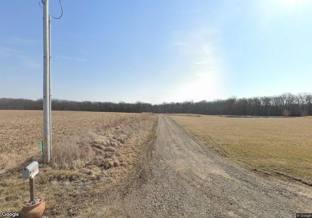
1570 N Rumbaugh Rd Harrod, OH 45850
Estimated Value: $197,000 - $235,000
1
Bed
1
Bath
384
Sq Ft
$569/Sq Ft
Est. Value
About This Home
This home is located at 1570 N Rumbaugh Rd, Harrod, OH 45850 and is currently estimated at $218,640, approximately $569 per square foot. 1570 N Rumbaugh Rd is a home with nearby schools including Allen East Elementary School, Allen East Middle School, and Allen East High School.
Ownership History
Date
Name
Owned For
Owner Type
Purchase Details
Closed on
Apr 6, 2022
Bought by
Lisa M Gossard
Current Estimated Value
Purchase Details
Closed on
Mar 30, 2022
Sold by
Llewellyn and Kayla
Bought by
Gossard Lisa M
Purchase Details
Closed on
Feb 27, 2014
Sold by
Llewellyn Joel and Llewellyn Kayla
Bought by
Gossard Bradley M
Purchase Details
Closed on
Apr 7, 2011
Sold by
Thayer James Allen and Thayer Linda S
Bought by
Llewellyn Joel and Llewellyn Kayla
Create a Home Valuation Report for This Property
The Home Valuation Report is an in-depth analysis detailing your home's value as well as a comparison with similar homes in the area
Home Values in the Area
Average Home Value in this Area
Purchase History
| Date | Buyer | Sale Price | Title Company |
|---|---|---|---|
| Lisa M Gossard | -- | -- | |
| Gossard Lisa M | -- | Basinger Scott L | |
| Gossard Bradley M | $15,000 | None Available | |
| Llewellyn Joel | $55,000 | None Available |
Source: Public Records
Tax History Compared to Growth
Tax History
| Year | Tax Paid | Tax Assessment Tax Assessment Total Assessment is a certain percentage of the fair market value that is determined by local assessors to be the total taxable value of land and additions on the property. | Land | Improvement |
|---|---|---|---|---|
| 2024 | $1,934 | $56,390 | $21,040 | $35,350 |
| 2023 | $1,626 | $43,060 | $16,070 | $26,990 |
| 2022 | $1,422 | $36,620 | $16,070 | $20,550 |
| 2021 | $438 | $11,240 | $11,240 | $0 |
| 2020 | $433 | $10,850 | $10,850 | $0 |
| 2019 | $433 | $10,850 | $10,850 | $0 |
| 2018 | $433 | $10,850 | $10,850 | $0 |
| 2017 | $385 | $9,380 | $9,380 | $0 |
| 2016 | $387 | $9,380 | $9,380 | $0 |
| 2015 | $1,145 | $9,380 | $9,380 | $0 |
| 2014 | $1,145 | $8,720 | $8,720 | $0 |
| 2013 | $76 | $8,720 | $8,720 | $0 |
Source: Public Records
Map
Nearby Homes
- 118 E Main St
- 647 Fisher Rd
- 2327 N Phillips Rd
- 663 N Mcclure Rd
- 000 Phillips Rd
- 5496 Sandusky Rd
- 000 Napoleon Rd
- 4700 Herr Rd
- 6476 Mickelson Ln
- 1855 S Cool Rd
- 0 N Dixie Hwy Unit 308796
- 0 N Dixie Hwy Unit 300253
- 4619 N Thayer Rd
- 4786 Harding Hwy
- 485 S Mumaugh Rd
- 3805 Cambridge Place
- 200 S Main St
- 211 Pinewood Cir
- 303 Pinewood Cir
- 222 Pinewood Cir
- 1506 N Rumbaugh Rd
- 1489 N Rumbaugh Rd
- 1490 N Rumbaugh Rd
- 1454 N Rumbaugh Rd
- 1450 N Rumbaugh Rd
- 1740 N Napoleon Rd
- 1256 N Rumbaugh Rd
- 1257 N Rumbaugh Rd
- 1290 N Rumbaugh Rd
- 1888 N Napoleon Rd
- 1175 N Rumbaugh Rd
- 1850 N Napoleon Rd
- 7713 Ada Rd
- 1950 N Napoleon Rd
- 7801 Ada Rd
- 311 Washington St
- 311 N Washington St
- 205 N Washington St
- 307 N Washington St
- 303 N Washington St
