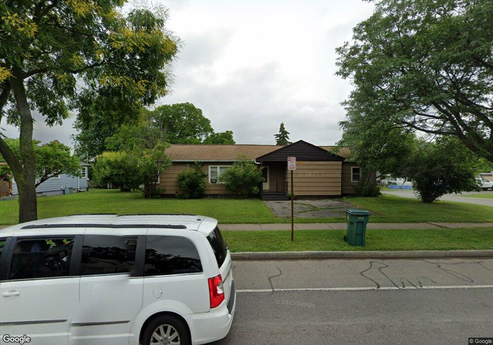
1570 Norton St Rochester, NY 14621
Northeast Rochester NeighborhoodEstimated Value: $116,000 - $166,462
2
Beds
1
Bath
916
Sq Ft
$158/Sq Ft
Est. Value
About This Home
This home is located at 1570 Norton St, Rochester, NY 14621 and is currently estimated at $144,616, approximately $157 per square foot. 1570 Norton St is a home located in Monroe County with nearby schools including School 39-Andrew J. Townson, Mary McLeod Bethune School No. 45, and School 25 Nathaniel Hawthorne.
Ownership History
Date
Name
Owned For
Owner Type
Purchase Details
Closed on
Mar 20, 2023
Sold by
Ortiz Angela
Bought by
Mcs1 Properties Llc
Current Estimated Value
Home Financials for this Owner
Home Financials are based on the most recent Mortgage that was taken out on this home.
Original Mortgage
$69,000
Interest Rate
6.12%
Mortgage Type
New Conventional
Purchase Details
Closed on
Dec 12, 2002
Sold by
Tubiolo Ann E
Bought by
Pagan Angel
Create a Home Valuation Report for This Property
The Home Valuation Report is an in-depth analysis detailing your home's value as well as a comparison with similar homes in the area
Home Values in the Area
Average Home Value in this Area
Purchase History
| Date | Buyer | Sale Price | Title Company |
|---|---|---|---|
| Mcs1 Properties Llc | $52,000 | -- | |
| Pagan Angel | $59,500 | David Dollinger |
Source: Public Records
Mortgage History
| Date | Status | Borrower | Loan Amount |
|---|---|---|---|
| Closed | Mcs1 Properties Llc | $69,000 |
Source: Public Records
Tax History Compared to Growth
Tax History
| Year | Tax Paid | Tax Assessment Tax Assessment Total Assessment is a certain percentage of the fair market value that is determined by local assessors to be the total taxable value of land and additions on the property. | Land | Improvement |
|---|---|---|---|---|
| 2024 | $1,053 | $118,600 | $18,200 | $100,400 |
| 2023 | $755 | $63,000 | $9,500 | $53,500 |
| 2022 | $811 | $63,000 | $9,500 | $53,500 |
| 2021 | $788 | $63,000 | $9,500 | $53,500 |
| 2020 | $805 | $63,000 | $9,500 | $53,500 |
| 2019 | $784 | $55,000 | $9,500 | $45,500 |
| 2018 | $2,077 | $55,000 | $9,500 | $45,500 |
| 2017 | $0 | $55,000 | $9,500 | $45,500 |
| 2016 | $784 | $55,000 | $9,500 | $45,500 |
| 2015 | $2,161 | $57,400 | $9,500 | $47,900 |
| 2014 | $2,161 | $57,400 | $9,500 | $47,900 |
Source: Public Records
Map
Nearby Homes
- 1482 Norton St
- 51 Sylvester St
- 180 Norran Dr
- 425 Norran Dr
- 1290-1292 Portland Ave
- 24 Jackson St
- 35-37 Jackson St
- 104 Midland Ave
- 32 Taft Ave
- 77 Chapin St
- 63 Dickinson St
- 26 Knapp Ave
- 1001-1005 Portland Ave
- 194 Taft Ave
- 53 Bennett Ave
- 155 Knapp Ave
- 124 Gray St
- 226 Lux St
- 235 Newcomb St
- 165 Traver Cir
- 1560 Norton St
- 25 Leicestershire Rd
- 1554 Norton St
- 1588 Norton St
- 31 Leicestershire Rd
- 1542 Norton St
- 1565 Norton St
- 1596 Norton St
- 24 Leicestershire Rd
- 1557 Norton St Unit 1559
- 1575 Norton St
- 1549 Norton St Unit 1551
- 32 Leicestershire Rd
- 1587 Norton St
- 1541 Norton St Unit 1543
- 1606 Norton St
- 1595 Norton St
- 42 Leicestershire Rd
- 51 Leicestershire Rd
- 1530 Norton St