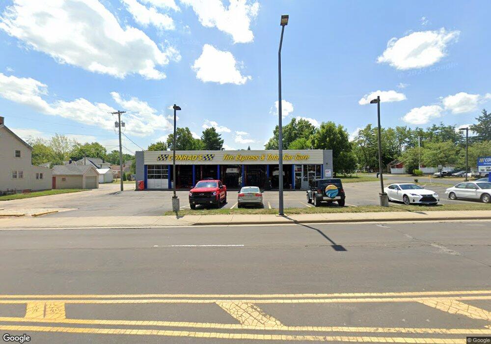
1570 W State St Alliance, OH 44601
Estimated Value: $407,601
Studio
2
Baths
3,528
Sq Ft
$116/Sq Ft
Est. Value
About This Home
This home is located at 1570 W State St, Alliance, OH 44601 and is currently estimated at $407,601, approximately $115 per square foot. 1570 W State St is a home located in Stark County with nearby schools including Alliance Elementary School at Rockhill, Alliance Intermediate School at Northside, and Alliance Middle School.
Ownership History
Date
Name
Owned For
Owner Type
Purchase Details
Closed on
Nov 8, 2002
Sold by
Heaton Joel Brion and Heaton Kathleen Hoge
Bought by
Alliance Ventures Inc
Current Estimated Value
Home Financials for this Owner
Home Financials are based on the most recent Mortgage that was taken out on this home.
Original Mortgage
$150,000
Outstanding Balance
$63,198
Interest Rate
6.1%
Mortgage Type
Seller Take Back
Estimated Equity
$344,403
Create a Home Valuation Report for This Property
The Home Valuation Report is an in-depth analysis detailing your home's value as well as a comparison with similar homes in the area
Home Values in the Area
Average Home Value in this Area
Purchase History
| Date | Buyer | Sale Price | Title Company |
|---|---|---|---|
| Alliance Ventures Inc | $200,000 | -- |
Source: Public Records
Mortgage History
| Date | Status | Borrower | Loan Amount |
|---|---|---|---|
| Open | Alliance Ventures Inc | $150,000 |
Source: Public Records
Tax History
| Year | Tax Paid | Tax Assessment Tax Assessment Total Assessment is a certain percentage of the fair market value that is determined by local assessors to be the total taxable value of land and additions on the property. | Land | Improvement |
|---|---|---|---|---|
| 2025 | -- | $117,190 | $39,940 | $77,250 |
| 2024 | -- | $117,190 | $39,940 | $77,250 |
| 2023 | $6,732 | $127,020 | $71,440 | $55,580 |
| 2022 | $6,797 | $127,020 | $71,440 | $55,580 |
| 2021 | $6,765 | $127,020 | $71,440 | $55,580 |
| 2020 | $6,757 | $117,610 | $64,930 | $52,680 |
| 2019 | $6,222 | $111,030 | $64,930 | $46,100 |
Source: Public Records
Map
Nearby Homes
- 0 Federal Ave
- 2120 Blenheim Ave
- 1718 Fernwood Blvd
- 1534 Fernwood Blvd
- 1601 Raywood Rd
- 2635 Blenheim Ave
- 2580 Edgewood Ave
- 2630 Blenheim Ave
- 1016 Roseland Rd
- 2420 Beechwood Ave
- 1310 Overlook Dr
- 1235 Spring Ridge Cir Unit 17A
- 1156 Parkside Dr
- 864 W College Rd
- 1539 Parkway Blvd
- 1114 Briarcliff Ave
- 0 Winchester St
- 0 Winchester St Unit 5162877
- 3018 Blenheim Ave
- 720 Vincent Blvd
- 1516 W State St
- 1502 W State St
- 0 Western Ave
- 2054 Western Ave
- 2054 Western Ave
- 1622 W State St
- 2035 Federal Ave
- 2045 Federal Ave
- 1573 W State St
- 2055 Federal Ave
- 1583 W State St
- 2065 Federal Ave
- 1617 W State St
- 2076 Western Ave
- 2055 Western Ave
- 1535 W State St
- 2075 Federal Ave
- 1515 W State St
- 2034 Federal Ave
- 2071 Western Ave
Your Personal Tour Guide
Ask me questions while you tour the home.