15700 Monaghan Rd Brighton, CO 80603
Estimated Value: $1,116,000 - $1,172,000
5
Beds
5
Baths
3,417
Sq Ft
$335/Sq Ft
Est. Value
About This Home
This home is located at 15700 Monaghan Rd, Brighton, CO 80603 and is currently estimated at $1,144,000, approximately $334 per square foot. 15700 Monaghan Rd is a home located in Adams County with nearby schools including Overland Trail Middle School and Brighton High School.
Ownership History
Date
Name
Owned For
Owner Type
Purchase Details
Closed on
Feb 24, 2016
Sold by
Marion Roy J and Marion Sallie
Bought by
The County Of Adams
Current Estimated Value
Purchase Details
Closed on
Dec 4, 2015
Sold by
Newhall Chandler C and Newhall Amy
Bought by
Marion Roy J and Marion Sallie
Purchase Details
Closed on
Dec 1, 2015
Sold by
Marion Roy J and Marion Sallie
Bought by
Newhall Chandler C and Newhall Amy
Purchase Details
Closed on
Jan 15, 2015
Sold by
Marion Roy J and Marion Sallie
Bought by
Newhall Chandler C and Newhall Amy
Purchase Details
Closed on
Jan 18, 2006
Sold by
Kallsen & Sons Inc
Bought by
Marion Roy J and Marion Sallie
Create a Home Valuation Report for This Property
The Home Valuation Report is an in-depth analysis detailing your home's value as well as a comparison with similar homes in the area
Purchase History
| Date | Buyer | Sale Price | Title Company |
|---|---|---|---|
| The County Of Adams | -- | None Available | |
| Marion Roy J | -- | None Available | |
| Newhall Chandler C | -- | None Available | |
| Newhall Chandler C | $195,700 | Land Title Guarantee Company | |
| Marion Roy J | $225,000 | None Available |
Source: Public Records
Tax History
| Year | Tax Paid | Tax Assessment Tax Assessment Total Assessment is a certain percentage of the fair market value that is determined by local assessors to be the total taxable value of land and additions on the property. | Land | Improvement |
|---|---|---|---|---|
| 2025 | $8,059 | $85,270 | $47,450 | $37,820 |
| 2024 | $8,059 | $78,370 | $43,610 | $34,760 |
| 2023 | $8,019 | $92,610 | $16,260 | $76,350 |
| 2022 | $5,621 | $54,470 | $16,700 | $37,770 |
| 2021 | $5,235 | $54,470 | $16,700 | $37,770 |
| 2020 | $4,874 | $52,920 | $16,080 | $36,840 |
| 2019 | $4,879 | $52,920 | $16,080 | $36,840 |
| 2018 | $4,177 | $45,280 | $15,910 | $29,370 |
| 2017 | $4,084 | $44,340 | $15,910 | $28,430 |
| 2016 | $4,215 | $45,590 | $13,270 | $32,320 |
| 2015 | $127 | $1,380 | $1,380 | $0 |
| 2014 | $104 | $1,150 | $1,150 | $0 |
Source: Public Records
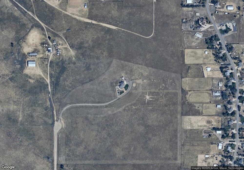
Map
Nearby Homes
- 28550 E 159th Ave
- 16295 Bently St
- 29980 E 161st Ave
- 30045 E 161st Ave
- 30315 E 161st Ave
- 30355 E 161st Ave
- 30400 E 162nd St Unit corner
- 29585 E 165th Ave
- 30300 E 162nd Ave
- 29050 E 167th Ave
- 30185 E 166th Ave
- 0 E 152nd Ave
- 14955 Lanewood St
- 30959 E 151st Ave
- 16143 Kenosha Ct
- 16125 Kenosha Ct Unit corner
- 16157 Kenosha Ct
- 31460 E 162nd Ave
- 31501 E 161st Ct
- 14476 N Maywood Ct
- 15775 Gadsden Dr
- 15735 Gadsden Dr
- 15795 Gadsden Dr
- 15755 Gadsden Dr
- 15675 Gadsden Dr
- 15711 Gadsden Dr
- 15695 Gadsden Dr
- 15835 Gadsden Dr
- 15655 Gadsden Dr
- 15555 Gadsden Dr
- 15615 Gadsden Dr
- 15575 Gadsden Dr
- 15702 Gadsden Dr
- 15602 Gadsden Dr
- 15895 Gadsden Dr
- 15762 Gadsden Dr
- 15582 Gadsden Dr
- 28650 E 159th Ave
- 15742 Gadsden Dr
- 15682 Gadsden Dr
Your Personal Tour Guide
Ask me questions while you tour the home.