15701 Mcclellan Rd Springport, MI 49284
Estimated Value: $450,000
2
Beds
1
Bath
1,092
Sq Ft
$412/Sq Ft
Est. Value
About This Home
This home is located at 15701 Mcclellan Rd, Springport, MI 49284 and is currently estimated at $450,000, approximately $412 per square foot. 15701 Mcclellan Rd is a home located in Jackson County with nearby schools including Springport Elementary School, Springport Middle School, and Springport High School.
Ownership History
Date
Name
Owned For
Owner Type
Purchase Details
Closed on
Jun 2, 2017
Sold by
Moss Ronald K and Moss Cheryl L
Bought by
Moss Ronald R
Current Estimated Value
Home Financials for this Owner
Home Financials are based on the most recent Mortgage that was taken out on this home.
Original Mortgage
$114,000
Outstanding Balance
$94,850
Interest Rate
4.03%
Mortgage Type
Future Advance Clause Open End Mortgage
Estimated Equity
$355,150
Purchase Details
Closed on
Dec 7, 1992
Sold by
Moss Victor E and Moss Marjorie C
Bought by
Moss Ronald K and Moss Cheryl L
Purchase Details
Closed on
May 7, 1981
Sold by
Moss Ronald Kent
Bought by
Moss Ronald K and Moss Cheryl L
Create a Home Valuation Report for This Property
The Home Valuation Report is an in-depth analysis detailing your home's value as well as a comparison with similar homes in the area
Purchase History
| Date | Buyer | Sale Price | Title Company |
|---|---|---|---|
| Moss Ronald R | $90,000 | Attorney | |
| Moss Ronald K | $6,000 | -- | |
| Moss Ronald K | $6,000 | -- |
Source: Public Records
Mortgage History
| Date | Status | Borrower | Loan Amount |
|---|---|---|---|
| Open | Moss Ronald R | $114,000 |
Source: Public Records
Tax History
| Year | Tax Paid | Tax Assessment Tax Assessment Total Assessment is a certain percentage of the fair market value that is determined by local assessors to be the total taxable value of land and additions on the property. | Land | Improvement |
|---|---|---|---|---|
| 2025 | $2,272 | $235,700 | $0 | $0 |
| 2024 | $7 | $216,300 | $0 | $0 |
| 2023 | $665 | $212,700 | $0 | $0 |
| 2022 | $1,424 | $214,100 | $0 | $0 |
| 2021 | $2,027 | $204,600 | $0 | $0 |
| 2020 | $614 | $138,700 | $0 | $0 |
| 2019 | $1,964 | $142,500 | $0 | $0 |
| 2018 | $1,925 | $140,800 | $0 | $0 |
| 2017 | $1,820 | $141,100 | $0 | $0 |
| 2016 | $572 | $122,200 | $122,200 | $0 |
| 2015 | -- | $112,500 | $112,500 | $0 |
| 2014 | -- | $103,400 | $0 | $0 |
| 2013 | -- | $103,400 | $103,400 | $0 |
Source: Public Records
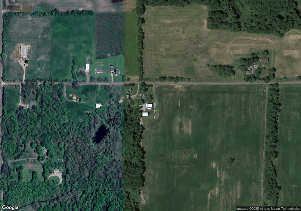
Map
Nearby Homes
- 10870 Eaton Rapids Rd
- 330 Grand St
- 598 E Main St
- 252 Bay Port Cir Unit 19
- 216 Bayport Cir Unit 10
- 279 York Harbor Unit 34
- 29510 S Dr N
- 9733 Blue Heron
- 28660 E Baseline Hwy
- 16711 Stark Rd
- 13025 Pope Church Rd
- 12261 Pope Church Rd
- 8840 Houston Rd
- 7295 N Gibbs Rd
- 19822 27 1 2 Mile Rd
- 9761 Brown Rd
- Lot C Stoney Ln
- 26854 Q-Drive N
- 26506 E Baseline Hwy
- 6600 Calhoun Rd
- 15738 Mcclellan Rd
- 15886 Mcclellan Rd
- 11300 Holibaugh Rd
- 11300 Holibaugh Rd
- 11302 Holibaugh Rd
- 15961 Mcclellan Rd
- 15502 Mcclellan Rd
- 7.11 Ac Vl Mc Clellan Rd
- 11264 Holibaugh Rd
- 11501 Holibaugh Rd
- 11391 Holibaugh Rd
- 11383 Holibaugh Rd
- 11259 Holibaugh Rd
- 11259 Holibaugh Rd
- 15375 Mcclellan Rd
- 11162 Holibaugh Rd
- 0000 Holibaugh Rd
- 11669 Holibaugh Rd
- 11740 Holibaugh Rd
- 11021 Holibaugh Rd
Your Personal Tour Guide
Ask me questions while you tour the home.