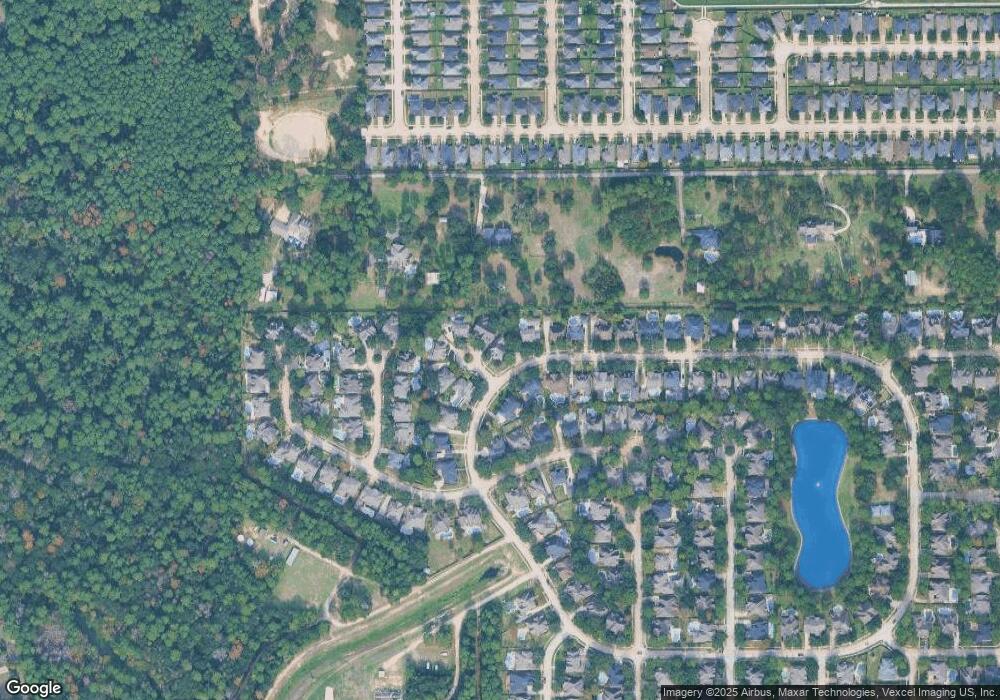
15702 Stable View Ct Cypress, TX 77429
Estimated Value: $503,736 - $552,000
4
Beds
3
Baths
3,285
Sq Ft
$161/Sq Ft
Est. Value
About This Home
This home is located at 15702 Stable View Ct, Cypress, TX 77429 and is currently estimated at $529,684, approximately $161 per square foot. 15702 Stable View Ct is a home located in Harris County with nearby schools including Black Elementary School, Goodson Middle, and Cypress Woods High School.
Ownership History
Date
Name
Owned For
Owner Type
Purchase Details
Closed on
Oct 23, 2009
Sold by
Laird Michael and Laird Wanda
Bought by
Allman Randy S and Allman Laura R
Current Estimated Value
Home Financials for this Owner
Home Financials are based on the most recent Mortgage that was taken out on this home.
Original Mortgage
$255,200
Outstanding Balance
$167,151
Interest Rate
5.14%
Mortgage Type
New Conventional
Estimated Equity
$362,533
Purchase Details
Closed on
Feb 20, 2004
Sold by
Partners In Building Lp
Bought by
Laird Michael and Laird Wanda
Home Financials for this Owner
Home Financials are based on the most recent Mortgage that was taken out on this home.
Original Mortgage
$237,050
Interest Rate
5.86%
Mortgage Type
Purchase Money Mortgage
Create a Home Valuation Report for This Property
The Home Valuation Report is an in-depth analysis detailing your home's value as well as a comparison with similar homes in the area
Home Values in the Area
Average Home Value in this Area
Purchase History
| Date | Buyer | Sale Price | Title Company |
|---|---|---|---|
| Allman Randy S | -- | Multiple | |
| Laird Michael | -- | Texas American Title Company |
Source: Public Records
Mortgage History
| Date | Status | Borrower | Loan Amount |
|---|---|---|---|
| Open | Allman Randy S | $255,200 | |
| Previous Owner | Laird Michael | $237,050 |
Source: Public Records
Tax History Compared to Growth
Tax History
| Year | Tax Paid | Tax Assessment Tax Assessment Total Assessment is a certain percentage of the fair market value that is determined by local assessors to be the total taxable value of land and additions on the property. | Land | Improvement |
|---|---|---|---|---|
| 2025 | $3,590 | $453,070 | $95,274 | $357,796 |
| 2024 | $3,590 | $501,700 | $95,274 | $406,426 |
| 2023 | $3,590 | $526,706 | $95,274 | $431,432 |
| 2022 | $7,818 | $448,819 | $67,927 | $380,892 |
| 2021 | $7,475 | $357,496 | $67,927 | $289,569 |
| 2020 | $7,829 | $363,429 | $62,663 | $300,766 |
| 2019 | $7,825 | $350,000 | $59,986 | $290,014 |
| 2018 | $3,552 | $339,600 | $59,986 | $279,614 |
| 2017 | $7,827 | $350,000 | $59,986 | $290,014 |
| 2016 | $7,827 | $350,000 | $59,986 | $290,014 |
| 2015 | $5,718 | $350,000 | $59,986 | $290,014 |
| 2014 | $5,718 | $325,282 | $59,986 | $265,296 |
Source: Public Records
Map
Nearby Homes
- 15826 Stable Creek Cir
- 15834 Aldridge Creek Ct
- 15802 Telge Rd
- 15722 Telge Rd
- 15807 Telge Rd
- 15803 Telge Rd
- 14214 Boerne Country Dr
- 15702 Knauff Ranch Ct
- 16107 Heights Harvest Ln
- 14106 Junction Creek Ln
- 15211 Sunlight Bay Ct
- 15719 Pinedell Dr
- 15711 Telge Rd
- 15206 Desert Star Ct
- 16350 Melody View Ct
- 14715 Poplar Lake Trail
- 15103 Cypress Post Ln
- 16003 Cypress Farms Dr
- 15723 Telge Ridge Ln
- Plan 254 at Telge Ranch - Lake Ridge
- 15706 Stable View Ct
- 15614 Stable Oak Dr
- 15615 Stable Oak Dr
- 15710 Stable View Ct
- 15610 Stable Oak Dr
- 15614 Stable Park Dr
- 15703 Stable View Ct
- 15611 Stable Oak Dr
- 15711 Stable View Ct
- 15707 Stable View Ct
- 15606 Stable Oak Dr
- 15607 Stable Oak Dr
- 15622 Stallion Peak Cir
- 15611 Stable Park Dr
- 15626 Stallion Peak Cir
- 15618 Stable Brook Cir
- 15630 Stallion Peak Cir
- 15618 Stallion Peak Cir
- 15602 Stable Oak Dr
- 15622 Stable Brook Cir
