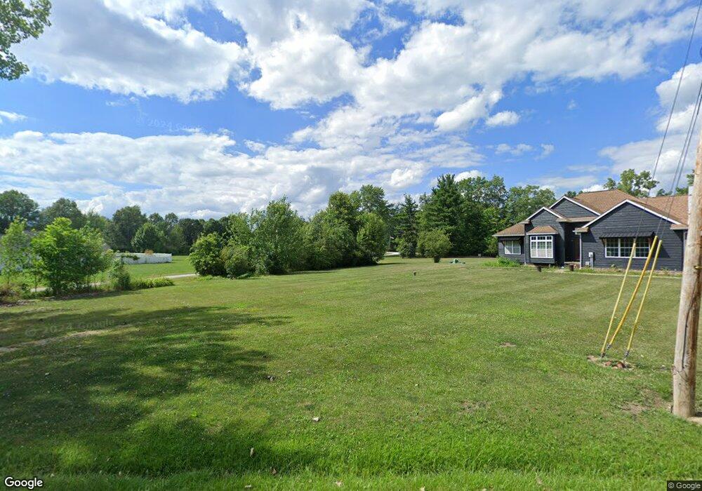
15705 Lowe Rd NE Alliance, OH 44601
Estimated Value: $154,000 - $366,000
2
Beds
2
Baths
1,698
Sq Ft
$151/Sq Ft
Est. Value
About This Home
This home is located at 15705 Lowe Rd NE, Alliance, OH 44601 and is currently estimated at $257,209, approximately $151 per square foot. 15705 Lowe Rd NE is a home located in Stark County with nearby schools including Marlington High School.
Ownership History
Date
Name
Owned For
Owner Type
Purchase Details
Closed on
Sep 27, 2000
Sold by
Loy Judith Ann
Bought by
Loy James E and Loy Judith Ann
Current Estimated Value
Purchase Details
Closed on
May 26, 2000
Sold by
Lou James E
Bought by
Loy Judith Ann
Home Financials for this Owner
Home Financials are based on the most recent Mortgage that was taken out on this home.
Original Mortgage
$110,500
Interest Rate
7.5%
Create a Home Valuation Report for This Property
The Home Valuation Report is an in-depth analysis detailing your home's value as well as a comparison with similar homes in the area
Home Values in the Area
Average Home Value in this Area
Purchase History
| Date | Buyer | Sale Price | Title Company |
|---|---|---|---|
| Loy James E | -- | -- | |
| Loy Judith Ann | -- | -- | |
| Loy Judith Ann | -- | -- |
Source: Public Records
Mortgage History
| Date | Status | Borrower | Loan Amount |
|---|---|---|---|
| Previous Owner | Loy Judith Ann | $110,500 |
Source: Public Records
Tax History Compared to Growth
Tax History
| Year | Tax Paid | Tax Assessment Tax Assessment Total Assessment is a certain percentage of the fair market value that is determined by local assessors to be the total taxable value of land and additions on the property. | Land | Improvement |
|---|---|---|---|---|
| 2025 | -- | $91,740 | $26,290 | $65,450 |
| 2024 | -- | $91,740 | $26,290 | $65,450 |
| 2023 | $2,381 | $76,480 | $19,320 | $57,160 |
| 2022 | $1,202 | $76,480 | $19,320 | $57,160 |
| 2021 | $2,412 | $76,480 | $19,320 | $57,160 |
| 2020 | $2,255 | $65,170 | $16,660 | $48,510 |
| 2019 | $2,240 | $65,180 | $16,670 | $48,510 |
| 2018 | $2,243 | $65,180 | $16,670 | $48,510 |
| 2017 | $2,120 | $58,700 | $11,450 | $47,250 |
| 2016 | $2,120 | $58,700 | $11,450 | $47,250 |
| 2015 | $2,027 | $58,880 | $11,450 | $47,430 |
| 2014 | $57 | $55,200 | $10,750 | $44,450 |
| 2013 | $1,023 | $55,200 | $10,750 | $44,450 |
Source: Public Records
Map
Nearby Homes
- 0 Knoll St NE
- 15789 Coalbank St NE
- 15520 Coalbank St NE
- 13975 Greenbower St NE
- 7374 Virginia Rd
- 20871 N Benton Rd W
- 15995 Elbrook St NE
- 14723 Bolton St NE
- 14422 Sturbridge Rd NE
- 15832 Waverly St NE
- 11344 Walnut Ave NE
- 11310 Webb Ave NE
- 0 Johnson Ave NE Unit 5142926
- 0 Homestead Ave NE
- 0 Klinger Ave NE
- 0 Meadowbrook Ave
- 13109 Edison St NE
- 1440 Porter Rd
- 652 N Webb Ave
- German Church Street North E Unit LotWP001
- 15707 Lowe Rd NE
- 15679 Lowe Rd NE
- 15729 Lowe Rd NE
- 14408 Union Ave NE
- 15767 Lowe Rd NE
- 15643 Lowe Rd NE
- 15742 Lowe Rd NE
- 15668 Lowe Rd NE
- 15804 Lowe Rd NE
- 14379 Union Ave NE
- 15578 Lowe Rd NE
- 15544 Lowe Rd NE
- 14232 Union Ave NE
- 14811 Union Ave
- 14811 Union Ave NE
- 14112 Union Ave NE
- 0 Lowe Rd NE
- 14141 Union Ave NE
- 14125 Union Ave NE
- 16080 Lowe Rd NE