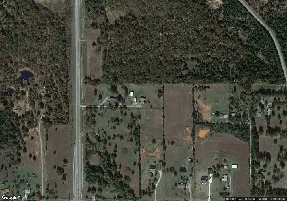
15709 Highway 102 Shawnee, OK 74801
Estimated Value: $104,000 - $275,000
3
Beds
1
Bath
1,737
Sq Ft
$116/Sq Ft
Est. Value
About This Home
This home is located at 15709 Highway 102, Shawnee, OK 74801 and is currently estimated at $201,257, approximately $115 per square foot. 15709 Highway 102 is a home located in Pottawatomie County with nearby schools including Bethel Elementary School, Bethel Middle School, and Bethel High School.
Ownership History
Date
Name
Owned For
Owner Type
Purchase Details
Closed on
Sep 18, 2025
Sold by
Lovett Sharon C
Bought by
Kite Carrie
Current Estimated Value
Home Financials for this Owner
Home Financials are based on the most recent Mortgage that was taken out on this home.
Original Mortgage
$122,550
Outstanding Balance
$122,550
Interest Rate
6.58%
Mortgage Type
New Conventional
Estimated Equity
$78,707
Purchase Details
Closed on
Nov 29, 2021
Sold by
Lovett Sharon C
Bought by
Lovett Sharon C and Lovett Randall Todd
Purchase Details
Closed on
Sep 7, 2021
Sold by
Lovett Benny C
Bought by
Lovett Sharon C
Create a Home Valuation Report for This Property
The Home Valuation Report is an in-depth analysis detailing your home's value as well as a comparison with similar homes in the area
Home Values in the Area
Average Home Value in this Area
Purchase History
| Date | Buyer | Sale Price | Title Company |
|---|---|---|---|
| Kite Carrie | $129,000 | First American Title | |
| Lovett Sharon C | -- | None Listed On Document | |
| Lovett Sharon C | -- | -- |
Source: Public Records
Mortgage History
| Date | Status | Borrower | Loan Amount |
|---|---|---|---|
| Open | Kite Carrie | $122,550 |
Source: Public Records
Tax History Compared to Growth
Tax History
| Year | Tax Paid | Tax Assessment Tax Assessment Total Assessment is a certain percentage of the fair market value that is determined by local assessors to be the total taxable value of land and additions on the property. | Land | Improvement |
|---|---|---|---|---|
| 2024 | $353 | $4,422 | $702 | $3,720 |
| 2023 | $353 | $4,293 | $631 | $3,662 |
| 2022 | $333 | $4,168 | $615 | $3,553 |
| 2021 | $332 | $4,168 | $615 | $3,553 |
| 2020 | $317 | $3,929 | $584 | $3,345 |
| 2019 | $305 | $3,814 | $584 | $3,230 |
| 2018 | $289 | $3,704 | $561 | $3,143 |
| 2017 | $250 | $3,596 | $543 | $3,053 |
| 2016 | $242 | $3,491 | $511 | $2,980 |
| 2015 | $233 | $3,389 | $684 | $2,705 |
| 2014 | $223 | $3,291 | $695 | $2,596 |
Source: Public Records
Map
Nearby Homes
- 16 Post Office Ln
- 34501 Lake Rd
- 37207 Lake Rd
- 34853 Wildcat Way
- 112 Overland Ct
- 104 Overland Ct
- 118 Savannah Square
- 103 Valley Rim Ct
- 11 Tonya Rd
- 14955 White Oak Ln
- 16244 Patterson Rd
- 33109 Hardesty Rd
- 17195 Bethel Rd
- 35502 Pecan Grove Rd
- 210 Amber Ridge
- 32504 Pecan Grove Rd
- 31 Amber Ridge
- 319 Starlight Dr
- 5668 Bent Creek Rd
- 4 Raymond Rd