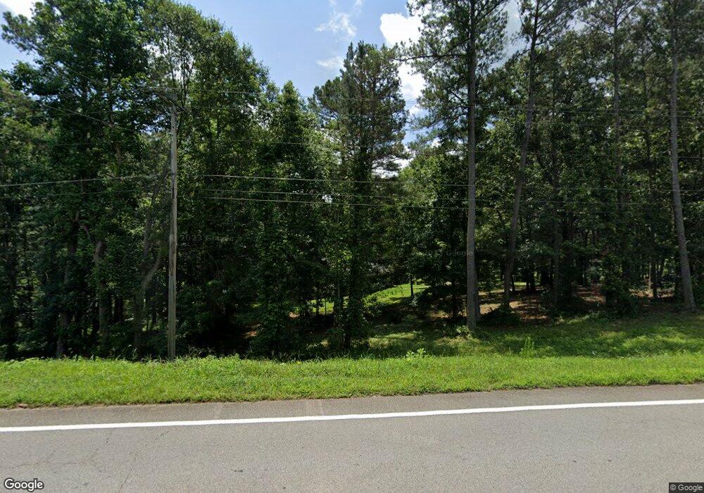
1571 Highway 82 Winder, GA 30680
Estimated Value: $325,000 - $423,670
3
Beds
2
Baths
1,964
Sq Ft
$202/Sq Ft
Est. Value
About This Home
This home is located at 1571 Highway 82, Winder, GA 30680 and is currently estimated at $397,668, approximately $202 per square foot. 1571 Highway 82 is a home located in Barrow County with nearby schools including Statham Elementary School, Bear Creek Middle School, and Winder-Barrow High School.
Ownership History
Date
Name
Owned For
Owner Type
Purchase Details
Closed on
May 17, 2017
Sold by
Amason Paul M
Bought by
Doerner Steven Wayne and Doerner Martha Wright
Current Estimated Value
Purchase Details
Closed on
Jun 11, 1990
Bought by
Grace Michael John I
Create a Home Valuation Report for This Property
The Home Valuation Report is an in-depth analysis detailing your home's value as well as a comparison with similar homes in the area
Home Values in the Area
Average Home Value in this Area
Purchase History
| Date | Buyer | Sale Price | Title Company |
|---|---|---|---|
| Doerner Steven Wayne | $200,000 | -- | |
| Grace Michael John I | $50,000 | -- |
Source: Public Records
Tax History Compared to Growth
Tax History
| Year | Tax Paid | Tax Assessment Tax Assessment Total Assessment is a certain percentage of the fair market value that is determined by local assessors to be the total taxable value of land and additions on the property. | Land | Improvement |
|---|---|---|---|---|
| 2024 | $1,761 | $126,592 | $39,410 | $87,182 |
| 2023 | $2,009 | $126,592 | $39,410 | $87,182 |
| 2022 | $1,192 | $96,953 | $39,410 | $57,543 |
| 2021 | $999 | $87,458 | $27,748 | $59,710 |
| 2020 | $758 | $78,947 | $24,500 | $54,447 |
| 2019 | $794 | $78,947 | $24,500 | $54,447 |
| 2018 | $762 | $78,921 | $24,500 | $54,421 |
| 2017 | $1,947 | $66,882 | $24,500 | $42,382 |
| 2016 | $1,858 | $65,374 | $24,500 | $40,874 |
| 2015 | $1,899 | $66,418 | $24,500 | $41,918 |
| 2014 | -- | $54,448 | $12,005 | $42,442 |
| 2013 | -- | $51,979 | $12,005 | $39,974 |
Source: Public Records
Map
Nearby Homes
- 1593 Highway 82
- 315 Paige Way
- 29 Nunnally Rd SE
- 1423 Red Oak Way
- 1642 White Oak Dr
- 2075 Georgia Highway 211
- 2075 Highway 211 NE
- 1415 Red Oak Way
- 2141 Kirkland Dr
- 330 Anchors Way
- 206 Ballast Trail
- 532 Hemlock Dr
- 1917 Hearthstone Ct
- 1916 Hearthstone Ct
- 1914 Hearthstone Ct
- 410 Tori Dr
- 1610 Trey Ln
- 23 Pierce Trail
- 130 (Tract 1) Bowman Mill Rd NE
- 130 Bowman Mill Rd NE Unit 1
- 3 Sweet Apple Ln
- 16 Sweet Apple Ln
- 1581 Highway 82
- 0 Sweet Apple Ln Unit 7521920
- 0 Sweet Apple Ln Unit 8852628
- 0 Sweet Apple Ln Unit 3172999
- 0 Sweet Apple Ln Unit 3182532
- 0 Sweet Apple Ln Unit 7285015
- 0 Sweet Apple Ln Unit 7162485
- 0 Sweet Apple Ln
- 11 Sweet Apple Ln
- 17 Sweet Apple Ln
- 220 Mona Ct
- 240 Mona Ct
- 15 Joyce Run
- 8 Sweet Apple Ln
- 105 Joyce Run
- 105 Joyce Run Unit 3
- 0 Joyce Run
- 21 Sweet Apple Ln
