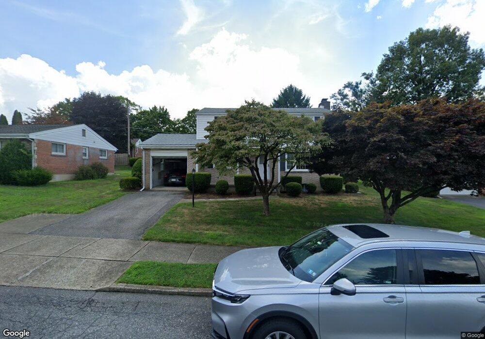
1571 Lois Ln Bethlehem, PA 18018
West Bethlehem NeighborhoodEstimated Value: $359,000 - $381,000
4
Beds
2
Baths
1,600
Sq Ft
$232/Sq Ft
Est. Value
About This Home
This home is located at 1571 Lois Ln, Bethlehem, PA 18018 and is currently estimated at $370,574, approximately $231 per square foot. 1571 Lois Ln is a home located in Lehigh County with nearby schools including James Buchanan Elementary School, Nitschmann Middle School, and Liberty High School.
Ownership History
Date
Name
Owned For
Owner Type
Purchase Details
Closed on
Oct 31, 1997
Sold by
Landis William J and Landis Carol M
Bought by
Landis William J
Current Estimated Value
Purchase Details
Closed on
Apr 2, 1993
Sold by
Landis William J and Vassa Carol M
Bought by
Landis William J and Landis Carol M
Purchase Details
Closed on
Jan 22, 1992
Sold by
Landis William L and Landis Martha J
Bought by
Landis William J and Vassa Carol M
Create a Home Valuation Report for This Property
The Home Valuation Report is an in-depth analysis detailing your home's value as well as a comparison with similar homes in the area
Home Values in the Area
Average Home Value in this Area
Purchase History
| Date | Buyer | Sale Price | Title Company |
|---|---|---|---|
| Landis William J | -- | -- | |
| Landis William J | -- | -- | |
| Landis William J | $37,500 | -- |
Source: Public Records
Tax History Compared to Growth
Tax History
| Year | Tax Paid | Tax Assessment Tax Assessment Total Assessment is a certain percentage of the fair market value that is determined by local assessors to be the total taxable value of land and additions on the property. | Land | Improvement |
|---|---|---|---|---|
| 2025 | $4,927 | $171,500 | $27,300 | $144,200 |
| 2024 | $4,871 | $171,500 | $27,300 | $144,200 |
| 2023 | $4,828 | $171,500 | $27,300 | $144,200 |
| 2022 | $4,907 | $171,500 | $144,200 | $27,300 |
| 2021 | $4,884 | $171,500 | $27,300 | $144,200 |
| 2020 | $4,728 | $171,500 | $27,300 | $144,200 |
| 2019 | $4,763 | $171,500 | $27,300 | $144,200 |
| 2018 | $4,670 | $171,500 | $27,300 | $144,200 |
| 2017 | $4,462 | $171,500 | $27,300 | $144,200 |
| 2016 | -- | $171,500 | $27,300 | $144,200 |
| 2015 | -- | $171,500 | $27,300 | $144,200 |
| 2014 | -- | $171,500 | $27,300 | $144,200 |
Source: Public Records
Map
Nearby Homes
- 1541 Stanford Rd
- 1011 Highland Ave
- 1440 Greenview Dr
- 1309 Greenview Dr
- 1336 Greenview Dr
- 1559 Kelchner Rd
- 1768 W Union Blvd
- 1247 Birchwood Dr
- 1334 W Union Blvd
- 922 Beverly Ave
- 1918 Pinehurst Rd
- 1209 Manchester Rd
- 650 Highland Ave
- 1556 Bayberry Ln
- 1853 Richmond Ave
- 635 11th Ave
- 1198 Pennsylvania Ave
- 1512 W Broad St
- 1305 Statten Ave
- 2392 Jacksonville Rd