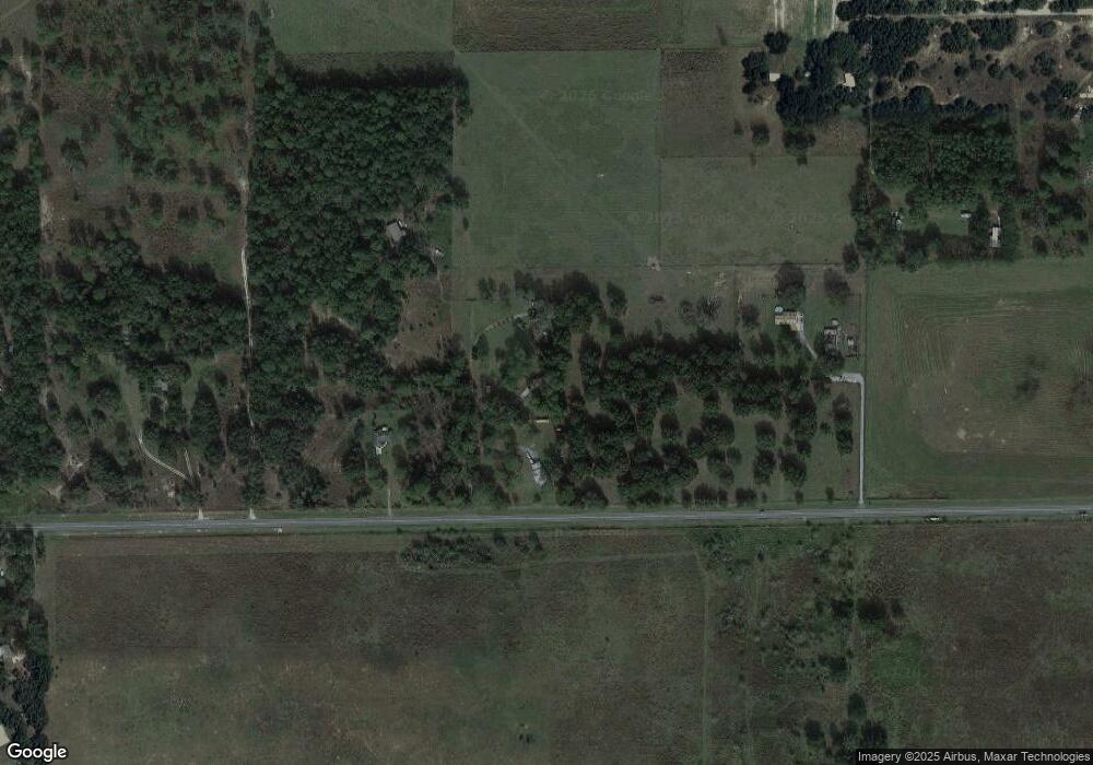
1571 N Family Point Lecanto, FL 34461
Lecanto NeighborhoodEstimated Value: $241,678 - $306,000
3
Beds
2
Baths
1,423
Sq Ft
$199/Sq Ft
Est. Value
About This Home
This home is located at 1571 N Family Point, Lecanto, FL 34461 and is currently estimated at $283,170, approximately $198 per square foot. 1571 N Family Point is a home located in Citrus County with nearby schools including Lecanto Primary School, Lecanto Middle School, and Lecanto High School.
Ownership History
Date
Name
Owned For
Owner Type
Purchase Details
Closed on
Oct 30, 2024
Sold by
Allen Charles A
Bought by
Charles A Allen Living Trust and Allen
Current Estimated Value
Purchase Details
Closed on
Oct 21, 2024
Sold by
Allen Stephanie C and Corriveau Stephanie C
Bought by
Allen Charles A
Purchase Details
Closed on
Mar 1, 1993
Bought by
Allen Charles A
Purchase Details
Closed on
Jun 1, 1981
Bought by
Allen Charles A
Create a Home Valuation Report for This Property
The Home Valuation Report is an in-depth analysis detailing your home's value as well as a comparison with similar homes in the area
Home Values in the Area
Average Home Value in this Area
Purchase History
| Date | Buyer | Sale Price | Title Company |
|---|---|---|---|
| Charles A Allen Living Trust | $100 | None Listed On Document | |
| Allen Charles A | $100 | None Listed On Document | |
| Allen Charles A | $100 | None Listed On Document | |
| Allen Charles A | $100 | -- | |
| Allen Charles A | $2,700 | -- |
Source: Public Records
Tax History Compared to Growth
Tax History
| Year | Tax Paid | Tax Assessment Tax Assessment Total Assessment is a certain percentage of the fair market value that is determined by local assessors to be the total taxable value of land and additions on the property. | Land | Improvement |
|---|---|---|---|---|
| 2024 | $655 | $73,453 | -- | -- |
| 2023 | $655 | $71,314 | $0 | $0 |
| 2022 | $632 | $69,237 | $0 | $0 |
| 2021 | $622 | $67,220 | $0 | $0 |
| 2020 | $564 | $127,771 | $7,360 | $120,411 |
| 2019 | $563 | $113,707 | $7,360 | $106,347 |
| 2018 | $542 | $99,707 | $7,360 | $92,347 |
| 2017 | $545 | $62,286 | $7,340 | $54,946 |
| 2016 | $556 | $61,005 | $8,640 | $52,365 |
| 2015 | $561 | $60,581 | $8,380 | $52,201 |
| 2014 | $564 | $58,820 | $5,257 | $53,563 |
Source: Public Records
Map
Nearby Homes
- 3695 W Horace Allen St
- 3839 W Horace Allen St
- 1341 N Balko Path
- 1741 N Crooked Branch Dr
- 2598 N Troon Path
- 2767 W Norvell Bryant Hwy
- 1087 N Sloan Terrace
- 2622 N Carnoustie Loop
- 2689 N Carnoustie Loop
- 2853 W Norvell Bryant Hwy
- 2900 W Sunrise St
- 2583 N Troon Path
- 2623 N Prestwick Way
- 824 N Maylen Ave
- 2658 W Laureen St
- 4200 W Breckenridge Ct
- 3165 W Wentworth Loop
- 2553 W Norvell Bryant Hwy
- 2834 N Prestwick Way
- 3562 W Treyburn Path
- 1605 N Family Point
- 3495 W Horace Allen St
- 1601 N Carib Point
- 1657 N Carib Point
- 3575 W Horace Allen St N
- 3575 W Horace Allen St
- 1723 N Carib Point
- 3909 W Horace Allen St
- 1730 N Ribbon Terrace
- 3500 W Horace Allen St
- 3412 W Parkvile St
- 3412 W Parkville St
- 4020 W Horace Allen St
- 3632 W Norvell Bryant Hwy
- 4004 W Horace Allen St
- 1330 N Lecanto Hwy
- 1651 N Common Point
- 3435 W Parkville St
- 4082 W Brooks Gang Ct
