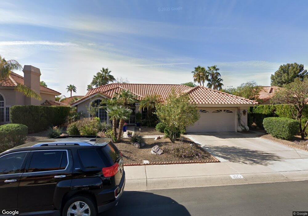
1571 W Post Rd Chandler, AZ 85224
Central Ridge NeighborhoodEstimated Value: $466,000 - $625,000
Studio
3
Baths
2,186
Sq Ft
$252/Sq Ft
Est. Value
About This Home
This home is located at 1571 W Post Rd, Chandler, AZ 85224 and is currently estimated at $550,743, approximately $251 per square foot. 1571 W Post Rd is a home located in Maricopa County with nearby schools including Andersen Elementary School, Andersen Junior High School, and Chandler High School.
Ownership History
Date
Name
Owned For
Owner Type
Purchase Details
Closed on
Jun 18, 2022
Sold by
Madden Family Trust and Madden Donald T
Bought by
Madden Family Trust and Madden
Current Estimated Value
Home Financials for this Owner
Home Financials are based on the most recent Mortgage that was taken out on this home.
Original Mortgage
$877,500
Outstanding Balance
$353,764
Interest Rate
1.4%
Mortgage Type
Reverse Mortgage Home Equity Conversion Mortgage
Estimated Equity
$196,979
Purchase Details
Closed on
Oct 26, 2010
Sold by
Madden Donald T and Madden Eileen D
Bought by
Madden Donald T and Madden Eileen D
Purchase Details
Closed on
Apr 16, 2002
Sold by
Madden Donald T and Madden Eileen D
Bought by
Madden Heather L
Purchase Details
Closed on
Jun 10, 1996
Sold by
Madden Donald T and Madden Eileen D
Bought by
Madden Donald T and Madden Eileen D
Create a Home Valuation Report for This Property
The Home Valuation Report is an in-depth analysis detailing your home's value as well as a comparison with similar homes in the area
Home Values in the Area
Average Home Value in this Area
Purchase History
| Date | Buyer | Sale Price | Title Company |
|---|---|---|---|
| Madden Family Trust | -- | Equity Settlement Services | |
| Madden Donald T | -- | None Available | |
| Madden Heather L | -- | -- | |
| Madden Donald T | -- | -- |
Source: Public Records
Mortgage History
| Date | Status | Borrower | Loan Amount |
|---|---|---|---|
| Open | Madden Family Trust | $877,500 | |
| Closed | Madden Family Trust | $877,500 |
Source: Public Records
Tax History
| Year | Tax Paid | Tax Assessment Tax Assessment Total Assessment is a certain percentage of the fair market value that is determined by local assessors to be the total taxable value of land and additions on the property. | Land | Improvement |
|---|---|---|---|---|
| 2025 | $2,009 | $25,794 | -- | -- |
| 2024 | $1,941 | $24,565 | -- | -- |
| 2023 | $1,941 | $43,570 | $8,710 | $34,860 |
| 2022 | $1,873 | $32,970 | $6,590 | $26,380 |
| 2021 | $1,963 | $30,680 | $6,130 | $24,550 |
| 2020 | $1,954 | $28,750 | $5,750 | $23,000 |
| 2019 | $1,879 | $27,170 | $5,430 | $21,740 |
| 2018 | $1,820 | $25,680 | $5,130 | $20,550 |
| 2017 | $1,696 | $24,660 | $4,930 | $19,730 |
| 2016 | $1,634 | $24,730 | $4,940 | $19,790 |
| 2015 | $1,583 | $22,430 | $4,480 | $17,950 |
Source: Public Records
Map
Nearby Homes
- 1577 N Cholla St
- 1511 W Corona Dr
- 1849 W Calle Del Norte
- 1540 W Orchid Ln
- 1511 N Central Dr
- 1721 W Temple St
- 1317 W Estrella Dr
- 1970 W Park Place
- 1722 N Comanche Dr
- 1825 W Ray Rd Unit 1071
- 1825 W Ray Rd Unit 1008
- 1825 W Ray Rd Unit 2036
- 1825 W Ray Rd Unit 2098
- 1825 W Ray Rd Unit 2120
- 1825 W Ray Rd Unit 1106
- 1825 W Ray Rd Unit 1148
- 1825 W Ray Rd Unit 1054
- 1825 W Ray Rd Unit 2072
- 1825 W Ray Rd Unit 2082
- 1825 W Ray Rd Unit 2145
Your Personal Tour Guide
Ask me questions while you tour the home.